Galax, Virginia — The American South (Mid-Atlantic)
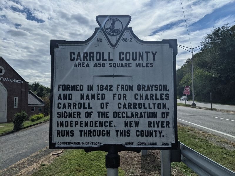
Carroll County
Area 458 Square Miles
⎯⎯⎯
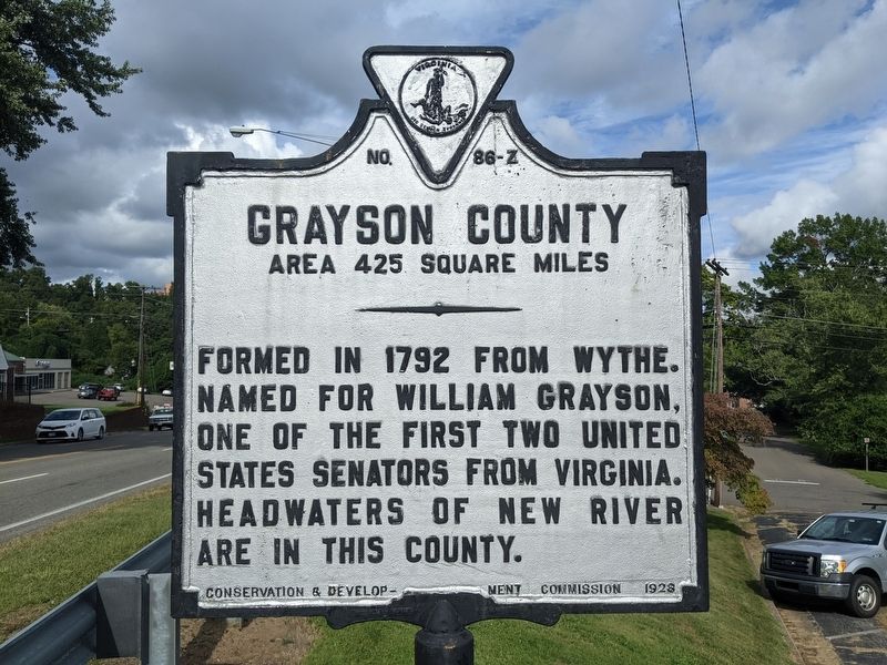
Grayson County
Area 425 Square Miles
Photographed by Mike Wintermantel, September 17, 2021
1. Carroll County Marker
Carroll County Area 458 Square Miles. Formed in 1842 from Grayson, and named for Charles Carroll of Carrollton, signer of the Declaration of Independence. New River runs through this county.
Grayson County Area 425 Square Miles. Formed in 1792 from Wythe. Named for William Grayson, one of the first two United States senators from Virginia. Headwaters of New River are in this county.
Erected 1928 by Conservation and Development Commission. (Marker Number 86-Z.)
Topics. This historical marker is listed in this topic list: Notable Places. A significant historical year for this entry is 1842.
Location. 36° 39.911′ N, 80° 55.678′ W. Marker is in Galax, Virginia. It is on West Stuart Street west of North Jefferson Street, on the right when traveling east. Touch for map. Marker is at or near this postal address: 402 N Jefferson St, Galax VA 24333, United States of America. Touch for directions.

Regionally, this marker is in Southwest Virginia and in the Blue Ridge Highlands. It is also in the American South and specifically in the Upper South. Globally, it is in North America, the Western Hemisphere, the Western
this page online
Other nearby markers. At least 8 other markers are within walking distance of this marker: The Railroad: Lifeline to the World (about 600 feet away, measured in a direct line); Furniture Manufacturing: A Firm Seat (about 700 feet away); Galax: Home of Traditional Mountain Music (approx. 0.2 miles away); Galax (approx. ¼ mile away); Galax: Nature's Influence (approx. ¼ mile away); An Early Water System Before Electricity Was Available (approx. half a mile away); Veterans Memorial (approx. half a mile away); a different marker also named Galax (approx. 0.6 miles away). Touch for a list and map of all markers in Galax.
Additional commentary.
1. About the county border
At the time that the marker was erected, the county line bisected the Town of Galax. In 1953, Galax became and city. In Virginia, all cities are independent of counties.
— Submitted April 29, 2026, by Devry Becker Jones of Washington, District of Columbia.
Photographed by Mike Wintermantel, September 17, 2021
2. Grayson County Marker
Photographed by Mike Wintermantel, September 17, 2021
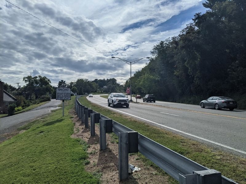
3. Carroll County Marker
Photographed by Mike Wintermantel, September 17, 2021
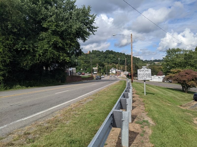
4. Grayson County Marker
Credits. This page was last revised on April 29, 2026. It was originally submitted on September 18, 2021, by Mike Wintermantel of Pittsburgh, Pennsylvania. This page has been viewed 617 times since then and 42 times this year. Photos: 1, 2, 3, 4. submitted on September 18, 2021, by Mike Wintermantel of Pittsburgh, Pennsylvania.
