Sioux Falls in Minnehaha County, South Dakota — The American Midwest (Upper Plains)
Soo Skyways Airport
Foremost among the local flying adventurers was Lt. Harold W. Tennant. In addition to performing at scores of air shows, he played a leading role in advancing aviation in this area. During this barnstorming era, Congress enacted the Air Mail Act of 1925. Realizing the potential impact of being located on an airmail route, community leaders formed the Sioux Falls Airport Holding Company. It purchased farm land located south of 41st Street which it leased to the city for an airport.
To operate the airport, the city contracted with Soo Skyways Airport Company which was formed by a group of local businessmen that included Rush A. Brown, C.H. Peck, John Morrell Foster, and Knapp Brown. Three grass runways soon traversed Soo Skyways Airport. Two runways made a large "X" between Western and Kiwanis Avenues, and a third east-west runway was situated near present 49th Street.
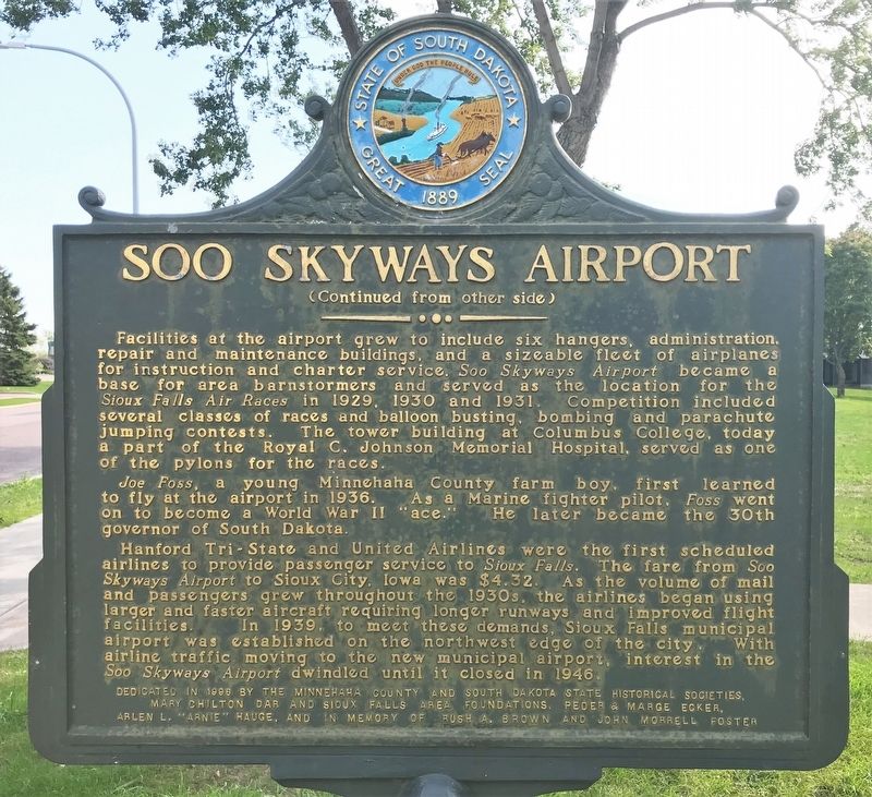
Facilities at the airport grew to include six hangers, administration, repair and maintenance buildings, and a sizeable fleet of airplanes for instruction and charter service. Soo Skyways Airport became a base for area barnstormers and served as the location for the Sioux Falls Air Races in 1929, 1930 and 1931. Competition included several classes of races and balloon busting, bombing and parachute jumping contests. The tower building at Columbus College, today a part of the Royal C. Johnson Memorial Hospital, served as one of the pylons for the races.
Joe Foss, a young Minnehaha County farm boy, first learned to fly at the airport in 1936. As a Marine fighter pilot, Foss went on to become a World War II "ace." He later became the 30th governor of South Dakota.
Hanford Tri-State and United Airlines were the first scheduled airlines to provide passenger service to Sioux Falls. The fare from Soo Skyways Airport to Sioux City, Iowa was $4.32. As the volume of mail and passengers grew throughout the 1930s, the airlines began using larger and faster aircraft requiring longer runways and improved flight facilities. In 1939, to meet these demands, Sioux Falls municipal airport was established on the northwest edge of the city. With airline traffic moving to the new municipal airport, interest in the Soo Skyways Airport dwindled until it closed in 1946.
Erected 1996 by the Minnehaha County and South Dakota State Historical Societies, Mary Chilton DAR and Sioux Falls Area Foundations, Peder & Marge Ecker, Arlen L. “Arnie” Hauge, and in memory of Rush A. Brown and John Morrell Foster. (Marker Number 668.)
Topics and series. This historical marker is listed in this topic list: Air & Space. In addition, it is included in the Daughters of the American Revolution, and the South Dakota State Historical Society Markers series lists. A significant historical month for this entry is June 1912.
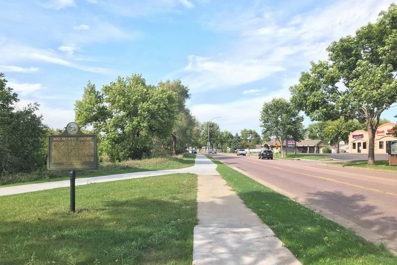
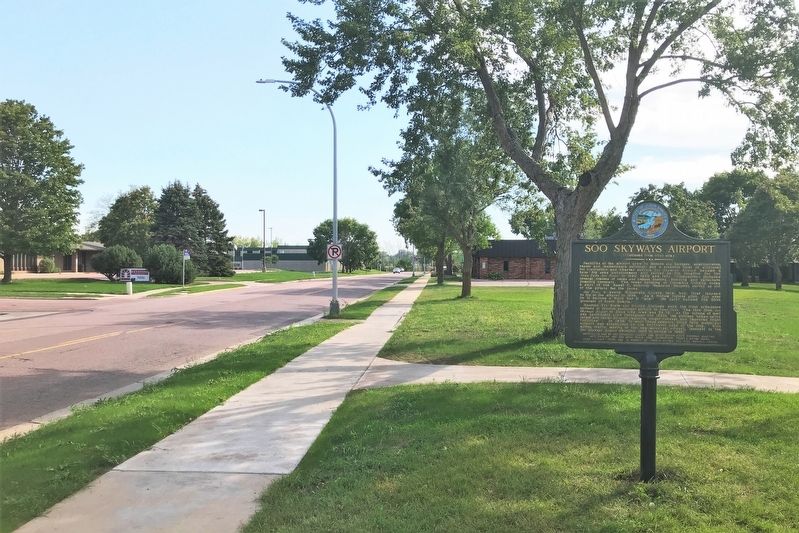
Location. 43° 30.647′ N, 96° 45.492′ W. Marker is in Sioux Falls, South Dakota, in Minnehaha County. Marker is on South Kiwanis Avenue north of West 46th Street, on the left when traveling north. Touch for map. Marker is at or near this postal address: 3710 S Kiwanis Ave, Sioux Falls SD 57105, United States of America. Touch for directions.
Other nearby markers. At least 8 other markers are within walking distance of this marker. Sertoma Park (approx. 0.3 miles away); Abraham Lincoln (approx. 0.3 miles away); Ronald Reagan (approx. 0.4 miles away); James Brothers (approx. half a mile away); South Dakota Achieve (approx. 0.6 miles away); Yankton Trail Bridge (approx. ¾ mile away); The Great Bend (approx. ¾ mile away); Wallner Gardens (approx. 0.9 miles away). Touch for a list and map of all markers in Sioux Falls.
Credits. This page was last revised on September 22, 2021. It was originally submitted on September 20, 2021. This page has been viewed 958 times since then and 126 times this year. Photos: 1, 2, 3, 4. submitted on September 20, 2021. • Mark Hilton was the editor who published this page.


