Old Saybrook Center in Middlesex County, Connecticut — The American Northeast (New England)
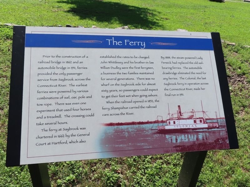
The Ferry
Prior to the construction of a railroad bridge in 1862 and an automobile bridge in 1911, ferries provided the only passenger service from Saybrook across the Connecticut River. The earliest ferries were powered by various combinations of sail, oar, pole and tow rope. The crossing could take several hours.
The ferry at Saybrook was chartered in 1662 by the General Court at Hartford, which also established the rates to be charged. John Whittlesey and his brother-in-law William Dudley were the first ferrymen, a business the two families maintained for several generations. There was no wharf on the Saybrook side for almost sixty years, so passengers could expect to get their feet wet when going ashore.
When the railroad opened in 1852, the ferry Shampishue carried the railroad the River. By 1888, the steam-powered Lady Fenwick had replaced the old sail- bearing ferries. The automobile drawbridge eliminated the need for any ferries. The Colonial, the last Saybrook ferry in operation across the Connecticut River, made her final run in 1911.
Topics. This historical marker is listed in this topic list: Waterways & Vessels. A significant historical year for this entry is 1862.
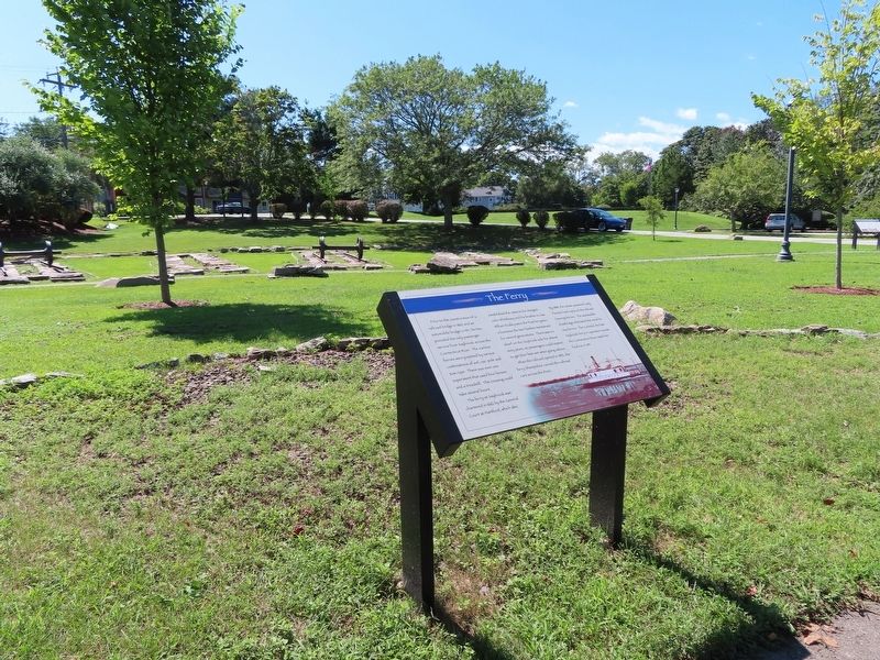
Location. 41° 17.071′ N, 72° 21.058′ W. Marker is in Old Saybrook, Connecticut, in Middlesex County. It is in Old Saybrook Center. Marker can be reached from College Street (Connecticut Route 154) east of Fenwick Street, on the left when traveling east. Located in Fort Saybrook Monument Park. Touch for map. Marker is in this post office area: Old Saybrook CT 06475, United States of America. Touch for directions.
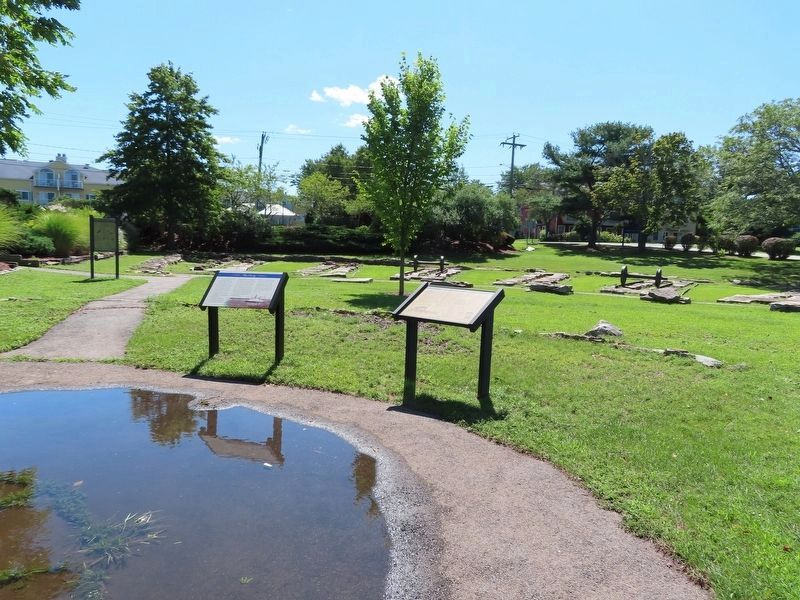
Other nearby markers. At least 8 other markers are within walking distance of this marker. Lighthouses and River Pilots (here, next to this marker); Welcome to Fort Saybrook Monument Park (here, next to this marker); Connecticut Valley Railroad Roundhouse & Turntable Site (a few steps from this marker); The Connecticut Valley Railroad (within shouting distance of this marker); Welcome to Fort Saybrook (within shouting distance of this marker); The Saybrook Bar (within shouting distance of this marker); Fishing on the Connecticut (within shouting distance of this marker); Adriaen Block & New Netherland (within shouting distance of this marker). Touch for a list and map of all markers in Old Saybrook.
Credits. This page was last revised on February 10, 2023. It was originally submitted on September 22, 2021, by Michael Herrick of Southbury, Connecticut. This page has been viewed 150 times since then and 10 times this year. Photos: 1, 2, 3. submitted on September 22, 2021, by Michael Herrick of Southbury, Connecticut.


