Santa Fe in Santa Fe County, New Mexico — The American Mountains (Southwest)
1610
1610
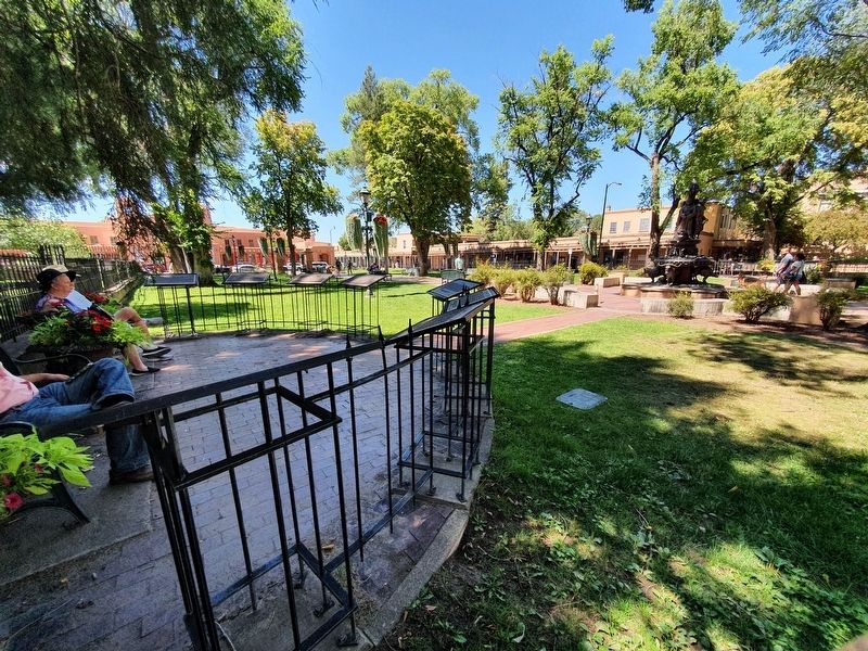
In 1610, construction of the Palace of the Governors began as a section of the Casas Reales de Palacio (royal houses). The Casas Reales, built around Santa Fe's plaza included the governor's living quarters, the jail, the town council and the parish church. The plaza was completely enclosed with watchtowers on the corners and featured some two story buildings. In time, the towers disappeared and the governor's residence lost its second floor. At the end of the 1600's a new presidio (fortress) was built, incorporating the old residence and extending two blocks north and two blocks west of the plaza. After Mexican independence in 1821, the Casas Reales/presidio was renamed el Palacio del Gobierno (Government Palace) that non-Spanish speakers mistranslated as Palace of the Governors. Today the Palace of the Governors is the oldest public building in the U.S. and is New Mexico's History Museum.
The Santa Fe New Mexican
Founded 1849
Topics. This historical marker is listed in this topic list: Colonial Era. A significant historical year for this entry is 1610.
Location. 35° 41.204′ N, 105° 56.168′ W. Marker is in Santa Fe, New Mexico, in Santa Fe County. Marker can be reached from East Palace Avenue east of Cathedral Place, on the right when traveling east. Touch for map. Marker is in this post office area: Santa Fe NM 87501, United States of America. Touch for directions.
Other nearby markers. At least 8 other markers are within walking distance of this marker. 1607 (here, next to this marker); 1620 (here, next to this marker); 1598 (a few steps from this marker); a different marker also named 1598 (a few steps from this marker); 1583 (a few steps from this marker); 1540 (a few steps from this marker); Santa Fe Cathedral Park and Monument (a few steps from this marker); 1827 (within shouting distance of this marker). Touch for a list and map of all markers in Santa Fe.
Credits. This page was last revised on September 22, 2021. It was originally submitted on September 22, 2021, by J. Makali Bruton of Accra, Ghana. This page has been viewed 96 times since then and 14 times this year. Photos: 1, 2. submitted on September 22, 2021, by J. Makali Bruton of Accra, Ghana.

