Saginaw in Saginaw County, Michigan — The American Midwest (Great Lakes)
Core Sample
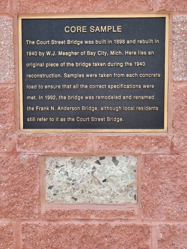
Photographed by Kevin W., June 6, 2024
1. Core Sample and Marker
Topics. This historical marker is listed in this topic list: Bridges & Viaducts. A significant historical year for this entry is 1898.
Location. 43° 25.038′ N, 83° 57.855′ W. Marker is in Saginaw, Michigan, in Saginaw County. It is at the intersection of Court Street and South Michigan Avenue, on the right when traveling east on Court Street. Touch for map. Marker is at or near this postal address: 100 S Michigan Ave, Saginaw MI 48602, United States of America. Touch for directions.

Regionally, this marker is in Mid-Michigan. It is also in the American Midwest. Globally, it is in North America, the Western Hemisphere, the Western World, and the Anglosphere. Historically, it finds itself in what was
this page online
Other nearby markers. At least 8 other markers are within walking distance of this marker: Saginaw County Veterans Memorial (within shouting distance of this marker); Saginaw Valley Lumbering Era (within shouting distance of this marker); Fred J. Borchard Park (within shouting distance of this marker); Treaty of Saginaw (within shouting distance of this marker); Carl Cardwell Poston, Jr. (within shouting distance of this marker); Wartburg College (about 300 feet away, measured in a direct line); Veterans Memorial (about 300 feet away); A Memorial to Christopher Columbus (about 300 feet away). Touch for a list and map of all markers in Saginaw.
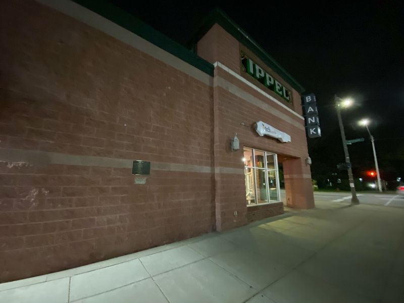
Photographed by J.T. Lambrou, September 21, 2021
2. Core Sample Marker
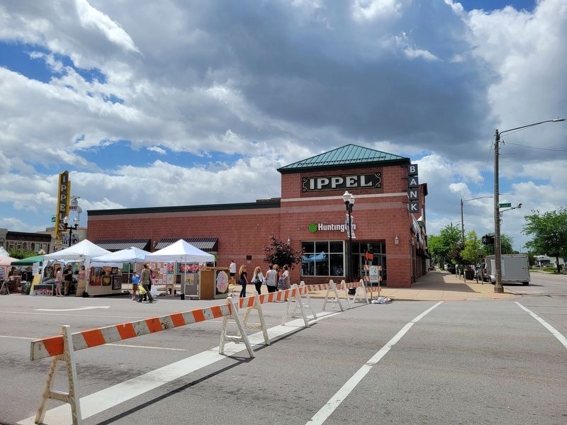
Photographed by Kevin W., June 6, 2024
3. Core Sample Marker
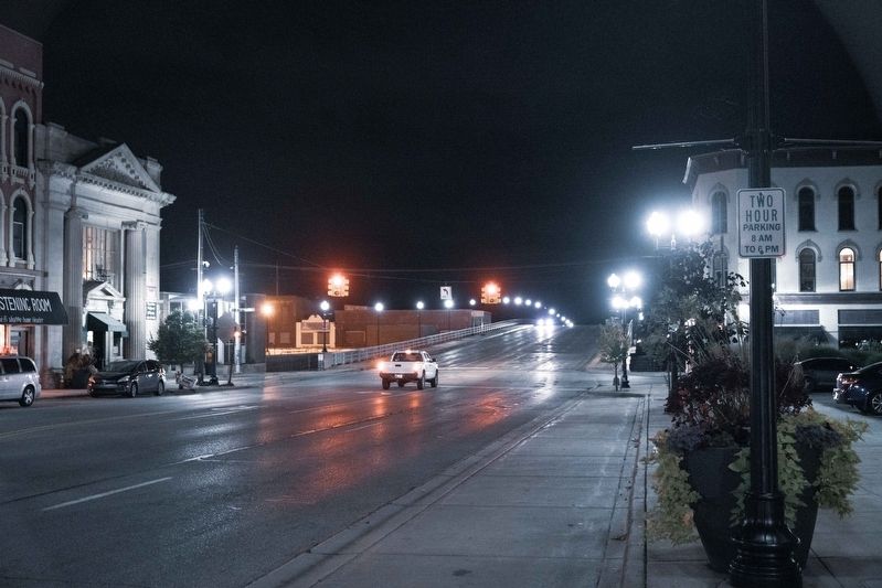
Photographed by J.T. Lambrou, September 21, 2021
4. Court Street Bridge
View looking east from the marker at the bridge
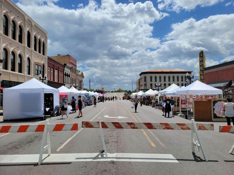
Photographed by Kevin W., June 6, 2024
5. Court Street Bridge
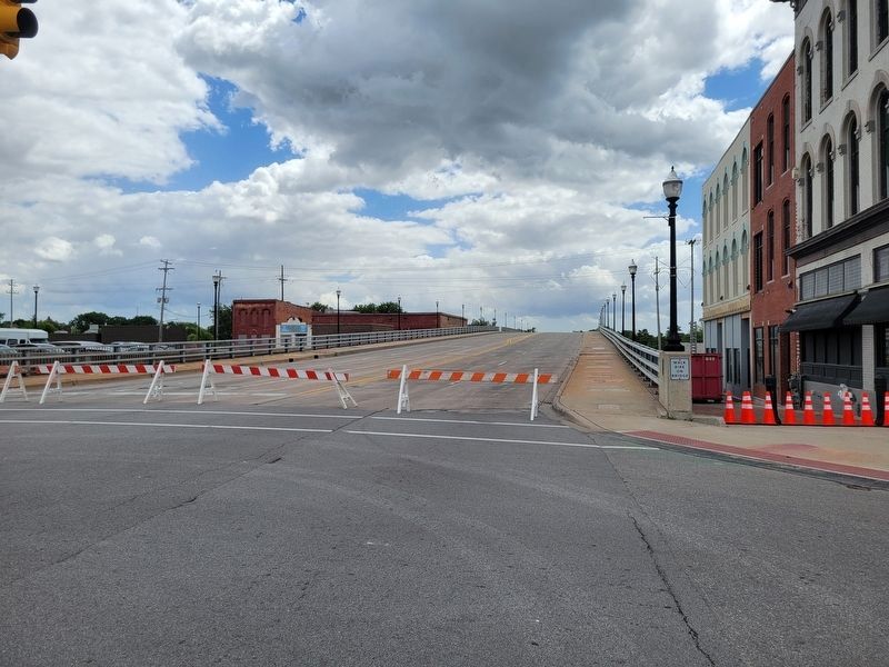
Photographed by Kevin W., June 6, 2024
6. Court Street Bridge
Credits. This page was last revised on June 6, 2024. It was originally submitted on September 22, 2021, by J.T. Lambrou of New Boston, Michigan. This page has been viewed 704 times since then and 49 times this year. Photos: 1. submitted on June 6, 2024, by Kevin W. of Stafford, Virginia. 2. submitted on September 22, 2021, by J.T. Lambrou of New Boston, Michigan. 3. submitted on June 6, 2024, by Kevin W. of Stafford, Virginia. 4. submitted on September 22, 2021, by J.T. Lambrou of New Boston, Michigan. 5, 6. submitted on June 6, 2024, by Kevin W. of Stafford, Virginia. • Mark Hilton was the editor who published this page.
