San Joaquín, Querétaro, Mexico — The Central Highlands (North America)
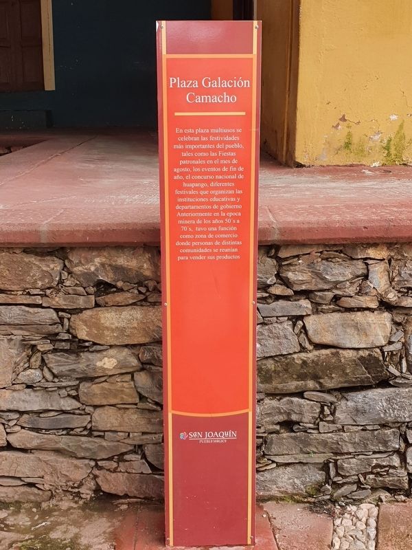
Plaza Galación Camacho
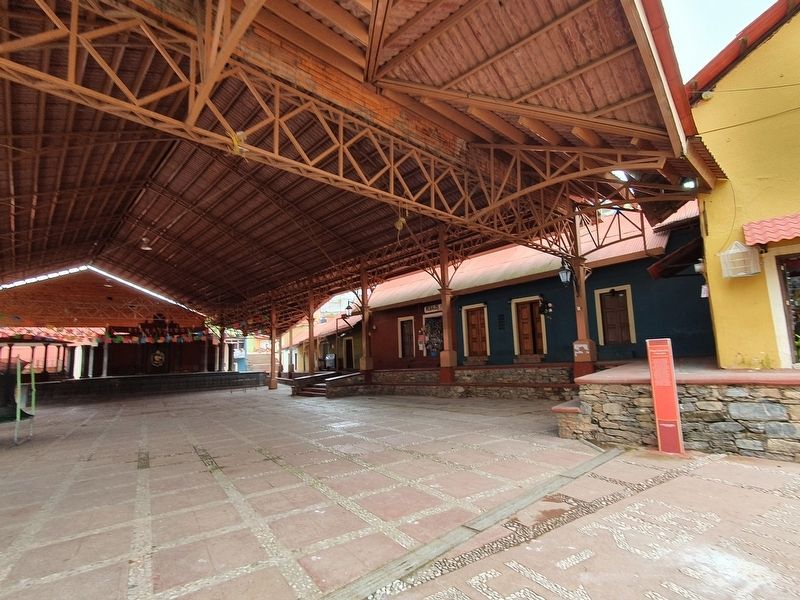
En esta plaza multiusos se celebran las festividades más importantes del pueblo, tales como las Fiestas patronales en el mes de agosto, los eventos de fin de año, el concurso nacional de huapango, diferentes festivales que organizan las instituciones educativas y departamentos de gobierno
Anteriormente en la epoca minera de los años 50's a 70's, tuvo una función como zona de comercio donde personas de distintas comunidades se reunían para vender sus productos
Plaza Galación Camacho
In this multipurpose square the most important festivities of the town are celebrated, such as the Patron Saint Festivities in the month of August, the end of the year events, the National Huapango Contest and different festivals organized by educational institutions and government departments.
Previously in the mining era of the 50's to 70's, it functioned as a commercial area where people from different communities met to sell their products.
Topics. This historical marker is listed in these topic lists: Entertainment • Industry & Commerce • Parks & Recreational Areas.
Location. 20° 54.938′ N, 99° 33.975′ W. Marker is in San Joaquín, Querétaro. Marker is on Morelos just south of 16 de Septiembre, on the left when traveling south. Touch for map. Marker is at or near this postal address: Morelos 263, San Joaquín QUE 76550, Mexico. Touch for directions.
Other nearby markers. At least 8 other markers are within walking distance of this marker. Emiliano Zapata (about 90 meters away, measured in a direct line); The Round Stone Monument (about 210 meters away); Historic Tree (approx. 0.4 kilometers away); Observation Post "La Crucita" (approx. half a kilometer away); Monument to the Miner (approx. 0.9 kilometers away); Las Ranas and the Access Complex (approx. 1.1 kilometers away); Ball Court Three (approx. 1.2 kilometers away); Building Three (approx. 1.2 kilometers away). Touch for a list and map of all markers in San Joaquín.
Credits. This page was last revised on September 23, 2021. It was originally submitted on September 23, 2021, by J. Makali Bruton of Accra, Ghana. This page has been viewed 106 times since then and 20 times this year. Photos: 1, 2. submitted on September 23, 2021, by J. Makali Bruton of Accra, Ghana.

