Bloomingville in Erie County, Ohio — The American Midwest (Great Lakes)
Bloomingville Settlement
1810
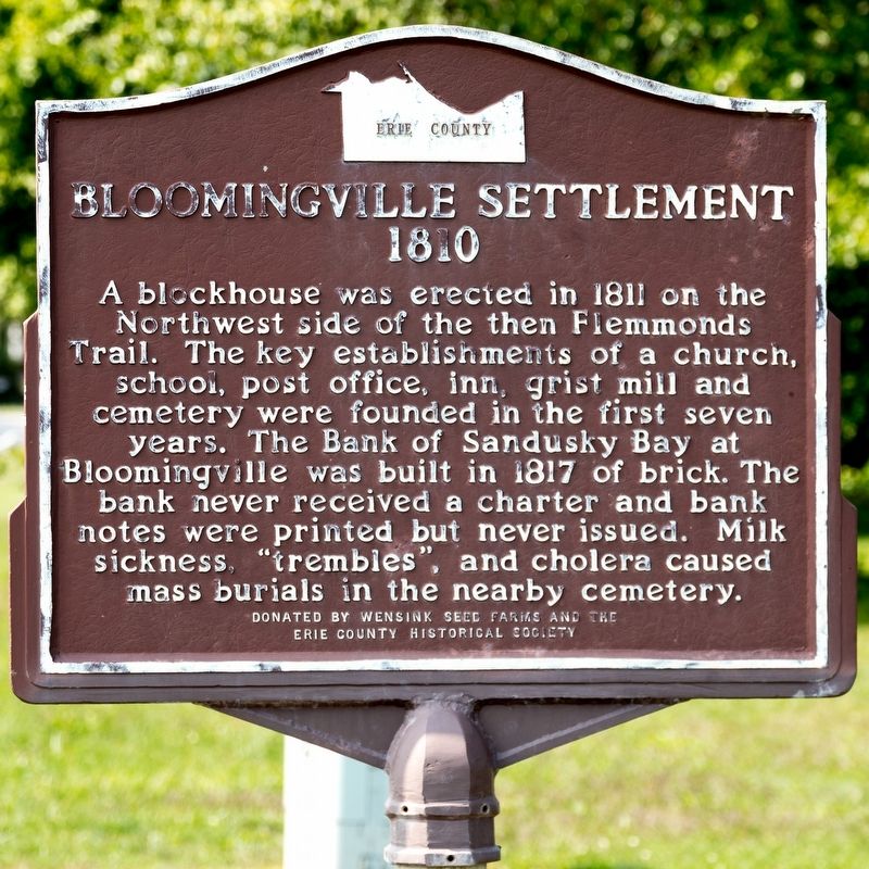
Photographed by J. J. Prats, September 12, 2021
1. Bloomingville Settlement Marker
Erected by Wensink Seed Farms and the Erie County Historical Society.
Topics. This historical marker is listed in this topic list: Settlements & Settlers. A significant historical year for this entry is 1810.
Location. 41° 21.31′ N, 82° 43.399′ W. Marker is in Bloomingville, Ohio, in Erie County. It is on West Mason Road just east of Taylor Road (County Route 112), on the left when traveling east. It is at Bloomingville Cemetery. Touch for map. Marker is in this post office area: Sandusky OH 44870, United States of America. Touch for directions.

Regionally, this marker is on the Lake Erie Shore and in the Western Reserve. It is also in the American Midwest and in the Corn Belt.
this page online
Other nearby markers. At least 8 other markers are within 5 miles of this marker, measured as the crow flies: Veterans Pavilion (approx. 4.7 miles away); Ohio Veterans Home (approx. 4.7 miles away); Ohio Soldiers' and Sailors' Home Civil War Memorial (approx. 4.7 miles away); Veterans Memorial (approx. 4.7 miles away); World War II Veterans Memorial (approx. 4.8 miles away); a different marker also named Ohio Veterans Home (approx. 4.8 miles away); Old Perkins Cemetery (approx. 4.8 miles away); a different marker also named Ohio Veterans Home (approx. 4.8 miles away).
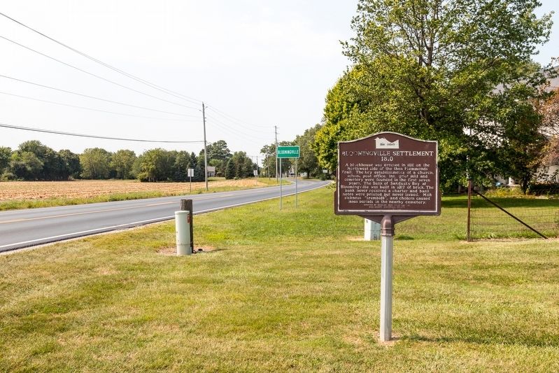
Photographed by J. J. Prats, September 12, 2021
2. Bloomingville Settlement Marker
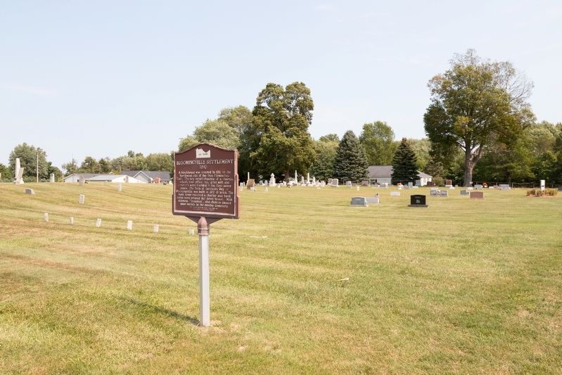
Photographed by J. J. Prats, September 12, 2021
3. Bloomingville Cemetery and Marker
Credits. This page was last revised on September 26, 2021. It was originally submitted on September 26, 2021, by J. J. Prats of Powell, Ohio. This page has been viewed 473 times since then and 42 times this year. Photos: 1, 2, 3. submitted on September 26, 2021, by J. J. Prats of Powell, Ohio.
