McGaheysville in Rockingham County, Virginia — The American South (Mid-Atlantic)
McGaheysville Store
Photographed by Cosmos Mariner, September 24, 2021
1. McGaheysville Store Marker
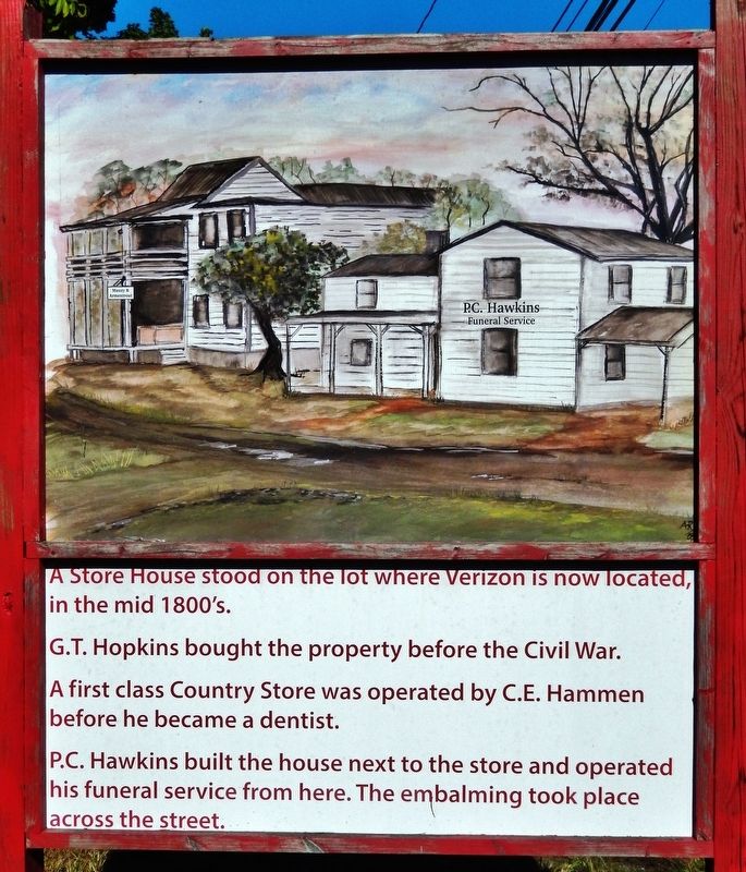
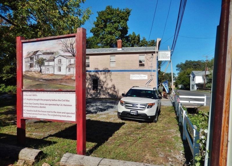
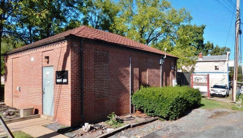
A Store House stood on the lot where Verizon is now located, in the mid 1800's.
G.T. Hopkins bought the property before the Civil War.
A first class Country Store was operated by C.E. Hammen before he became a dentist.
P.C. Hawkins built the house next to the store and operated his funeral service from here. The embalming took place across the street.
Topics. This historical marker is listed in these topic lists: Industry & Commerce • Settlements & Settlers.
Location. 38° 22.265′ N, 78° 43.994′ W. Marker is in McGaheysville, Virginia, in Rockingham County. It is at the intersection of McGaheysville Road (Virginia Route 996) and Jacob Burner Drive ( Route 991), on the left when traveling east on McGaheysville Road. Touch for map. Marker is at or near this postal address: 9945 McGaheysville Road, Mc Gaheysville VA 22840, United States of America. Touch for directions.

Regionally, this marker is in Virginia’s Shenandoah Valley. It is also in the American South and specifically in the Upper South. Globally, it is in North America, the Western Hemisphere,
this page online
Other nearby markers. At least 8 other markers are within 5 miles of this marker, measured as the crow flies: Peaked Mountain Church (within shouting distance of this marker); Revolutionary War Patriots Monument (about 300 feet away, measured in a direct line); McGaheysville War Memorial (about 400 feet away); a different marker also named Battle of Cross Keys (approx. 4.4 miles away); The Battle Dies Out (approx. 4.7 miles away); Walker's Flank Attack (approx. 4.7 miles away); The Attack on Buell's Battery (approx. 4.8 miles away); Kyles Mill House (approx. 5.1 miles away). Touch for a list and map of all markers in McGaheysville.
Other markers no longer nearby. Battle of Cross Keys (was approx. 4.4 miles away but has been replaced with another marker now near it); a different marker also named Battle of Cross Keys (was approx. 4.7 miles away but has been replaced with another marker
Photographed by Cosmos Mariner, September 24, 2021
2. McGaheysville Store Marker
Photographed by Cosmos Mariner, September 24, 2021
3. Verizon Telephone Exchange Building
Photographed by Cosmos Mariner, September 24, 2021
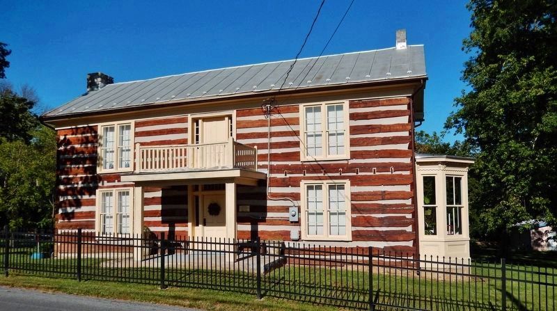
4. C. E. Hammen Building (west elevation)
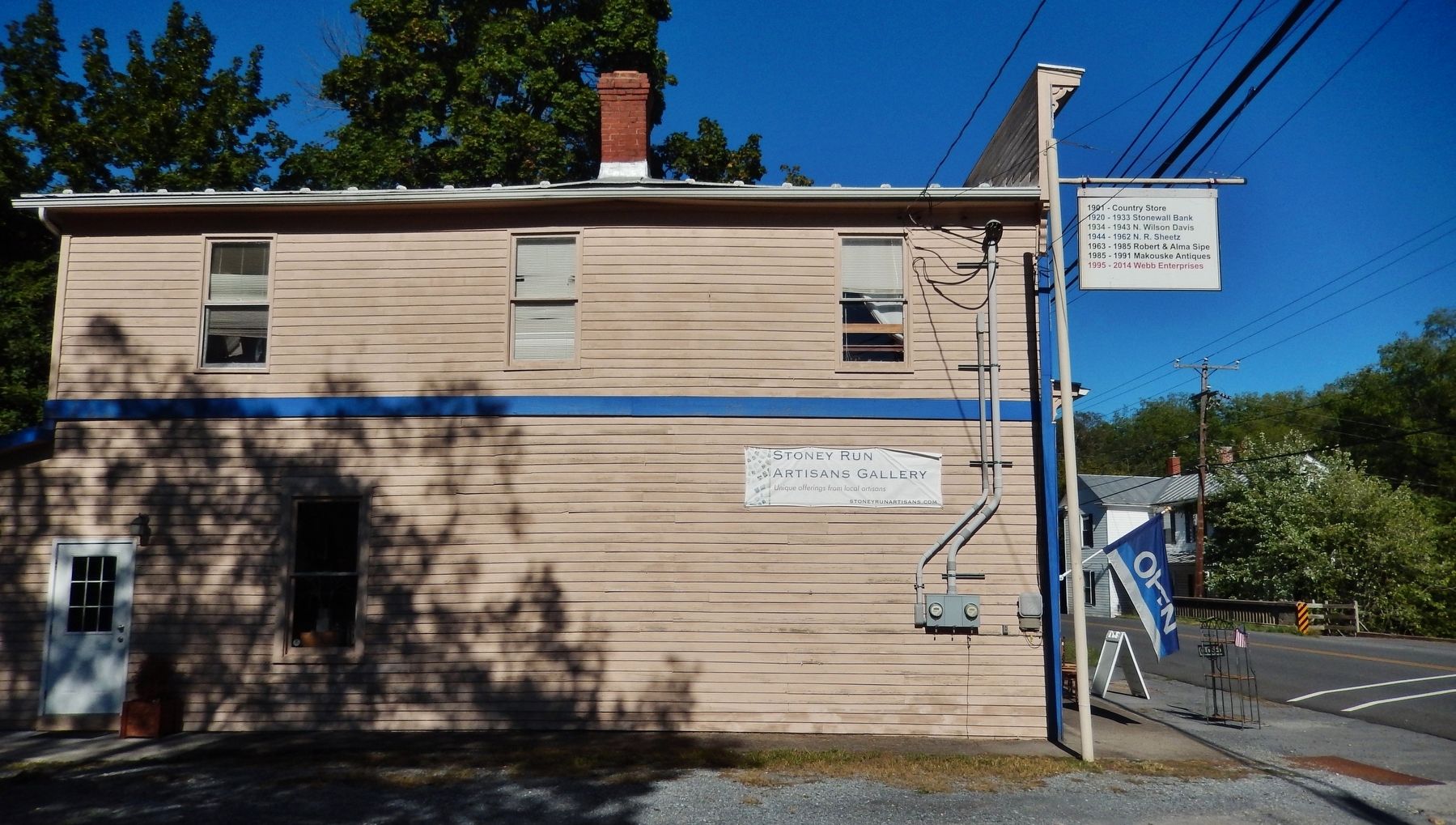
Photographed by Cosmos Mariner, September 24, 2021
5. Country Store/Stonewall Bank Building (west elevation)
1920-1933 • Stonewall Bank
1934-1943 • N. Wilson Davis
1944-1962 • N. R. Sheetz
1963-1985 • Robert & Alma Sipe
1985-1991 • Makouske Antiques
1995-2014 • Webb Enterprises
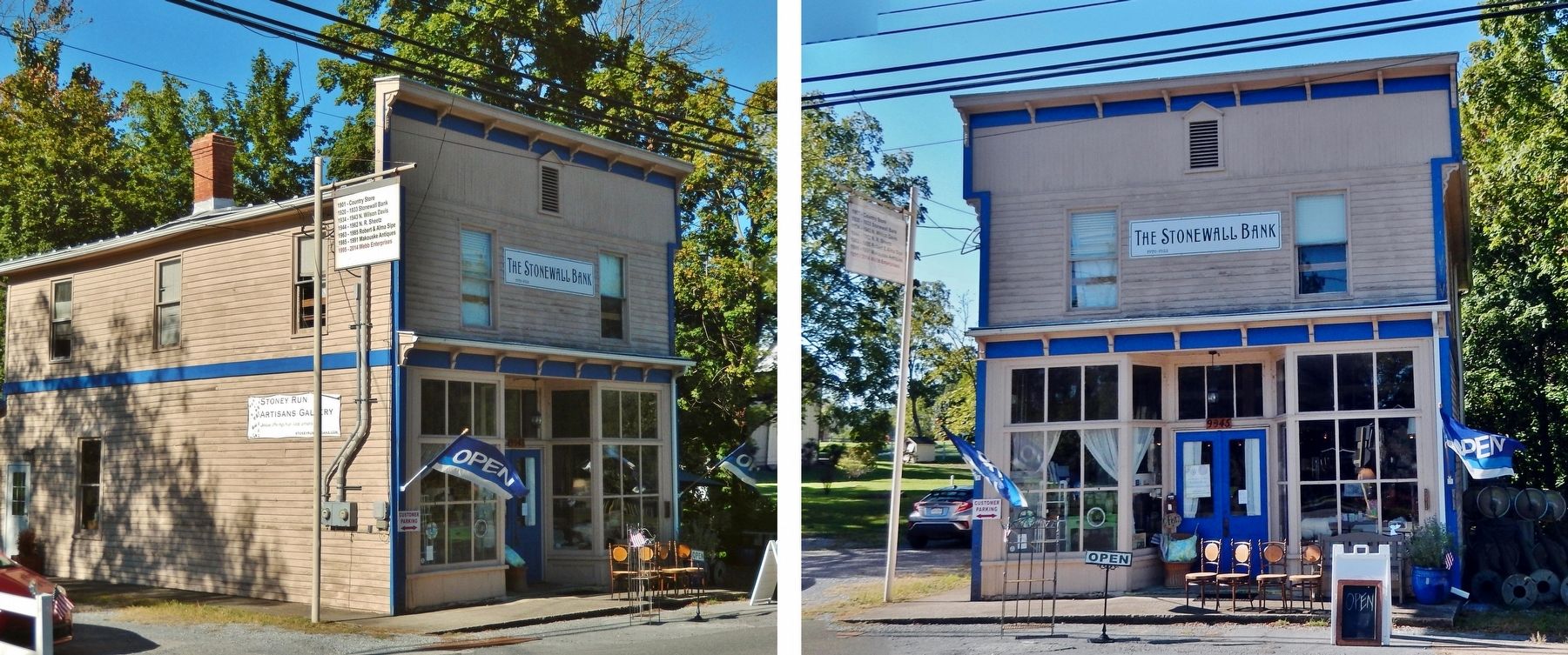
Photographed by Cosmos Mariner, September 24, 2021
6. Country Store/Stonewall Bank Building
Credits. This page was last revised on September 27, 2021. It was originally submitted on September 26, 2021, by Cosmos Mariner of Cape Canaveral, Florida. This page has been viewed 1,166 times since then and 44 times this year. Photos: 1, 2. submitted on September 26, 2021, by Cosmos Mariner of Cape Canaveral, Florida. 3, 4, 5, 6. submitted on September 27, 2021, by Cosmos Mariner of Cape Canaveral, Florida.
