Mount Vernon in Fairfax County, Virginia — The American South (Mid-Atlantic)
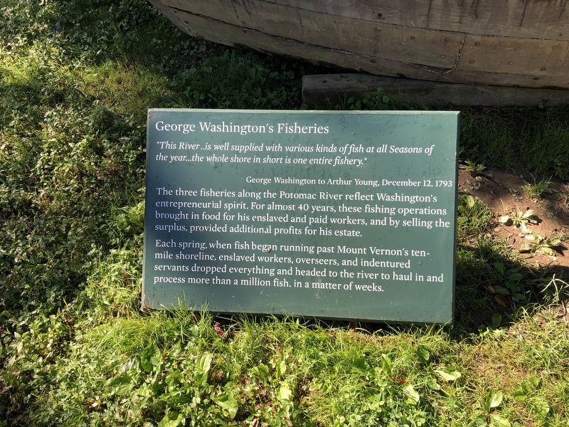
George Washington's Fisheries

Photographed By Devry Becker Jones (CC0), September 25, 2021
1. George Washington's Fisheries Marker
"This River..is well supplied with various kinds of fish at all Seasons of the year…the whole shore in short is one entire fishery."
George Washington to Arthur Young, December 12, 1793
The three fisheries along the Potomac River reflect Washington's entrepreneurial spirit. For almost 40 years, these fishing operations brought in food for his enslaved and paid workers, and by selling the surplus, provided additional profits for his estate.
Each spring, when fish began running past Mount Vernon's ten-mile shoreline, enslaved workers, overseers, and indentured servants dropped everything and headed to the river to haul in and process more than a million fish, in a matter of weeks.
Topics and series. This historical marker is listed in these topic lists: African Americans • Animals • Waterways & Vessels. In addition, it is included in the Former U.S. Presidents: #01 George Washington series list. A significant historical date for this entry is December 12, 1793.
Location. 38° 42.295′ N, 77° 5.372′ W. Marker is in Mount Vernon, Virginia, in Fairfax County. Marker can be reached from the intersection of George Washington Memorial Parkway and Mount Vernon Highway (Virginia Route 235), on the right when traveling east. Touch for map. Marker is in this post office area: Alexandria VA 22309, United States of America. Touch for directions.
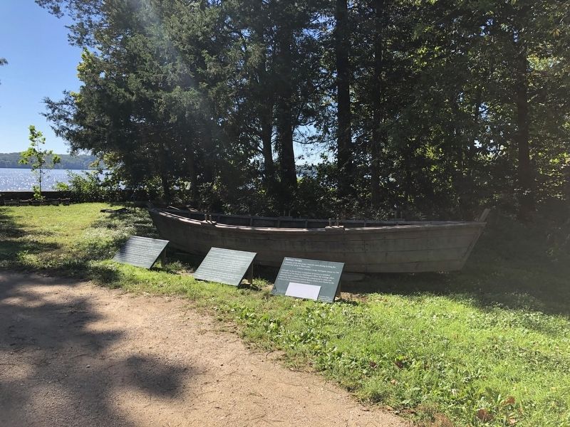
Other nearby markers. At least 8 other markers are within walking distance of this marker. Batteau Construction Project (here, next to this marker); Batteau Design (here, next to this marker); Punt (a few steps from this marker); Sundries Field (within shouting distance of this marker); Visionary Farmer (within shouting distance of this marker); The Potomac Watershed (about 400 feet away, measured in a direct line); Preserving the Viewshed (about 400 feet away); Commerce and Transportation (about 400 feet away). Touch for a list and map of all markers in Mount Vernon.

Photographed By Devry Becker Jones (CC0), September 25, 2021
2. George Washington's Fisheries Marker
Credits. This page was last revised on September 27, 2021. It was originally submitted on September 27, 2021, by Devry Becker Jones of Washington, District of Columbia. This page has been viewed 337 times since then and 78 times this year. Photos: 1, 2. submitted on September 27, 2021, by Devry Becker Jones of Washington, District of Columbia.