Mount Vernon near Alexandria in Fairfax County, Virginia — The American South (Mid-Atlantic)
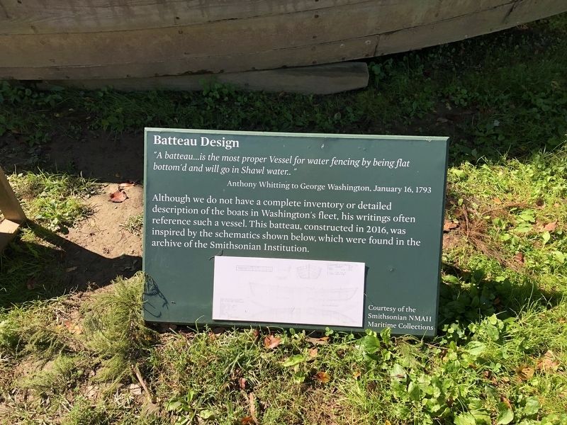
Batteau Design
"A batteau…is the most proper Vessel for water fencing by being flat bottom'd and will go in Shawl water.."
Anthony Whitting to George Washington, January 16, 1793
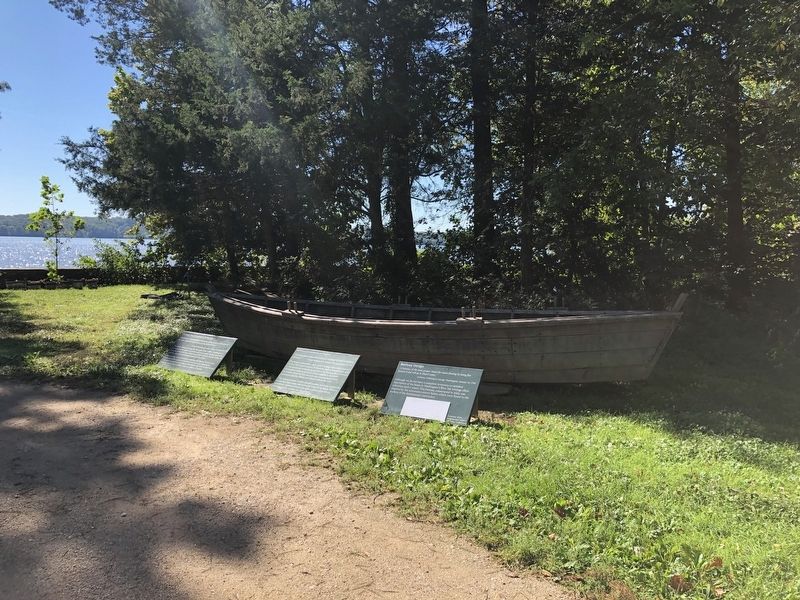
Although we do not have a complete inventory or detailed description of the boats in Washington's fleet, his writings often reference such a vessel. This batteau, constructed in 2016, was inspired by the schematics shown below, which were found in the archive of the Smithsonian Institution.
Topics and series. This historical marker is listed in this topic list: Waterways & Vessels. In addition, it is included in the Former U.S. Presidents: #01 George Washington series list. A significant historical date for this entry is January 16, 1793.
Location. 38° 42.297′ N, 77° 5.374′ W. Marker is near Alexandria, Virginia, in Fairfax County. It is in Mount Vernon. Marker can be reached from the intersection of George Washington Memorial Parkway and Mount Vernon Highway (Virginia Route 235), on the right when traveling east. Touch for map. Marker is in this post office area: Alexandria VA 22309, United States of America. Touch for directions.
Other nearby markers. At least 8 other markers are within walking distance of this marker. George Washington's Fisheries (here, next to this marker); Batteau Construction Project (here, next to this marker); Punt (a few steps from this marker); Sundries Field (within shouting distance of this marker); Visionary Farmer (within shouting distance of this marker); The Potomac Watershed (about 400 feet away, measured in a direct line); Preserving the Viewshed (about 400 feet away); Slavery at Mount Vernon (about 400 feet away). Touch for a list and map of all markers in Alexandria.
Credits. This page was last revised on January 27, 2023. It was originally submitted on September 27, 2021, by Devry Becker Jones of Washington, District of Columbia. This page has been viewed 125 times since then and 16 times this year. Photos: 1, 2. submitted on September 27, 2021, by Devry Becker Jones of Washington, District of Columbia.

