Brownsburg in Rockbridge County, Virginia — The American South (Mid-Atlantic)
Brownsburg
Target of Hunter's Raid
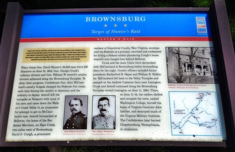
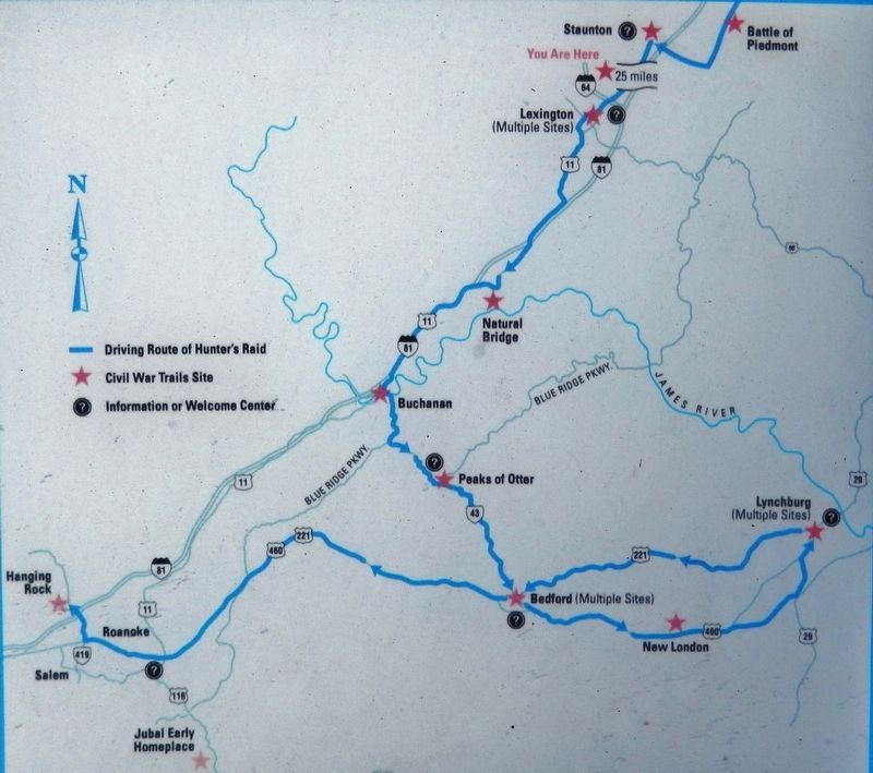
On May 26, 1864, Union Gen. David Hunter marched south from Cedar Creek near Winchester to drive out Confederate forces, lay waste to the Shenandoah Valley, and destroy the railroads at Lynchburg. His raid was part of Gen. Ulysses S. Grant's strategy to attack Confederates simultaneously throughout Virginia. After defeating Gen. William E. "Grumble" Jones at Piedmont on June 5, Hunter marched to Lexington, burned Virginia Military Institute, and headed to Lynchburg. There, on June 17-18, Gen. Jubal A. Early repulsed Hunter and pursued him to West Virginia. Early then turned north in July to threaten Washington.
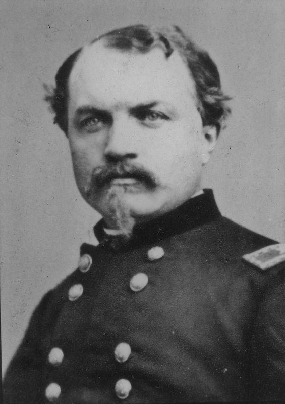
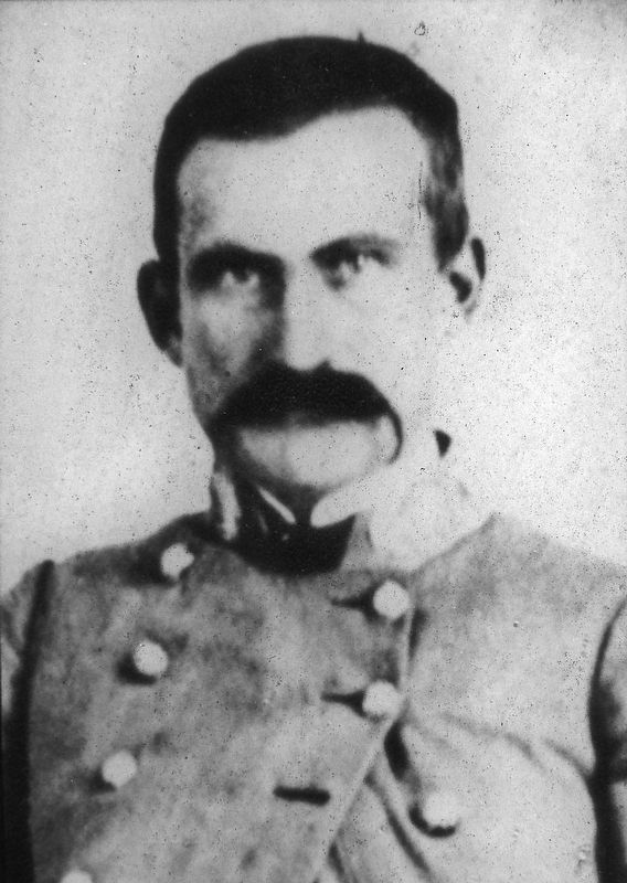
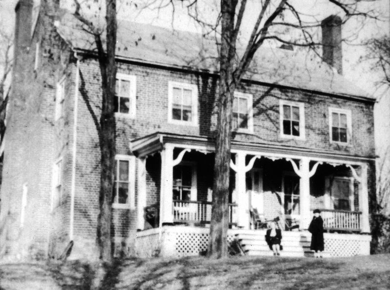
When Union Gen. David Hunter's 18,000-man force left Staunton on June 10, 1864, Gen. George Crook's infantry division and Gen. William W. Averell's cavalry division advanced along the Brownsburg Turnpike. To delay their progress, Confederate Gen. John McCausland's cavalry brigade charged the Federals five times, each time forcing the cavalry to dismount and the infantry to deploy. Averell left the turnpike at Newport with most of his men and came down the Walker's Creek Valley in an unsuccessful attempt to get in McCausland's rear. Averell bivouacked at Bellevue, the home of the Rev. James Morrison, on Hays Creek, two miles west of Brownsburg. David S. Creigh, a prominent resident of Greenbrier County, West Virginia, accompanied the Federals as a prisoner, convicted and condemned for killing a Federal soldier plundering Creigh's house. Averell's men hanged him behind Bellevue.
Crook and the main Union force skirmished with McCausland at Brownsburg before bivouacking there for the night. Crook's officers included future presidents Rutherford B. Hayes and William B. McKinley. McCausland fell back to the Valley Turnpike and camped on the Andrew Cameron farm near Lexington. Crook and Averell continued along the Brownsburg Turnpike toward Lexington on June 11, 1864. There, on June 11-14, the raiders shelled and occupied the town, sacked Washington College, burned the home of Virginia Governor John Letcher, and destroyed much of the Virginia Military Institute. The Confederates later burned Chambersburg, Pennsylvania, in retaliation.
Erected by Virginia Civil War Trails.
Topics and series. This historical marker is listed in this topic list: War, US Civil. In addition, it is included in the Former U.S. Presidents: #19 Rutherford B. Hayes, the Former U.S. Presidents: #25 William McKinley, and the Virginia Civil War Trails series lists. A significant historical date for this entry is June 10, 1864.
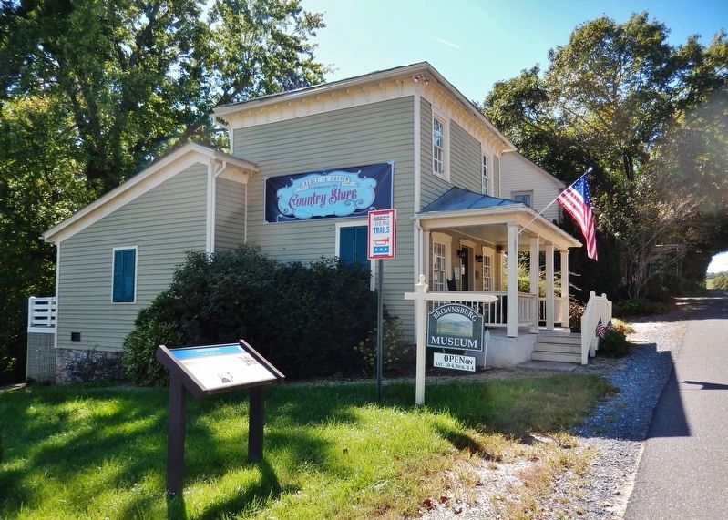
Location. 37° 55.712′ N, 79° 19.145′ W. Marker is in Brownsburg, Virginia, in Rockbridge County. Marker is at the intersection of Brownsburg Turnpike (Virginia Route 252) and Hays Creek Road (Virginia Route 724), on the left when traveling south on Brownsburg Turnpike. Marker is located beside the sidewalk on the north side of the Brownsburg Museum. Touch for map. Marker is at or near this postal address: 2716 Brownsburg Turnpike, Brownsburg VA 24415, United States of America. Touch for directions.
Other nearby markers. At least 8 other markers are within 6 miles of this marker, measured as the crow flies. A different marker also named Brownsburg (within shouting distance of this marker); New Providence Presbyterian Church (approx. 1.9 miles away); Cherry Grove Estate (approx. 3.9 miles away); Red House and the McDowell Family (approx. 4.2 miles away); Dr. Ephraim McDowell (approx. 4.2 miles away); McDowell's Grave (approx. 4.2 miles away); Pierre Daura (approx. 5.2 miles away); Cyrus H. McCormick (approx. 5.8 miles away).
Also see . . . Hunter's Raid (or the Lynchburg Campaign): May 26, 1864 to June 23, 1864. John's Military History website entry (Submitted on April 5, 2022, by Larry Gertner of New York, New York.)
Credits. This page was last revised on April 5, 2022. It was originally submitted on September 27, 2021, by Cosmos Mariner of Cape Canaveral, Florida. This page has been viewed 299 times since then and 44 times this year. Photos: 1. submitted on September 27, 2021, by Cosmos Mariner of Cape Canaveral, Florida. 2, 3, 4, 5, 6. submitted on September 28, 2021, by Cosmos Mariner of Cape Canaveral, Florida.
