Old Saybrook Center in Middlesex County, Connecticut — The American Northeast (New England)
The Connecticut River
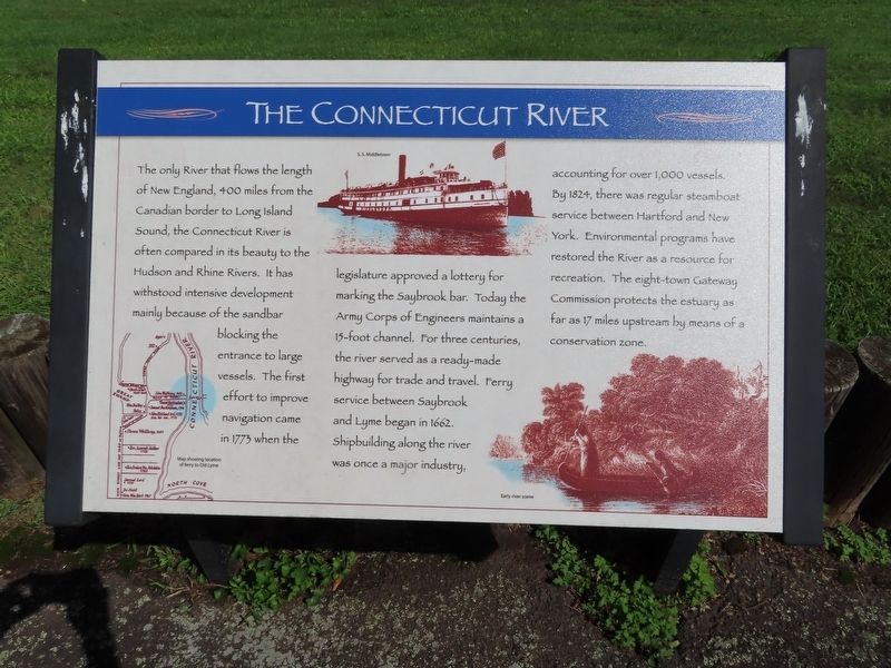
The only river that flows the length of New England, 400 miles from the Canadian border to Long Island Sound, the Connecticut River is often compared in its beauty to the Hudson and Rhine Rivers. It has withstood intensive development mainly because of the sandbar blocking the entrance to large vessels. The first effort to improve navigation came in 1773 when the legislature approved a lottery for marking the Saybrook bar. Today the Army Corps of Engineers maintains a 15-foot channel. For three centuries, the river served as a ready-made highway for trade and travel. Ferry service between Saybrook and Lyme began in 1662. Shipbuilding along the river was once a major industry, accounting for over 1,000 vessels. By 1824, there was regular steamboat service between Hartford and New York. Environmental programs have restored the River as a resource for recreation. The eight-town Gateway Commission protects the estuary as far as 17 miles upstream by means of a conservation zone.
( photo captions )
- Map showing location of ferry to Old Lyme.
- S.S. Middletown
- Early river scene.
Topics. This historical marker is listed in this topic list: Waterways & Vessels. A significant historical year for this entry is 1773.
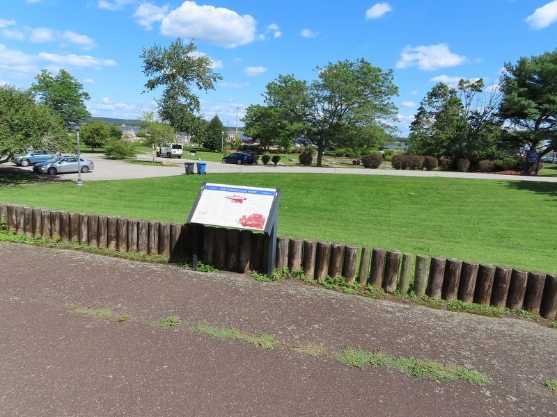
Location. 41° 17.057′ N, 72° 21.117′ W. Marker is in Old Saybrook, Connecticut, in Middlesex County. It is in Old Saybrook Center. Marker can be reached from College Street (Connecticut Route 154) east of Fenwick Street, on the left when traveling east. Located in Fort Saybrook Monument Park. Touch for map. Marker is in this post office area: Old Saybrook CT 06475, United States of America. Touch for directions.
Other nearby markers. At least 8 other markers are within walking distance of this marker. Winthrop and the Warwick Patent (a few steps from this marker); The Pequot War (a few steps from this marker); The Fenwicks (a few steps from this marker); Fort Saybrook – 1635 (within shouting distance of this marker); The Saybrook Bar (within shouting distance of this marker); Fishing on the Connecticut (within shouting distance of this marker); Welcome to Fort Saybrook (within shouting distance of this marker); Adriaen Block & New Netherland (within shouting distance of this marker). Touch for a list and map of all markers in Old Saybrook.
Also see . . . Connecticut River (Wikipedia). (Submitted on September 28, 2021, by Michael Herrick of Southbury, Connecticut.)
Credits. This page was last revised on February 10, 2023. It was originally submitted on September 28, 2021, by Michael Herrick of Southbury, Connecticut. This page has been viewed 230 times since then and 36 times this year. Photos: 1, 2. submitted on September 28, 2021, by Michael Herrick of Southbury, Connecticut.

