Rockford in Kent County, Michigan — The American Midwest (Great Lakes)
Grand Rapids and Indiana Railroad Culvert
Inscription.
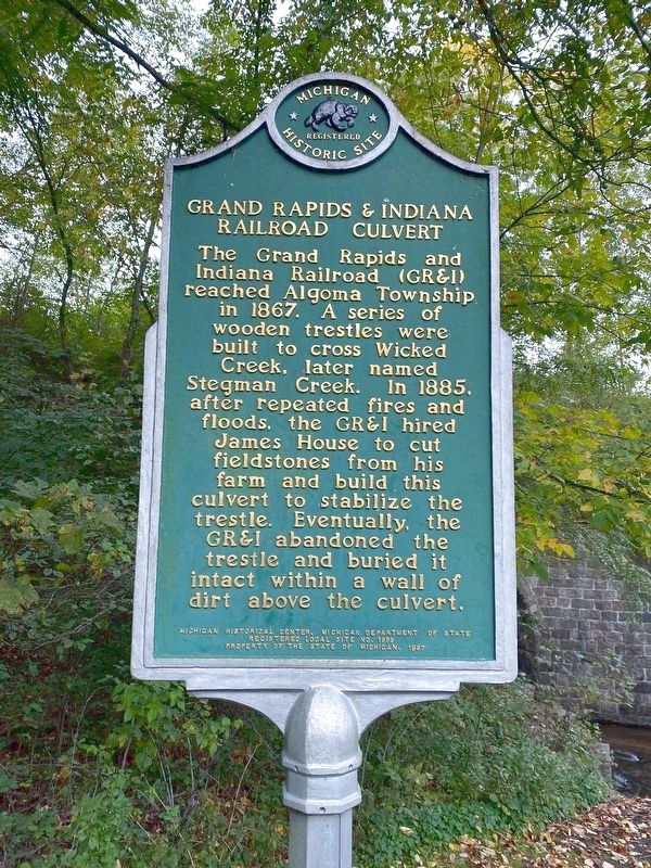
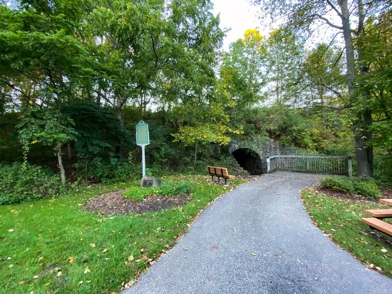
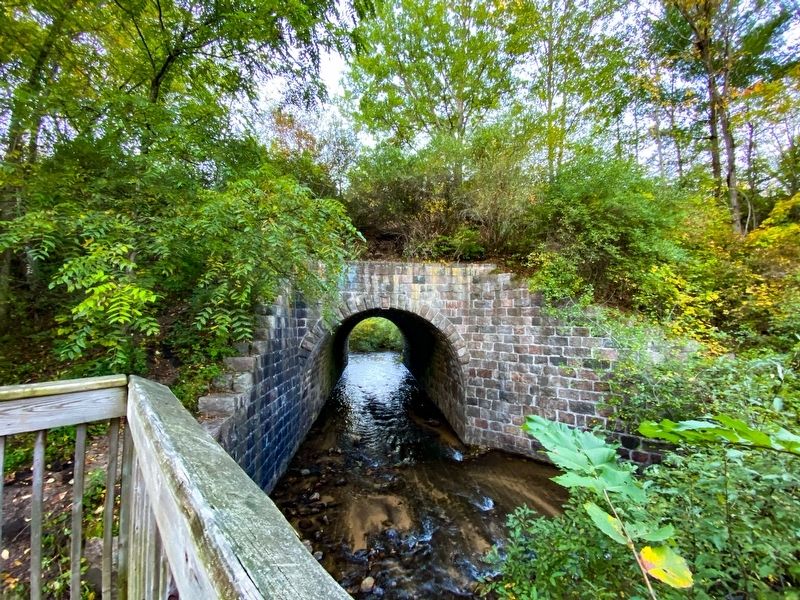
The Grand Rapids and Indiana Railroad (GR&I) reached Algoma Township in 1867. A series of wooden trestles were built to cross Wicked Creek, later named Stegman Creek. In 1885, after repeated fires and floods, the GR&I hired James House to cut fieldstones from his farm and build this culvert to stabilize the trestle. Eventually, the GR&I abandoned the trestle and buried it intact within a wall of dirt above the culvert.
Erected 1997 by Michigan Historical Center, Michigan Department of State. (Marker Number L1999.)
Topics and series. This historical marker is listed in these topic lists: Bridges & Viaducts • Railroads & Streetcars. In addition, it is included in the Michigan Historical Commission series list. A significant historical year for this entry is 1867.
Location. 43° 9.951′ N, 85° 33.98′ W. Marker is in Rockford, Michigan, in Kent County. Marker is at the intersection of Summit Avenue Northeast and Summit Court Northeast, on the right when traveling south on Summit Avenue Northeast. Touch for map. Marker is at or near this postal address: 11101 Summit Ave NW, Rockford MI 49341, United States of America. Touch for directions.
Other nearby markers. At least 8 other markers are within 12 miles of this marker, measured as the crow flies. Pine Island Drive Bridge (approx. 5.1 miles away); Toledo, Saginaw & Muskegon Railway Depot (approx. 7.1 miles away); William Hyser / Austerlitz Post Office (approx. 7.2 miles away); Plainfield Charter Township Veterans Memorial (approx. 7.2 miles away); Cannon Township Hall (approx. 9.2 miles away); Alpine Township Hall (approx. 10.4 miles away); Veterans' Cemetery (approx. 11.2 miles away); Old North Park Bridge (approx. 11.2 miles away).
Credits. This page was last revised on September 29, 2021. It was originally submitted on September 29, 2021, by J.T. Lambrou of New Boston, Michigan. This page has been viewed 185 times since then and 25 times this year. Photos: 1, 2, 3, 4. submitted on September 29, 2021, by J.T. Lambrou of New Boston, Michigan. • Mark Hilton was the editor who published this page.


