Gravesend in Brooklyn in Kings County, New York — The American Northeast (Mid-Atlantic)
McDonald Playground
3.485 acres
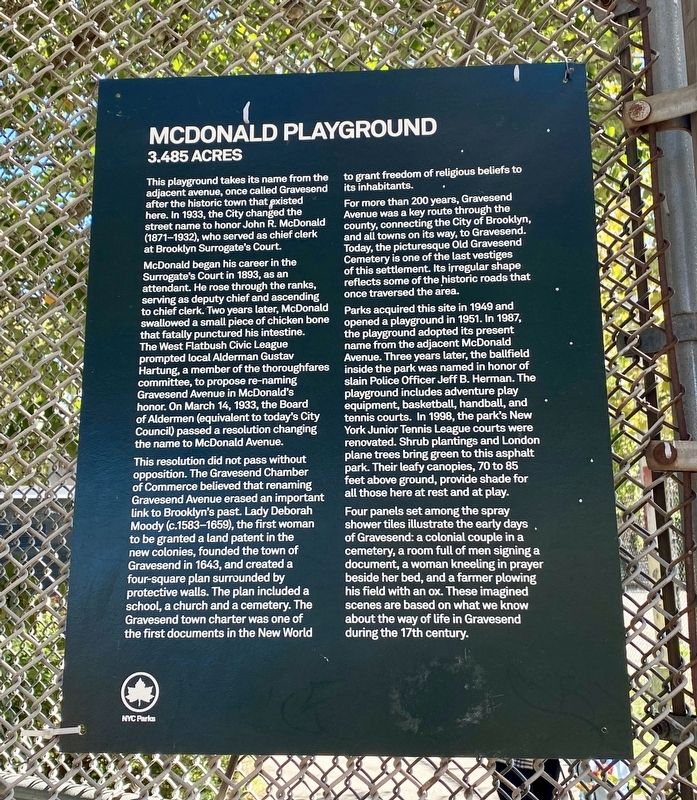
This playground takes its name from the adjacent avenue, once called Gravesend after the historic town that existed here. In 1933, the City changed the street name to honor John R. McDonald (1871-1932), who served as chief clerk at Brooklyn Surrogate's Court.
McDonald began his career in the Surrogate's Court in 1893, as an attendant. He rose through the ranks, serving as deputy chief and ascending to chief clerk. Two years later, McDonald swallowed a small piece of chicken bone that fatally punctured his intestine. The West Flatbush Civic League prompted local Alderman Gustav Hartung, a member of the thoroughfares committee, to propose re-naming Gravesend Avenue in McDonald's honor. On March 14, 1933, the Board of Aldermen (equivalent to today's City Council) passed a resolution changing the name to McDonald Avenue.
For more than 200 years, Gravesend Avenue was a key route through the county, connecting the City of Brooklyn, and all towns on its way, to Gravesend. Today, the picturesque Old Gravesend Cemetery is one of the last vestiges of this settlement. Its irregular shape reflects some of the historic roads that once traversed the area.
This resolution did not pass without opposition. The Gravesend Chamber of Commerce believed that renaming Gravesend Avenue erased an important link to Brooklyn's past. Lady Deborah Moody (c.1583–1659), the first woman to be granted a land patent in the new colonies, founded the town of Gravesend in 1643, and created a four-square plan surrounded by protective walls. The plan included a school, a church and a cemetery. The Gravesend town charter was one of the first documents in the New World to grant freedom of religious beliefs to its inhabitants.
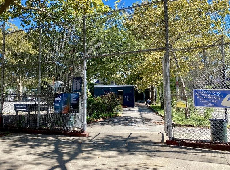
Parks acquired this site in 1949 and opened a playground in 1951. In 1987, the playground adopted its present name from the adjacent McDonald Avenue. Three years later, the ballfield slain Police Officer Jeff B. Herman. The playground includes adventure play equipment, basketball, handball, and tennis courts. In 1998, the park's New York Junior Tennis League courts were renovated. Shrub plantings and London plane trees bring green to this asphalt park. Their leafy canopies, 70 to 85 feet above ground, provide shade for all those here at rest and at play.
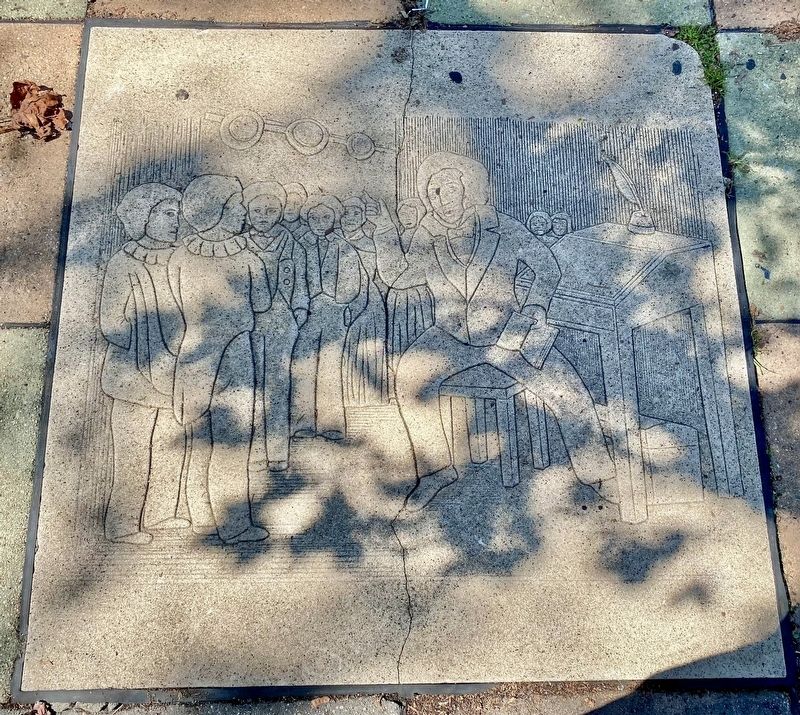
Four panels set among the spray shower tiles illustrate the early days of Gravesend: a colonial couple in a cemetery, a room full of men signing a document, a woman kneeling in prayer beside her bed, and a farmer plowing his field with an ox. These imagined scenes are based on what we know about the way of life in Gravesend during the 17th century.
Erected by NYC Parks.
Topics and series.
This historical marker is listed in these topic lists: Parks & Recreational Areas • Settlements & Settlers. In addition, it is included in the NYC Parks series list. A significant historical date for this entry is March 14, 1933.
Location. 40° 36.074′ N, 73° 58.349′ W. Marker is in Brooklyn, New York, in Kings County. It is in Gravesend. Marker is on McDonald Avenue, on the right when traveling north. Touch for map. Marker is at or near this postal address: 2099 McDonald Avenue, Brooklyn NY 11223, United States of America. Touch for directions.
Other nearby markers. At least 8 other markers are within walking distance of this marker. PO Jeff Herman Ballfield (about 300 feet away, measured in a direct line); Gravesend Veterans Memorial (approx. 0.3 miles away); Mickey Kairey Garden (approx. 0.3 miles away); Lady Moody Square (approx. 0.3 miles away); Gravesend (approx. 0.3 miles away); Gravesend Cemetery (approx. 0.4 miles away); The Battle of Brooklyn (approx. 0.4 miles away); a different marker also named Gravesend (approx. 0.4 miles away). Touch for a list and map of all markers in Brooklyn.
Credits. This page was last revised on July 24, 2023. It was originally submitted on September 29, 2021, by Andrew Ruppenstein of Lamorinda, California. This page has been viewed 221 times since then and 33 times this year. Photos: 1, 2, 3. submitted on September 29, 2021, by Andrew Ruppenstein of Lamorinda, California.


