Edwardsville in Madison County, Illinois — The American Midwest (Great Lakes)
Governor Thomas Ford
1842-1846

Photographed by Jason Voigt, September 23, 2021
1. Governor Thomas Ford Marker
Topics. This historical marker is listed in these topic lists: Education • War, Mexican-American. A significant historical year for this entry is 1805.
Location. 38° 48.481′ N,
this page online

Regionally, this marker is in Greater St. Louis. It is also in the American Midwest, in the Lewis & Clark Corridor, in the Corn Belt, and in the Great River Road Region. Globally, it is in North America, the Western Hemisphere, the Western World, and the Anglosphere. Historically, it finds itself in what was once the territory of the Mississippian Culture and also the Northwest Territory.
Other nearby markers. At least 8 other markers are within walking distance of this marker: Governor John Reynolds (here, next to this marker); Governor Charles Deneen (here, next to this marker); Governor Ninian Edwards (here, next to this marker); Governor Edward Coles (here, next to this marker); The Madison County Poor Farm (within shouting distance of this marker); Benjamin Stephenson House
Photographed by Jason Voigt, September 23, 2021
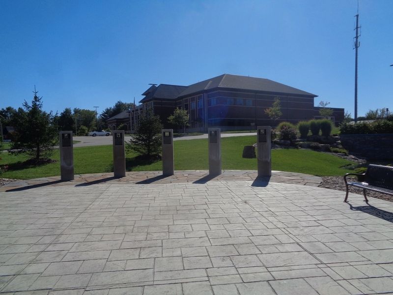
2. Governor Thomas Ford Marker
Marker is on a post, second from the right. Edwardsville Police Department building is in the background
Also see . . . Thomas Ford on Wikipedia. (Submitted on September 29, 2021, by Jason Voigt of Glen Carbon, Illinois.)
Credits. This page was last revised on September 30, 2021. It was originally submitted on September 29, 2021, by Jason Voigt of Glen Carbon, Illinois. This page has been viewed 317 times since then and 29 times this year. Photos: 1, 2. submitted on September 29, 2021, by Jason Voigt of Glen Carbon, Illinois.
