Brighton in Monroe County, New York — The American Northeast (Mid-Atlantic)
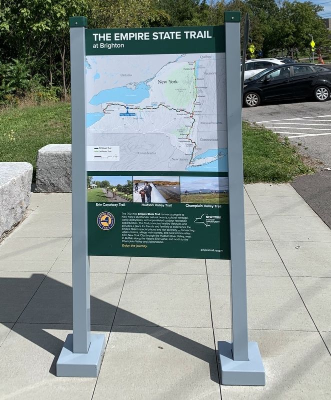
The Empire State Trail
The 750-mile Empire State Trail connects people to New York's spectacular natural beauty, cultural heritage, iconic landscapes, and unparalleled outdoor recreation opportunities. The Trail promotes healthy lifestyles and provides a place for friends and families to experience the Empire State's special places and rich diversity - connecting urban centers, village main streets, and rural communities from New York City through the Hudson River Valley, west to Buffalo along the historic Erie Canal, and north to the Champlain Valley and Adirondacks.
Enjoy the journey.
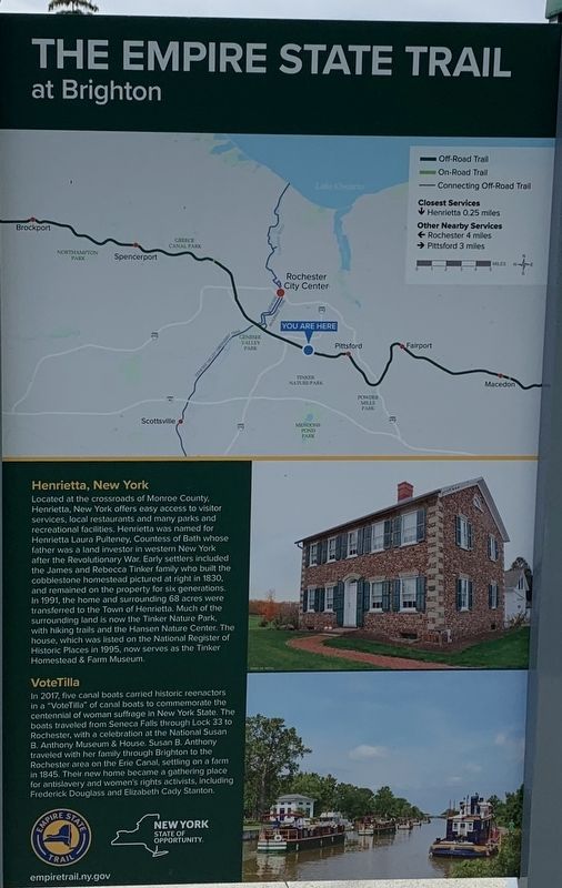
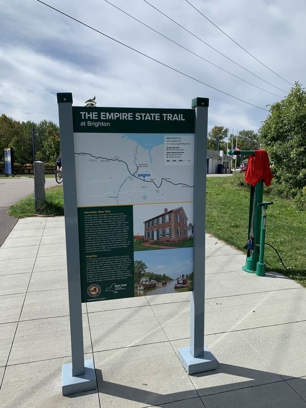
Henrietta, New York
Located at the crossroads of Monroe County, Henrietta, New York offers easy access to visitor services, local restaurants and many parks and recreational facilities. Henrietta was named for Henrietta Laura Pulteney, Countess of Bath whose father was a land investor in western New York after the Revolutionary War. Early settlers included the James and Rebecca Tinker family who built the cobblestone homestead pictured at right in 1830, and remained on the property for six generations. In 1991, the home and surrounding 68 acres were transferred to the Town of Henrietta. Much of the surrounding land is now the Tinker Nature Park, with hiking trails and the Hansen Nature Center. The house, which was listed on the National Register of Historic Places in 1995, now serves as the Tinker Homestead & Farm Museum.
VoteTilla
In 2017, five canal boats carried historic reenactors in a "VoteTilla” of canal boats to commemorate the centennial of woman suffrage in New York State. The boats traveled from Seneca Falls through Lock 33 to Rochester, with a celebration at the National Susan B. Anthony Museum & House. Susan B. Anthony traveled with her family through Brighton to the Rochester area on the Erie Canal, settling on a farm in 1845. Their new home became a gathering place for antislavery and women's rights activists, including Frederick Douglass and Elizabeth Cady Stanton.
Erected by New York State, New York State Canalway.
Topics. This historical marker is listed in this topic list: Settlements & Settlers. A significant historical year for this entry is 1830.
Location. 43° 5.775′ N, 77° 34.118′ W. Marker is in Brighton, New York, in Monroe County. Marker is at the intersection of Edgewood Avenue (County Route 102) and Erie Canal Heritage Trail, on the right when traveling west on Edgewood Avenue. Marker is in the parking lot at Lock 33. Touch for map. Marker is in this post office area: Rochester NY 14618, United States of America. Touch for directions.
Other nearby markers. At least 8 other markers are within 3 miles of this marker, measured as the crow flies. The Great American Canal (within shouting distance of this marker); Changing Alignments (approx. 1.1 miles away); a different marker also named The Great American Canal (approx. 1.2 miles away); The Buckland / Horst House (approx. 1.4 miles away); Spring House - 1822 (approx. 1˝ miles away); Amos B. Buckland (approx. 1˝ miles away); Route of Original Erie Canal (approx. 1.7 miles away); Hopkins Homestead (approx. 2.2 miles away). Touch for a list and map of all markers in Brighton.
Credits. This page was last revised on October 8, 2021. It was originally submitted on September 30, 2021, by Steve Stoessel of Niskayuna, New York. This page has been viewed 260 times since then and 34 times this year. Photos: 1, 2, 3, 4. submitted on September 30, 2021, by Steve Stoessel of Niskayuna, New York. • Bill Pfingsten was the editor who published this page.


