Near Orienta in Major County, Oklahoma — The American South (West South Central)
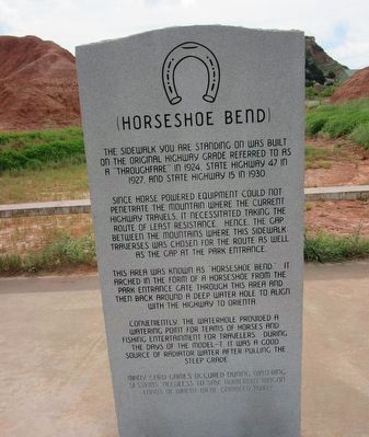
Horseshoe Bend
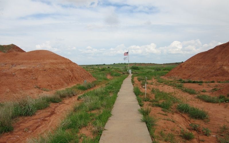
The sidewalk you are standing on was built on the original highway grade referred to as a "thoughfare" in 1924, State Highway 47 in 1927, and State Highway 15 in 1930.
Since horse powered equipment could not penetrate the mountain where the current highway travels, it necessitated taking the route of least resistance. Hence, the gap between the mountains where this sidewalk traverses was chosen for the route as well as the gap at the park entrance.
This area was known as "Horseshoe Bend." It arched in the form of a horseshoe from the park entrance gate through this area and then back around a deep water hole to align with the highway to Orienta.
Conveniently, the waterhole provided a watering point for teams of horses and fishing entertainment for travelers. During the days of the Model-T it was a good source of radiator water after pulling the steep grade.
Many card games occurred during watering sessions. Needless to say numerous wagon loads of wheat were gambled away.
Topics. This historical marker is listed in this topic list: Roads & Vehicles. A significant historical year for this entry is 1924.
Location. 36° 21.78′ N, 98° 34.744′ W. Marker is near Orienta, Oklahoma, in Major County. Marker can be reached from Highway 412, 1˝ miles west of Highway 60, on the right when traveling west. The marker is located at the end of a short walk east from the parking area at the Gloss Mountain State Park. Touch for map. Marker is in this post office area: Fairview OK 73737, United States of America. Touch for directions.
Other nearby markers. At least 4 other markers are within 12 miles of this marker, measured as the crow flies. Glass Mountains or Gloss Mountains (here, next to this marker); Welcome to the Gloss Mountains (approx. 0.2 miles away); Red Mesas of the Blaine Escarpment (approx. 0.2 miles away); Sod House (approx. 11.4 miles away).
Credits. This page was last revised on October 1, 2021. It was originally submitted on September 30, 2021, by Jason Armstrong of Talihina, Oklahoma. This page has been viewed 183 times since then and 27 times this year. Photos: 1, 2. submitted on September 30, 2021, by Jason Armstrong of Talihina, Oklahoma. • J. Makali Bruton was the editor who published this page.

