Port Aransas in Nueces County, Texas — The American South (West South Central)
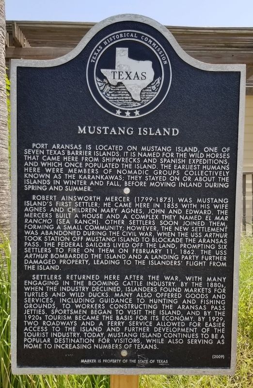
Mustang Island
Robert Ainsworth Mercer (1799-1875) was Mustang Island's first settler; he came here in 1855 with his wife Agnes and children Mary Agnes, John and Edward. The Mercers built a house and a complex they named El Mar Rancho (Sea Ranch). Other settlers soon joined them, forming a small community; however, the new settlement was abandoned during the Civil War, when the USS Arthur took station off Mustang Island to blockade the Aransas Pass. The federal sailors lived off the land, prompting six settlers to fire on them on February 11, 1862. The USS Arthur bombarded the island and a landing party further damaged property, leading to the islanders' flight from the island.
Settlers returned here after the war, with many engaging in the booming cattle industry. By the 1880s, when the industry declined, islanders found markets for turtles and wild ducks. Many also offered goods and services, including guidance to hunting and fishing grounds, to workers constructing the Aransas Pass Jetties. Sportsmen began to visit the island, and by the 1920s tourism became the basis for its economy. By 1929, two roadways and a ferry service allowed for easier access to the island and further development of the tourist industry. Today, Mustang Island continues to be a popular destination for visitors, while also serving as home to increasing numbers of Texans.
Erected 2009 by Texas Historical Commission. (Marker Number 15857.)
Topics. This historical marker is listed in these topic lists: Animals • Native Americans • Settlements & Settlers • Sports. A significant historical date for this entry is February 11, 1862.
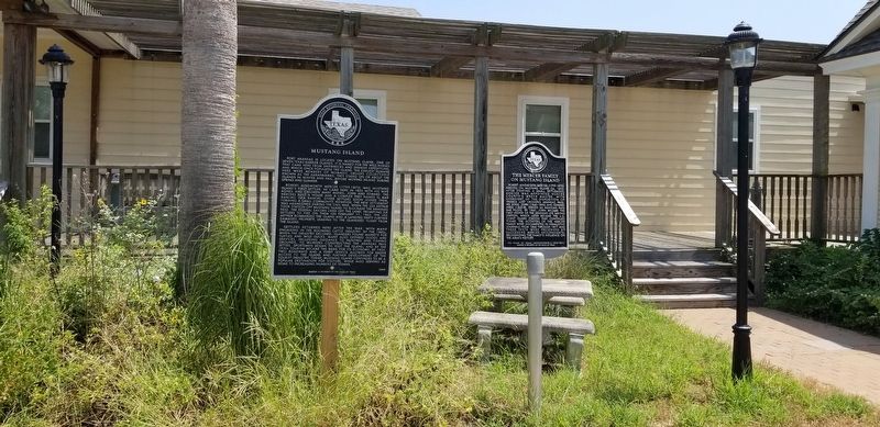
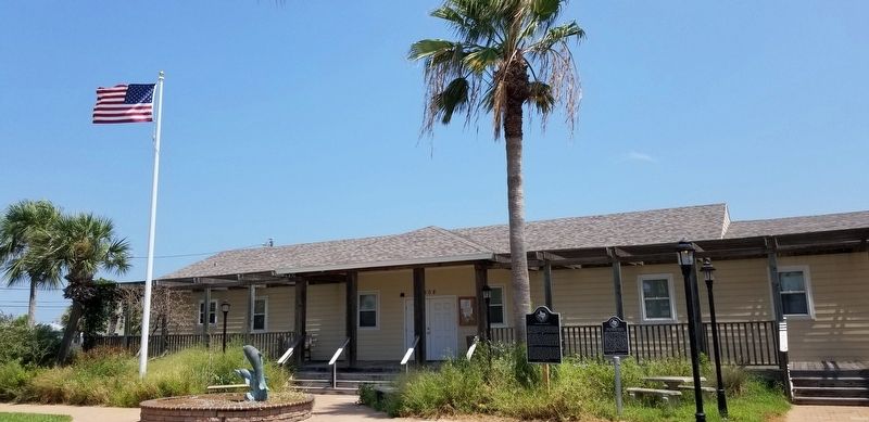
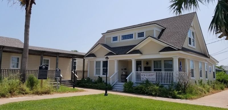
Location. 27° 50.139′ N, 97° 3.659′ W. Marker is in Port Aransas, Texas, in Nueces County. Marker is at the intersection of North Alister Street and East Brundrett Avenue, on the left when traveling south on North Alister Street. The marker is located in front of the Port Aransas Museum. Touch for map. Marker is at or near this postal address: 400 North Alister Street, Port Aransas TX 78373, United States of America. Touch for directions.
Other nearby markers. At least 8 other markers are within 8 miles of this marker, measured as the crow flies. The Mercer Family on Mustang Island (here, next to this marker); Tarpon Inn (approx. 0.2 miles away); Port Aransas Memorial (approx. 0.4 miles away);
Aransas Pass (approx. 0.4 miles away); World War II Coastal Defenses at the Aransas Pass (approx. 0.4 miles away); Terminal Railroad (approx. 6.7 miles away); Aransas Pass First Baptist Church (approx. 7 miles away); Great Land Lottery of Aransas Pass (approx. 7.4 miles away). Touch for a list and map of all markers in Port Aransas.
Also see . . .
1. Mustang Island.
Capt. Robert Mercer brought the first family to Mustang Island and built the first house there at what he called El Mar Rancho in 1853. Mrs. Mercer is reputed to have been the first White woman in the area. Herds of mustangs roamed the island when Mercer arrived. A quarantine station was established at the north end in 1879 and later moved across Lydia Ann Channel to Harbor Island. The first life-saving station in the area was established on the north end in 1880. Source: The Handbook of Texas(Submitted on October 1, 2021, by James Hulse of Medina, Texas.)
2. Karankawa Indians.
The Karankawa Indians are an American Indian cultural group whose traditional homelands are located along Texas’s Gulf Coast from Galveston Bay southwestwardly to Corpus Christi Bay. The name Karankawa became the accepted designation for several groups of coastal people who shared a common language and culture. Those groups, identified in early historic times, included the Carancahuas, Coapites, Cocos, Cujanes, and Copanes. All of these Indians spoke a language called Karankawan, of which around 500 words are preserved. Source: The Handbook of Texas(Submitted on October 1, 2021, by James Hulse of Medina, Texas.)
Credits. This page was last revised on October 1, 2021. It was originally submitted on October 1, 2021, by James Hulse of Medina, Texas. This page has been viewed 275 times since then and 28 times this year. Photos: 1, 2, 3, 4. submitted on October 1, 2021, by James Hulse of Medina, Texas.


