Ovilla in Ellis County, Texas — The American South (West South Central)
Ovilla
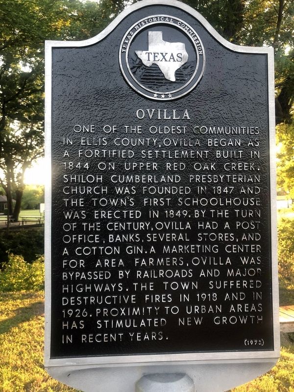
One of the oldest communities in Ellis County, Ovilla began as a fortified settlement built in 1844 on upper Red Oak Creek. Shiloh Cumberland Presbyterian Church was founded in 1847 and the town's first schoolhouse was erected in 1849. By the turn of the century, Ovilla had a post office, banks, several stores, and a cotton gin. A marketing center for area farmers, Ovilla was bypassed by railroads and major highways. The town suffered destructive fires in 1918 and in 1926. Proximity to urban areas has stimulated new growth in recent years.
Erected 1978 by Texas Historical Commission. (Marker Number 7135.)
Topics. This historical marker is listed in these topic lists: Cemeteries & Burial Sites • Settlements & Settlers. A significant historical year for this entry is 1844.
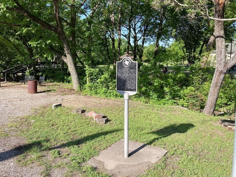
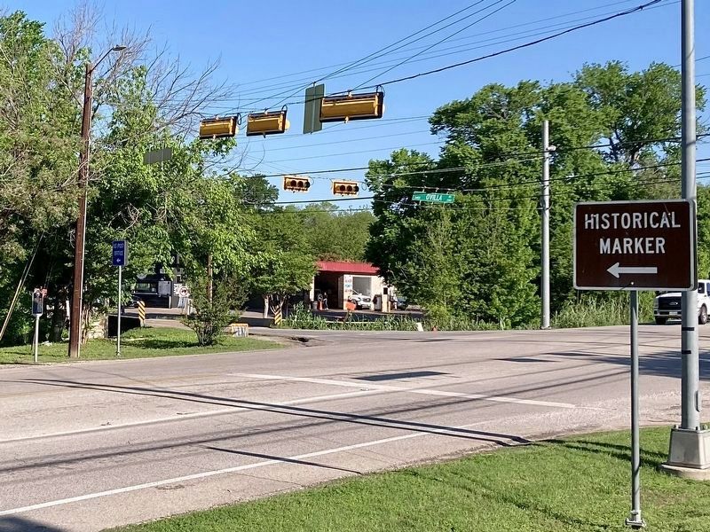
Location. 32° 31.578′ N, 96° 53.174′ W. Marker is in Ovilla, Texas, in Ellis County. Marker is at the intersection of Ovilla Road (Road 664) and Main Street, on the right when traveling south on Ovilla Road. The marker is located near Heritage Park. Touch for map. Marker is at or near this postal address: 675 W Main St, Red Oak TX 75154, United States of America. Touch for directions.
Other nearby markers. At least 8 other markers are within 5 miles of this marker, measured as the crow flies. Heritage Park (within shouting distance of this marker); First Baptist Church of Ovilla (within shouting distance of this marker); Ovilla Cemetery (approx. 0.2 miles away); Shiloh Cumberland Presbyterian Church (approx. 0.7 miles away); Shiloh Cemetery (approx. 0.8 miles away); Ellis County (approx. 4˝ miles away); Parsons' Cavalry (approx. 4˝ miles away); Red Oak Cemetery (approx. 4.7 miles away). Touch for a list and map of all markers in Ovilla.
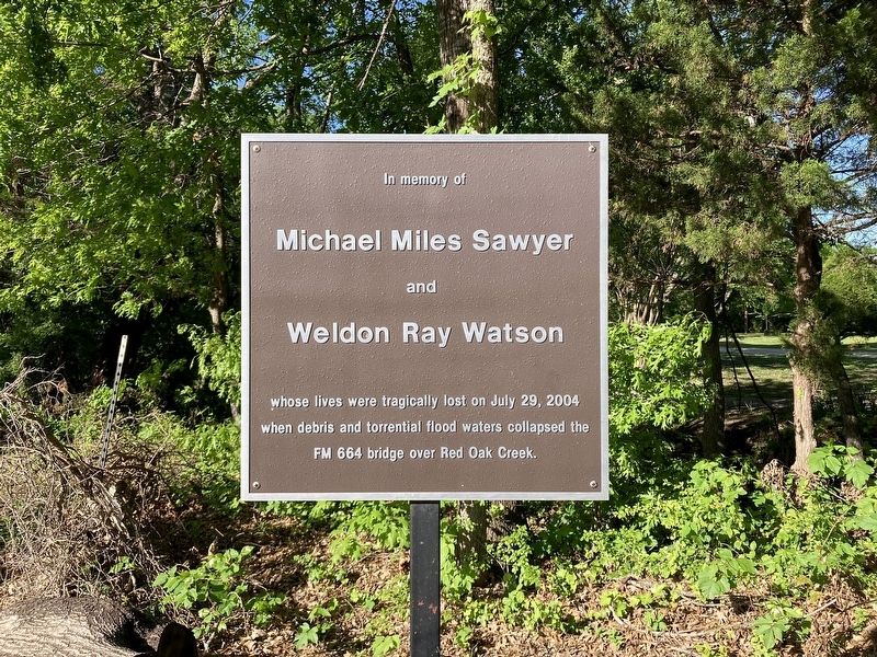
More about this marker. A nearby tribute marker has the following text:
In memory of Michael Miles Sawyer and Weldon Ray Watson whose lives were tragically lost on July 29, 2004 when debris and torrential flood waters collapsed the FM 664 bridge over Red Oak Creek.
[the bridge is 400 feet south of the marker]
Credits. This page was last revised on April 14, 2024. It was originally submitted on October 1, 2021, by J Frye of Fort Worth, Texas. This page has been viewed 272 times since then and 75 times this year. Photos: 1. submitted on October 1, 2021, by J Frye of Fort Worth, Texas. 2, 3, 4. submitted on April 14, 2024, by Craig Baker of Sylmar, California. • J. Makali Bruton was the editor who published this page.


