Dana Point in Orange County, California — The American West (Pacific Coastal)
Dana Point's Early Years
Life Before the Highway
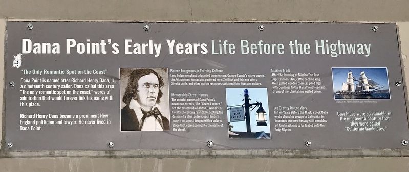
"The Only Romantic Spot on the Coast"
Dana Point is named after Richard Henry Dana, Jr. a nineteenth century sailor. Dana called this area "the only romantic spot on the coast," words of admiration that would forever link his name with this place.
Richard Henry Dana became a prominent New England politician and lawyer. he never lived in Dana Point.
Before Europeans, a Thriving Culture
Long before merchant ships piled these waters, Orange County's native people, the Acjachemen, hunted and gathered here. Shellfish and fish, sea otters, Olivella shells, and other marine resources sustained their lives and culture.
Memorable Street Names
The colorful names of Dana Point's downtown street, like "Green Lantern" are the brainchild of Ann G. Walters, a twentieth-century realtor. reflecting the design of a ship lantern, each lantern hung from a post topped with a colored globe that corresponded to the name of the street.
Mission Trade
After the founding of Mission San Juan Capistrano in 1776, cattle became king. Oxen pulled wooden carretas piled high with cowhides to the Dana Point Headlands. Crews of merchant ships waited below.
Let Gravity do the Work
In "Two Years Before the Mast", a book Dana wrote about his voyage to California, he described the crew tossing stiff cowhides off the headlands to be loaded onto the brig Pilgrim.
Cow hides were so valuable in the nineteenth century that they were called "California banknotes."
Topics. This historical marker is listed in these topic lists: Exploration • Industry & Commerce • Roads & Vehicles • Settlements & Settlers. A significant historical year for this entry is 1776.
Location. 33° 27.862′ N, 117° 41.018′ W. Marker is in Dana Point, California, in Orange County. Marker is on Pacific Coast Highway (California Route 1) west of Doheny Park Road, on the right when traveling west. Touch for map. Marker is in this post office area: Dana Point CA 92629, United States of America. Touch for directions.
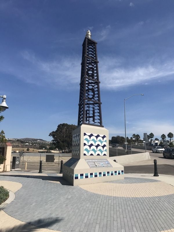
Other nearby markers. At least 8 other markers are within walking distance of this marker. California's Highway 1 (here, next to this marker); The Richfield Tower (here, next to this marker); Doheny State Beach (about 700 feet away, measured in a direct line); The Endless Summer (about 700 feet away); Surfin' Dana Point (about 800 feet away); Bruce Brown (1937-2017) (approx. 0.2 miles away); Hobie Alter / The Surfboard King (approx. 0.2 miles away); Hobie Cat / Innovation and Hard Work (approx. 0.2 miles away). Touch for a list and map of all markers in Dana Point.
Credits. This page was last revised on January 10, 2022. It was originally submitted on October 3, 2021, by Adam Margolis of Mission Viejo, California. This page has been viewed 272 times since then and 32 times this year. Photos: 1, 2. submitted on October 3, 2021, by Adam Margolis of Mission Viejo, California. • J. Makali Bruton was the editor who published this page.

