Near La Grange in Fayette County, Texas — The American South (West South Central)
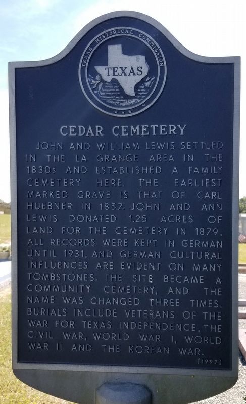
Cedar Cemetery
Erected 1997 by Texas Historical Commission. (Marker Number 11787.)
Topics. This historical marker is listed in this topic list: Cemeteries & Burial Sites. A significant historical year for this entry is 1857.
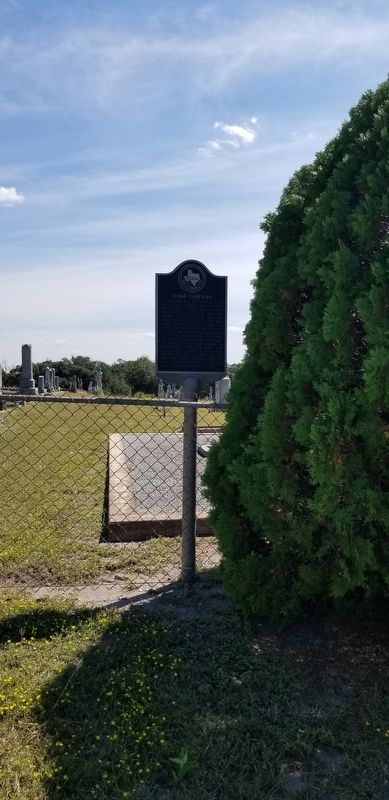
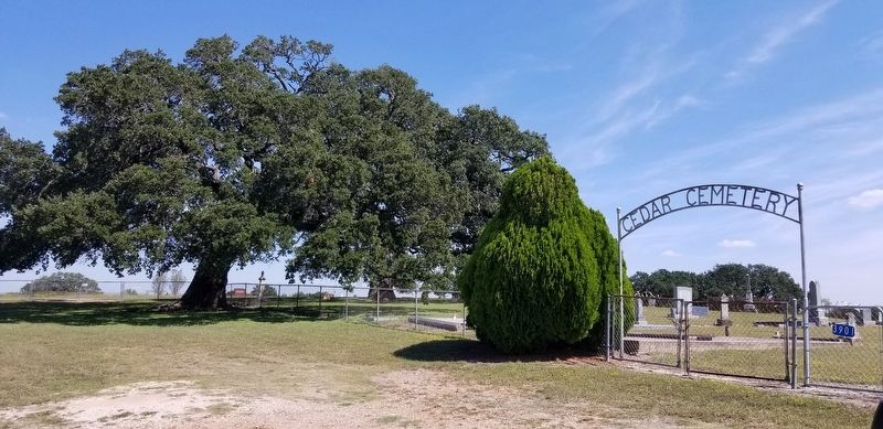
Location. 29° 51.493′ N, 96° 56.057′ W. Marker is near La Grange, Texas, in Fayette County. Marker is on Farm to Market Road 609, 0.1 miles north of Farm to Market Road 2436, on the right when traveling north. The marker is located north of the cemetery entrance by the cedar tree. Touch for map. Marker is in this post office area: La Grange TX 78945, United States of America. Touch for directions.
Other nearby markers. At least 8 other markers are within 4 miles of this marker, measured as the crow flies. Czech Catholic Union of Texas (approx. 1.1 miles away); a different marker also named The Czech Catholic Union of Texas (approx. 1.1 miles away); Father Miguel Muldoon (approx. 1.1 miles away); Augustine Haidusek (approx. 1.9 miles away); The Oldest Czech Settlement (approx. 1.9 miles away); Black Jack Springs Cemetery (approx. 3.7 miles away); The Final Resting Place (approx. 4 miles away); The Survivors of the Dawson Massacre (approx. 4 miles away). Touch for a list and map of all markers in La Grange.
Credits. This page was last revised on October 5, 2021. It was originally submitted on October 5, 2021, by James Hulse of Medina, Texas. This page has been viewed 166 times since then and 21 times this year. Photos: 1, 2, 3. submitted on October 5, 2021, by James Hulse of Medina, Texas.


