San Joaquín, Querétaro, Mexico — The Central Highlands (North America)
Historic Tree
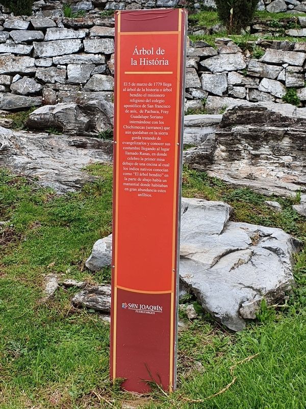
El 5 de marzo de 1779 llega al árbol de la historia o árbol bendito el misionero religioso del colegio apostólico de San francisco de asis, de Pachuca, Fray Guadalupe Soriano internándose con los Chichimecas (serranos) que aún quedaban en la sierra gorda tratando de evangelizarlos y conocer sus costumbre llegando al lugar llamado Ranas, en donde celebro la primer misa debajo de una encina al cual los indios nativos conocían como “El árbol bendito" en la parte de abajo había un manantial donde habitaban en gran abundancia estos anfibios.
Historic Tree
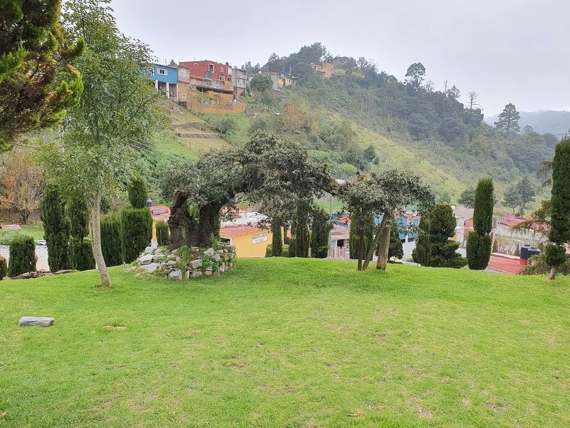
On March 5, 1779, the religious missionary of the Apostolic College of San Francisco de Assisi of Pachuca, Friar Guadalupe Soriano, arrived here at this historic tree. It is also known as the “blessed tree.” The friar came to live with the Chichimecas (Serranos) who were still in the Sierra Gorda, trying to evangelize them and learning their customs. He arrived at the place called Ranas, where he celebrated the first mass under an oak tree that the native Indians knew as "the blessed tree." Below the tree there was a spring which had a great number of amphibians living in great abundance.
Topics and series. This historical marker is listed in these topic lists: Churches & Religion • Colonial Era • Horticulture & Forestry. In addition, it is included in the Historic Trees series list. A significant historical date for this entry is March 5, 1779.
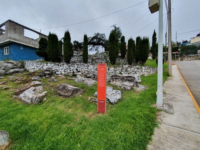
Location. 20° 54.82′ N, 99° 33.796′ W. Marker is in San Joaquín, Querétaro. Marker is on Cristóbal Colón just south of 16 de Septiembre, on the left when traveling east. Touch for map. Marker is in this post office area: San Joaquín QUE 76550, Mexico. Touch for directions.
Other nearby markers. At least 8 other markers are within walking distance of this marker. The Round Stone Monument (about 240 meters away, measured in a direct line); Observation Post "La Crucita" (approx. 0.3 kilometers away); Emiliano Zapata (approx. 0.4 kilometers away); Plaza Galación Camacho (approx. 0.4 kilometers away); Monument to the Miner (approx. 0.9 kilometers away); Las Ranas and the Access Complex (approx. 1.3 kilometers away); Ball Court Two (approx. 1.4 kilometers away); Ball Court Three (approx. 1.4 kilometers away). Touch for a list and map of all markers in San Joaquín.
Credits. This page was last revised on October 5, 2021. It was originally submitted on October 5, 2021, by J. Makali Bruton of Accra, Ghana. This page has been viewed 70 times since then and 2 times this year. Photos: 1, 2, 3. submitted on October 5, 2021, by J. Makali Bruton of Accra, Ghana.


