Deadwood in Lawrence County, South Dakota — The American Midwest (Upper Plains)
Generations of Change
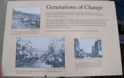
The town acquired some modern technology early: the telegraph (1876), the telephone (1879), and electric lights (1883). However, oxen-pulled freight wagons and stage coaches had to provide transportation until 1890, when two standard gauge railroads arrived. In 1904, The Black Hills Illustrated claimed that Deadwood "possesses many of the elements of metropolitanism usually found in a city of 100,000 inhabitants."
These historic photographs look north down Main Street from about Shine Street.
Caption on photo in upper left: 1877 • Wooden buildings formed an irregular line down the dirt road. The level of Upper Main Street had not yet been lowered.
Caption on photo in lower left: 1889 • Ox teams crowded the dusty street and larger brick buildings began to replace wooden false-front structures.
Caption on photo in lower right: 1909 • Brick and stone buildings, and brick pavement gave Deadwood an air of permanence. Automobiles replaced bull trains, and fire hydrants gave Deadwood an added defense against future fires. Overhead electric lights illuminated the street.
Topics. This historical marker is listed in this topic list: Settlements & Settlers. A significant historical year for this entry is 1890.
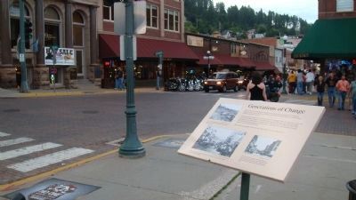
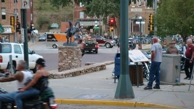
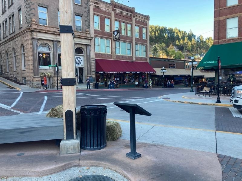
Location. Marker has been permanently removed. It was located near 44° 22.571′ N, 103° 43.86′ W. Marker was in Deadwood, South Dakota, in Lawrence County. Marker was at the intersection of Main Street and Deadwood Street, on the left when traveling west on Main Street. Touch for map. Marker was in this post office area: Deadwood SD 57732, United States of America.
We have been informed that this sign or monument is no longer there and will not be replaced. This page is an archival view of what was.
Other nearby markers. At least 8 other markers are within walking distance of this location. Deadwood’s Grand Bandstand (a few steps from this marker); Black Hills Trust and Savings Bank (a few steps from this marker); Waite Block Annex (within shouting distance of this marker); History Buried Beneath Your Feet (within shouting distance of this marker); Serving the Black Hills (within shouting distance of this marker); Deadwood's Carnegie Library (within shouting distance of this marker); Jack McCall Capture Site
(about 300 feet away, measured in a direct line); School District #02 (about 300 feet away). Touch for a list and map of all markers in Deadwood.
Credits. This page was last revised on October 8, 2021. It was originally submitted on October 6, 2010, by William J. Toman of Green Lake, Wisconsin. This page has been viewed 870 times since then and 10 times this year. Last updated on October 5, 2021, by Connor Olson of Kewaskum, Wisconsin. Photos: 1, 2, 3. submitted on October 6, 2010, by William J. Toman of Green Lake, Wisconsin. 4. submitted on October 8, 2021, by Connor Olson of Kewaskum, Wisconsin. • Mark Hilton was the editor who published this page.


