Jacksonville in Pulaski County, Arkansas — The American South (West South Central)
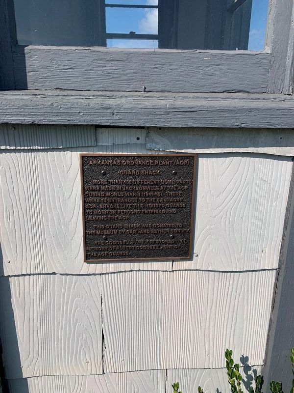
Arkansas Ordnance Plant (AOP)
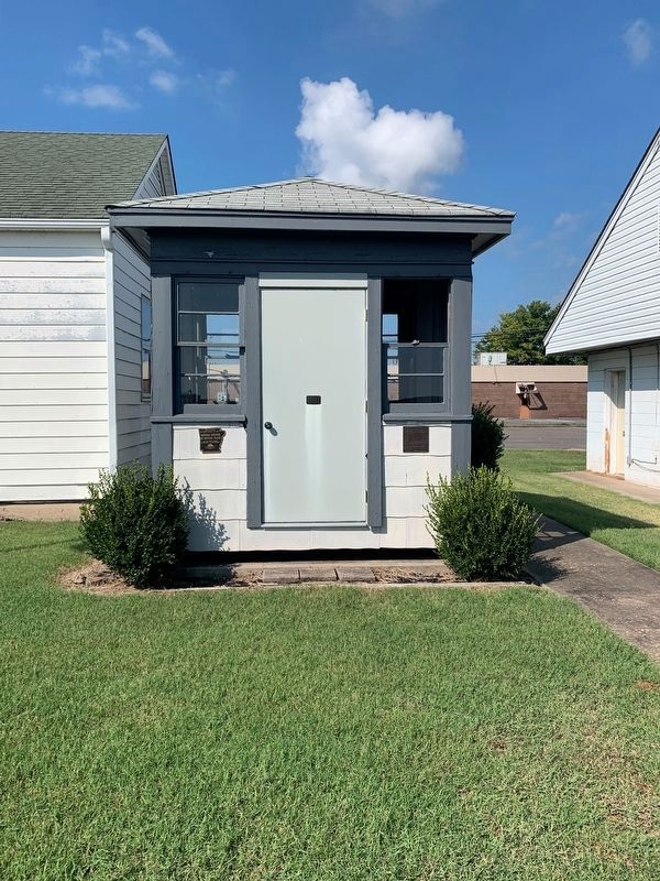
Guard Shack
Topics. This historical marker is listed in these topic lists: Industry & Commerce • War, World II. A significant historical year for this entry is 1941.
Location. 34° 52.042′ N, 92° 7.361′ W. Marker is in Jacksonville, Arkansas, in Pulaski County. Marker is at the intersection of North Hospital Circle and West Main Street, on the left when traveling north on North Hospital Circle. The marker stands front of the Jacksonville Museum of Military History. Touch for map. Marker is at or near this postal address: 100 Veterans Cir, Jacksonville AR 72076, United States of America. Touch for directions.
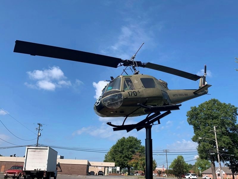
Other nearby markers. At least 8 other markers are within 2 miles of this marker, measured as the crow flies. Memorial Honoring 53 (here, next to this marker); In Honor and Remembrance (here, next to this marker); Veterans Memorial (within shouting distance of this marker); Governor Homer M. Adkins (about 700 feet away, measured in a direct line); Tom Cory (approx. 0.3 miles away); Jacksonville, Arkansas (approx. half a mile away); First Jacksonville School (approx. 0.8 miles away); Memphis Military Road (approx. 1.2 miles away). Touch for a list and map of all markers in Jacksonville.
Credits. This page was last revised on October 9, 2021. It was originally submitted on October 6, 2021, by Thomas Smith of Waterloo, Ill. This page has been viewed 228 times since then and 29 times this year. Photos: 1, 2, 3, 4. submitted on October 6, 2021, by Thomas Smith of Waterloo, Ill. • Devry Becker Jones was the editor who published this page.


