Deadwood in Lawrence County, South Dakota — The American Midwest (Upper Plains)
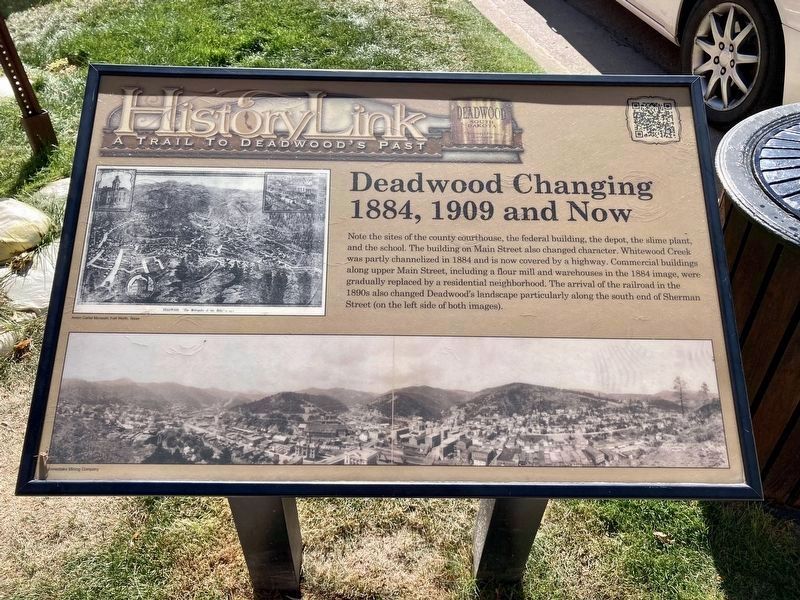
Deadwood Changing -- 1884, 1909 and Now
Photographed by Connor Olson, October 6, 2021
1. Deadwood Changing -- 1884 1902 and Now Marker
Erected by Deadwood Historic Preservation Commission.
Topics. This historical marker is listed in these topic lists: Industry & Commerce • Settlements & Settlers. A significant historical year for this entry is 1884.
Location. 44° 22.523′ N, 103° 43.903′ W. Marker is in Deadwood, South Dakota, in Lawrence County. It is at the intersection of Main Street and Pine Street, on the left when traveling south on Main Street. Touch for map. Marker is in this post office area: Deadwood SD 57732, United States of America. Touch for directions.

Regionally, this marker is in West
this page online
Other nearby markers. At least 8 other markers are within walking distance of this marker: School District #02 (a few steps from this marker); Spanish-American War Memorial (a few steps from this marker); Serving the Black Hills (within shouting distance of this marker); The Legend Begins… (about 300 feet away, measured in a direct line); Deadwood’s Grand Bandstand (about 300 feet away); History Buried Beneath Your Feet (about 300 feet away); Deadwood's Carnegie Library (about 400 feet away); Black Hills Trust and Savings Bank (about 400 feet away). Touch for a list and map of all markers in Deadwood.
Other markers no longer nearby. Generations of Change (was about 300 feet away but has been permanently removed); Ride High, T.C., Ride High (was about 400 feet away but has been permanently removed).
Photographed by Connor Olson, October 6, 2021
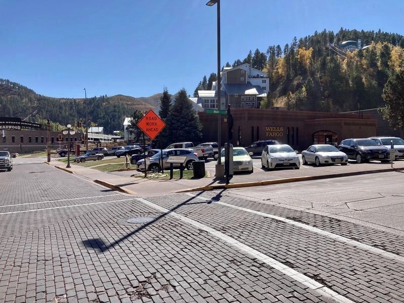
2. New marker can be seen on the corner in new location
Photographed by William J. Toman, August 7, 2010
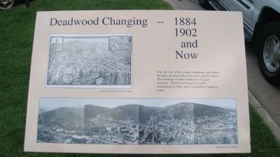
3. Former marker - Deadwood Changing -- 1884 1902
Credits. This page was last revised on October 6, 2021. It was originally submitted on October 6, 2010, by William J. Toman of Green Lake, Wisconsin. This page has been viewed 1,104 times since then and 17 times this year. Last updated on October 6, 2021, by Connor Olson of Menomonee Falls, Wisconsin. Photos: 1, 2. submitted on October 6, 2021, by Connor Olson of Menomonee Falls, Wisconsin. 3. submitted on October 6, 2010, by William J. Toman of Green Lake, Wisconsin. • Mark Hilton was the editor who published this page.
