Deadwood in Lawrence County, South Dakota — The American Midwest (Upper Plains)
Deadwood’s Grand Bandstand
— A Trail to Deadwood's Past —
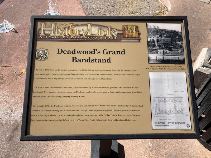
On June 4, 1893, the Deadwood brass band, under the leadership of Peter Eixenberger, played its first concert in the new replaced by the Cudahy Packing Company building in 1915.
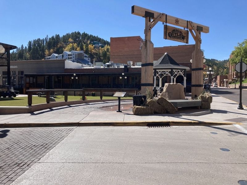
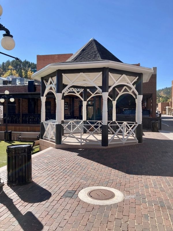
In the early 1990s, the Deadwood Historic Preservation Commission hired Sioux Falls, South Dakota architect Spencer Ruff to draft a set of architectural plans of the bandstand. Though the bandstand was not built, the architectural plans remain on file in the City Archives. In 2018, the bandstand plans were included in the Outlaw Square design concept. One year later, construction crews from Scull Construction of Rapid City, South Dakota built the wood bandstand before you.
Captions:
Deadwood’s Bandstand, circa 1897.
Spencer Ruff & Associates architectural plans.
Erected by Deadwood Historic Preservation Commission.
Topics. This historical marker is listed in these topic lists: Architecture • Arts, Letters, Music. A significant historical month for this entry is May 1893.
Location. 44° 22.568′ N, 103° 43.856′ W. Marker is in Deadwood, South Dakota, in Lawrence County. Marker is at the intersection of Main Street and Deadwood Street, on the left when traveling south on Main Street. Located in Outlaw Square. Touch for map. Marker is at or near this postal address: 703 Main St, Deadwood SD 57732, United States of America. Touch for directions.
Other nearby markers. At least 8 other markers are within walking distance of this marker. Black Hills Trust and Savings Bank (within shouting distance of this marker); Waite Block Annex (within shouting distance of this marker); History Buried Beneath Your Feet (within shouting distance of this marker); Serving the Black Hills (within shouting distance of this marker); Deadwood's Carnegie Library (about 300 feet away, measured in a direct line); Jack McCall Capture Site (about 300 feet away); Weight a Minute (about 300 feet away); School District #02 (about 300 feet away). Touch for a list and map of all markers in Deadwood.
Credits. This page was last revised on October 8, 2021. It was originally submitted on October 6, 2021, by Connor Olson of Kewaskum, Wisconsin. This page has been viewed 186 times since then and 32 times this year. Photos: 1, 2, 3. submitted on October 6, 2021, by Connor Olson of Kewaskum, Wisconsin. • Mark Hilton was the editor who published this page.


