
Deadwood in Lawrence County, South Dakota — The American Midwest (Upper Plains)
The Presidential District
| — | A Trail to Deadwood’s Past | — |
Photographed by Connor Olson, October 6, 2021
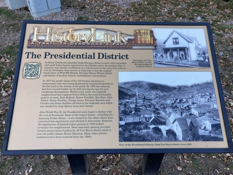
1. The Presidential District Marker (replacement marker)
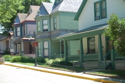
In 1877 the gentle slopes of the hill became attractive to homeowners, who were being displaced by commercial growth on the flat land at the bottom of the gulch. By 1880 the cemetery had been moved further up the hill, clearing the way for new residential development. Within a few years the Ingleside neighborhood had replaced Forest Hill as the most fashionable quarter in town. Seth Bullock, Harris Franklin, Ben Baer, John Treber, Henry Frawley, Geroge Ayres, Freeman Knowles and Charles and Jonas Zoellner all lived in Ingleside area, which was marked by large Queen-Anne-style homes.
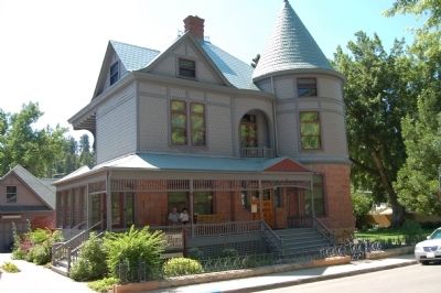
After World War II, the Presidential area began to decline with the rest of Deadwood. Some of the largest homes – including the imposing Treber
this page online
Erected by Deadwood Historic Preservation Commission.
Topics. This historical marker is listed in this topic list: Notable Places. A significant historical year for this entry is 1876.
Location. 44° 22.375′ N, 103° 43.646′ W. Marker is in Deadwood, South Dakota, in Lawrence County. It is on Van Buren Street. Located near where Cemetery Street changes name to Van Buren Street, there in no intersection, near Sherman Street. Touch for map. Marker is in this post office area: Deadwood SD 57732, United States of America. Touch for directions.

Regionally, this marker is in West River. It is also in the American Black Hills, in the Lewis & Clark Corridor, on the prairies, and on the Northern Plains. Globally, it is in North America, the Western
Photographed by Connor Olson, October 6, 2021
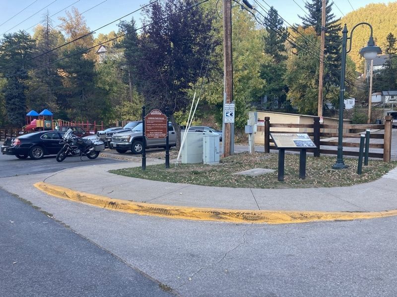
2. The Presidential District Marker
Other nearby markers. At least 8 other markers are within walking distance of this marker: Deadwood's First City Park (within shouting distance of this marker); Spanish-American War Veterans Memorial (within shouting distance of this marker); The Franklin’s Fine Home (about 300 feet away, measured in a direct line); First Baptist Church (about 400 feet away); The Smokestack - Reconstructed (about 500 feet away); Fish & Hunter Company (about 500 feet away); a different marker also named The Presidential District (about 600 feet away); Utility Building (about 700 feet away). Touch for a list and map of all markers in Deadwood.
Additional keywords. residential areas
Photographed by Barry Swackhamer, July 23, 2009
3. Houses on Van Buren Street
Photographed by Barry Swackhamer, July 23, 2009
4. The Adams House on Van Buren Street
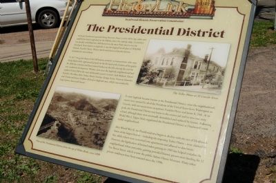
Photographed by Barry Swackhamer, July 23, 2009
5. Former The Presidential District Marker
Credits. This page was last revised on October 8, 2021. It was originally submitted on November 20, 2011, by Barry Swackhamer of Brentwood, California. This page has been viewed 1,438 times since then and 35 times this year. Last updated on October 6, 2021, by Connor Olson of Menomonee Falls, Wisconsin. Photos: 1, 2. submitted on October 6, 2021, by Connor Olson of Menomonee Falls, Wisconsin. 3, 4, 5. submitted on November 20, 2011, by Barry Swackhamer of Brentwood, California. • Mark Hilton was the editor who published this page.
