Deadwood in Lawrence County, South Dakota — The American Midwest (Upper Plains)
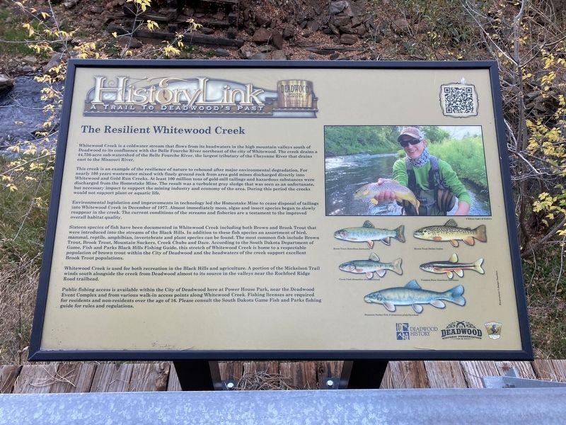
The Resilient Whitewood Creek
— A Trail to Deadwood's Past —
This creek is an example of the resilience of nature to rebound after major environmental degradation. For nearly 100 years wastewater mixed with finely ground rock from area gold mines discharged directly into Whitewood and Gold Run Creeks. At least 100 million tons of gold-mill tailings and hazardous substances were discharged from the Homestake Mine. The result was a turbulent grey sludge that was seen as an unfortunate, but necessary impact to support the mining industry and economy of the area. During this period the creeks would not support plant or aquatic life.
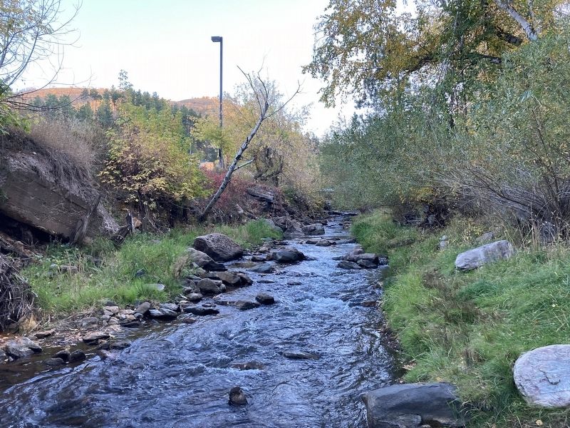
Environmental legislation and improvements in technology led the Homestake Mine to cease disposal of tailings into Whitewood Creek in December of 1977. Almost immediately moss, algae and insect species began to slowly reappear in the creek. The current conditions of the streams and fisheries are a testament to the improved overall habitat quality.
Sixteen species of fish have been documented in Whitewood Creek including both Brown and Brook Trout that were introduced into the streams of the Black Hills. In addition to these fish species an assortment of bird, mammal, reptile, amphibian, invertebrate and plant species can be found. The most common fish include Brown Trout, Brook Trout, Mountain Suckers, Creek Chubs and Dace. According to the South Dakota Department of Game, Fish and Parks Black Hills Fishing Guide, this stretch of Whitewood Creek is home to a respectable population of brown trout within the City of Deadwood and the headwaters of the creek support excellent Brook Trout populations.
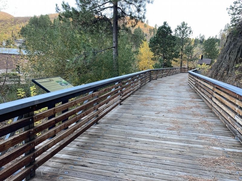
Whitewood Creek is used for both recreation in the Black Hills and agriculture. A portion of the Mickelson Trail winds south alongside the creek from Deadwood almost to its source in the valleys near the Rochford Ridge Road trailhead.
Public fishing access is available within the City of Deadwood here at Power House Park, near the Deadwood Event Complex and from various walk-in access points along Whitewood Creek. Fishing licenses are required for residents and non-residents over the age of 16. Please consult the South Dakota Game Fish and Parks fishing guide for rules and regulations.
Erected by History Deadwood; Deadwood Historic Preservation Commission; South Dakota Department of Game, Fish and Parks.
Topics. This historical marker is listed in these topic lists: Animals • Waterways & Vessels. A significant historical month for this entry is December 1977.
Location. 44° 22.256′ N, 103° 43.735′ W. Marker is in Deadwood, South Dakota, in Lawrence County. Marker can be reached from Sherman Street (U.S. 85). Located in Powerhouse Park. Touch for map. Marker is in this post office area: Deadwood SD 57732, United States of America. Touch for directions.
Other nearby markers. At least 8 other markers are within walking distance of this marker. Burlington Interurban Power Plant (within shouting distance of this marker); George S. Mickelson Trail (within shouting distance of this marker); Chicago Burlington & Quincy Railroad Yard (within shouting distance of this marker); Interurban Trolley (within shouting distance of this marker); Radial Brick Smokestack (within shouting distance of this marker); McGovern Hill (within shouting distance of this marker); The Smokestack - Reconstructed (about 400 feet away, measured in a direct line); The Presidential District (about 500 feet away). Touch for a list and map of all markers in Deadwood.
Credits. This page was last revised on October 8, 2021. It was originally submitted on October 7, 2021, by Connor Olson of Kewaskum, Wisconsin. This page has been viewed 274 times since then and 49 times this year. Photos: 1, 2, 3. submitted on October 7, 2021, by Connor Olson of Kewaskum, Wisconsin. • Mark Hilton was the editor who published this page.


