Red Boiling Springs in Macon County, Tennessee — The American South (East South Central)
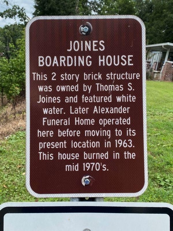
Joines Boarding House
Topics. This historical marker is listed in these topic lists: Industry & Commerce • Notable Buildings. A significant historical year for this entry is 1963.
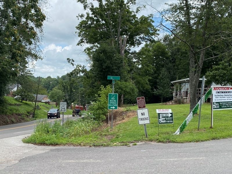
Location. 36° 31.873′ N, 85° 51.108′ W. Marker is in Red Boiling Springs, Tennessee, in Macon County. Marker is at the intersection of Lafayette Road (Tennessee Route 56) and High Street, on the right when traveling north on Lafayette Road. Touch for map. Marker is at or near this postal address: 203 Lafayette Rd, Red Boiling Springs TN 37150, United States of America. Touch for directions.
Other nearby markers. At least 8 other markers are within walking distance of this marker. Bush's Ax Handle Mill (about 700 feet away, measured in a direct line); Bush's Planeing Mill (about 700 feet away); J.B. Brusher Handle Factory (about 700 feet away); The Big Barren Buffalo Road (approx. 0.2 miles away); The Cumberland Trace (approx. 0.2 miles away); 'Little Red Well' (approx. 0.2 miles away); Gaines Boarding House (approx. 0.2 miles away); Palace Tanning Booth (approx. ¼ mile away). Touch for a list and map of all markers in Red Boiling Springs.
Credits. This page was last revised on October 9, 2021. It was originally submitted on October 8, 2021, by Darren Jefferson Clay of Duluth, Georgia. This page has been viewed 115 times since then and 14 times this year. Photos: 1, 2. submitted on October 8, 2021, by Darren Jefferson Clay of Duluth, Georgia. • Devry Becker Jones was the editor who published this page.

