Lafayette in Macon County, Tennessee — The American South (East South Central)
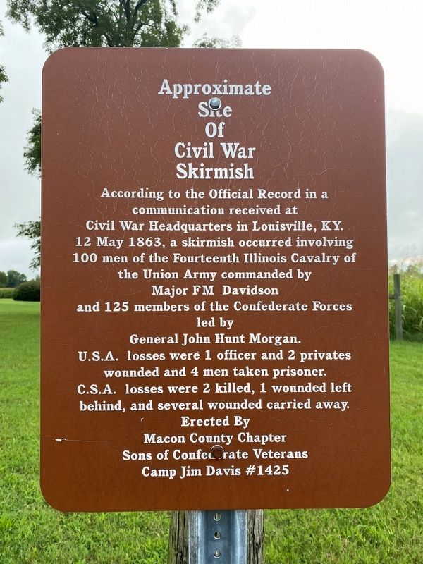
Approximate Site of Civil War Skirmish
Inscription.
According to the Official Record in a communication received at Civil War Headquarters in Louisville, KY. 12 May 1863, a skirmish occurred involving 100 men of the Fourteenth Illinois Cavalry of the Union Army commanded by Major FM Davidson and 125 members of the Confederate Forces led by General John Hunt Morgan. U.S.A. losses were 1 officer and 2 privates wounded and 4 men taken prisoner. C.S.A. losses were 2 killed, 1 wounded left
behind, and several wounded carried away.
Erected by Macon County Chapter Sons of Confederate Veterans Camp Jim Davis #1425.
Topics. This historical marker is listed in this topic list: War, US Civil. A significant historical date for this entry is May 12, 1863.
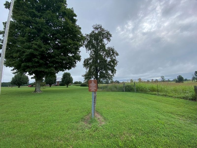
Location. 36° 27.597′ N, 85° 53.71′ W. Marker is in Lafayette, Tennessee, in Macon County. Marker is on Union Camp Road (Tennessee Route 262) 1.3 miles west of Carthage Road (Tennessee Route 56/80), on the right when traveling west. Touch for map. Marker is at or near this postal address: 7651 Union Camp Rd, Lafayette TN 37083, United States of America. Touch for directions.
Other nearby markers. At least 8 other markers are within 6 miles of this marker, measured as the crow flies. Gibbs Crossroads (approx. one mile away); Joines Boarding House (approx. 5˝ miles away); 'Little Red Well' (approx. 5˝ miles away); The Big Barren Buffalo Road (approx. 5˝ miles away); The Cumberland Trace (approx. 5˝ miles away); Bush's Planeing Mill (approx. 5.6 miles away); Bush's Ax Handle Mill (approx. 5.6 miles away); J.B. Brusher Handle Factory (approx. 5.6 miles away).
Credits. This page was last revised on October 8, 2021. It was originally submitted on October 8, 2021, by Darren Jefferson Clay of Duluth, Georgia. This page has been viewed 204 times since then and 21 times this year. Photos: 1, 2. submitted on October 8, 2021, by Darren Jefferson Clay of Duluth, Georgia. • Bernard Fisher was the editor who published this page.

