Jonestown in Baltimore, Maryland — The American Northeast (Mid-Atlantic)
Shot Tower
Erected 1828
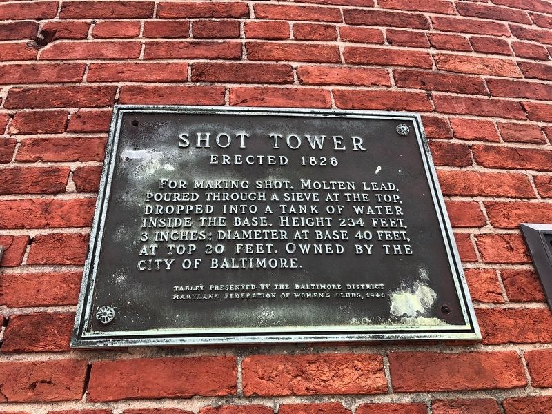
Erected 1946 by The Baltimore District, Maryland Federation of Women's Clubs.
Topics and series. This historical marker is listed in these topic lists: Architecture • Industry & Commerce • Landmarks. In addition, it is included in the National Historic Landmarks series list.
Location. 39° 17.446′ N, 76° 36.331′ W. Marker is in Baltimore, Maryland. It is in Jonestown. It is at the intersection of East Fayette Street and North Front Street, on the right when traveling east on East Fayette Street. Touch for map. Marker is at or near this postal address: 801 E Fayette St, Baltimore MD 21202, United States of America. Touch for directions.

Regionally, this marker is in Central Maryland. It is also in the American Mid-Atlantic, in the Chesapeake Bay Region, and on the Eastern Seaboard. Globally, it is in the North Atlantic Region, North America,
this page online
Other nearby markers. At least 8 other markers are within walking distance of this marker: First Baptist Church, Baltimore (here, next to this marker); 9 North Front Street (within shouting distance of this marker); Baltimore Police Department (within shouting distance of this marker); St. Vincent de Paul Church (within shouting distance of this marker); a different marker also named St. Vincent de Paul Church (about 300 feet away, measured in a direct line); Veterans Park (about 600 feet away); Cast-Iron Façade (about 700 feet away); Baltimore's Great Fire (about 700 feet away). Touch for a list and map of all markers in Baltimore.
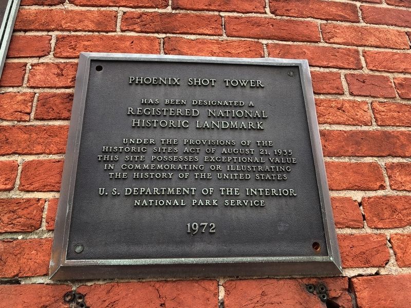
Another marker is no longer nearby. Phoenix Shot Tower (was here, next to this marker but has been confirmed missing).
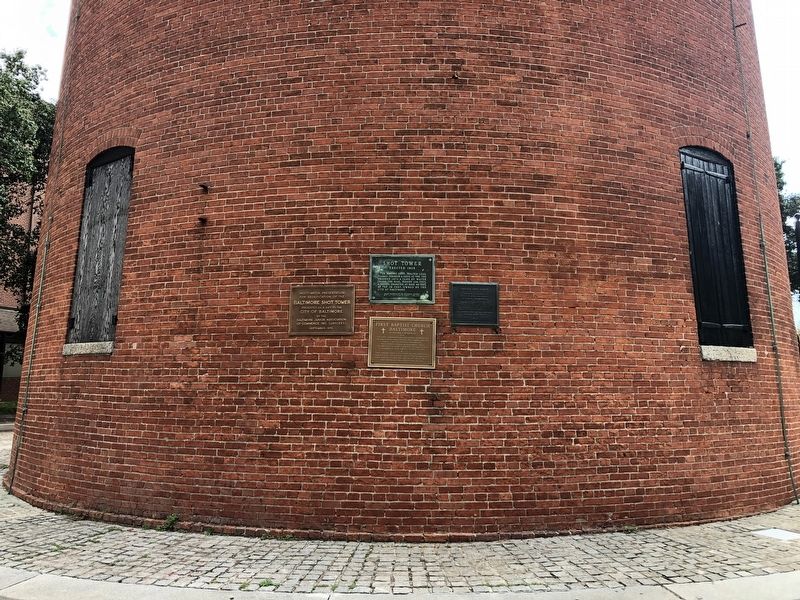
Photographed by Devry Becker Jones (CC0), October 8, 2021
3. National Historic Landmark plaque on the tower
Credits. This page was last revised on October 9, 2021. It was originally submitted on October 9, 2021, by Devry Becker Jones of Washington, District of Columbia. This page has been viewed 247 times since then and 30 times this year. Photos: 1, 2, 3. submitted on October 9, 2021, by Devry Becker Jones of Washington, District of Columbia.
