Mountain View in Clayton County, Georgia — The American South (South Atlantic)
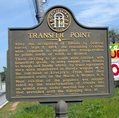
Transfer Point
Those electing to go south were carried, with household goods, in army wagons from Atlanta to Rough and Ready where, by truce agreement, they were transferred in Hood’s wagons [CS] to the rail-head at Lovejoy’s. From there they continued south on the Macon & Western R. R.
Mass eviction of the populace was necessitated by the transformation of Atlanta into an armed camp under martial law - a status that prevailed until the following Nov. 16.
Erected 1956 by Georgia Historical Commission. (Marker Number 031-6.)
Topics and series. This historical marker is listed in this topic list: War, US Civil. In addition, it is included in the Georgia Historical Society series list. A significant historical date for this entry is September 2, 1864.
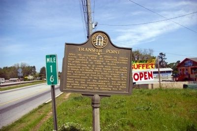
Location. 33° 38.74′ N, 84° 23.416′ W. Marker is in Mountain View, Georgia, in Clayton County. Marker is on Old Dixie Highway (U.S. 41 at milepost 16), 0.1 miles north of Conley Road, on the left when traveling south. Touch for map. Marker is in this post office area: Atlanta GA 30354, United States of America. Touch for directions.
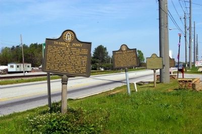
Other nearby markers. At least 8 other markers are within 3 miles of this marker, measured as the crow flies. Rough and Ready (here, next to this marker); Jonesboro Threatened (a few steps from this marker); Rough and Ready Tavern (a few steps from this marker); Chick-fil-A (approx. 1.1 miles away); Hapeville, Georgia (approx. 1.4 miles away); Historic Christ Church, Hapeville (approx. 1½ miles away); Delta Air Lines (approx. 1.8 miles away); Mt. Zion Methodist Church (approx. 2.4 miles away). Touch for a list and map of all markers in Mountain View.
More about this marker. Marker is .1 mile south of the Fulton County line.
Additional commentary.
1. Four Markers Missing?
While trying to look on Google streetview (as of Nov 2016) of this alignment of many markers along U.S. 41, I was unable to see any of them. Can anyone please verify these markers still are here?
— Submitted March 2, 2017, by Mark Hilton of Montgomery, Alabama.
Credits. This page was last revised on March 2, 2017. It was originally submitted on April 27, 2009, by David Seibert of Sandy Springs, Georgia. This page has been viewed 1,437 times since then and 16 times this year. Photos: 1, 2, 3. submitted on April 27, 2009, by David Seibert of Sandy Springs, Georgia. • Craig Swain was the editor who published this page.


