Deadwood in Lawrence County, South Dakota — The American Midwest (Upper Plains)
Radial Brick Smokestack
— A Trail to Deadwood's Past —
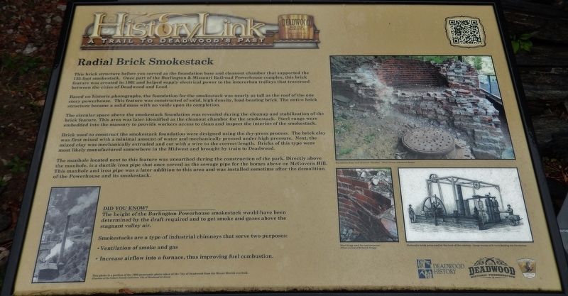
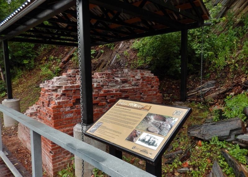
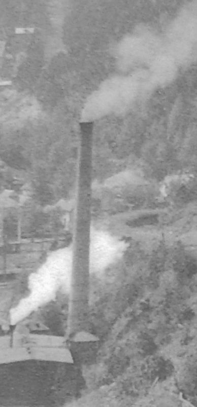
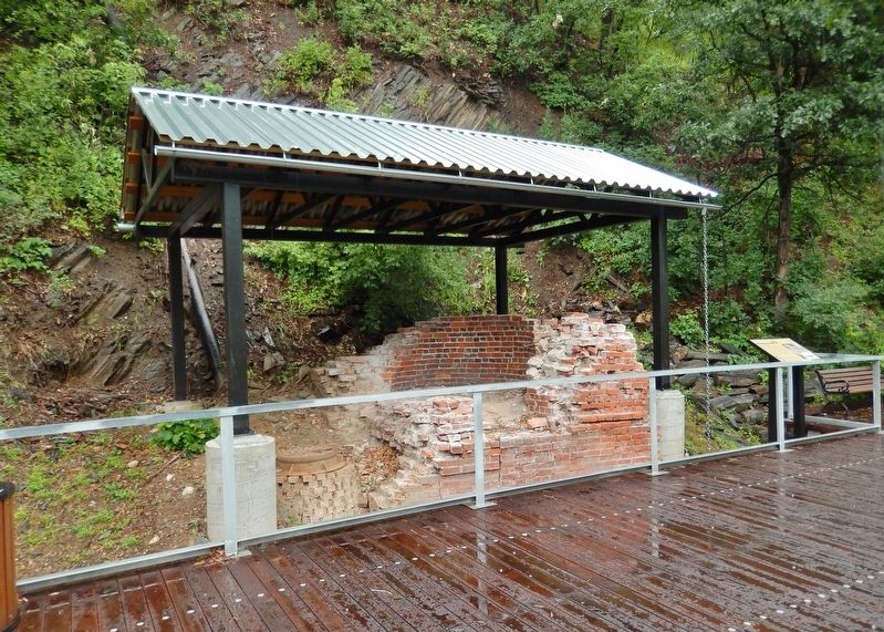
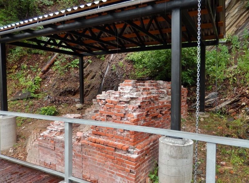
Based on historic photographs, the foundation for the smokestack was nearly as tall as the roof of the one story powerhouse. This feature was constructed of solid, high density, load-bearing brick. The entire brick structure became a solid mass with no voids upon its completion.
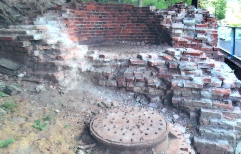
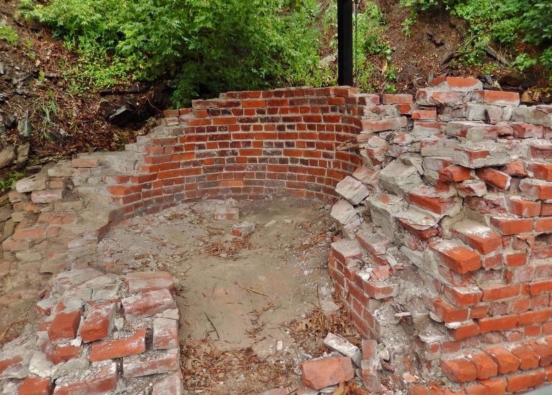
The circular space above the smokestack foundation was revealed during the cleanup and stabilization of the brick feature. This area was later identified as the cleanout chamber for the smokestack. Steel rungs were embedded into the masonry to provide workers access to clean and inspect the interior of the smokestack.
Brick used to construct the smokestack foundation were designed using the dry-press process. The brick clay was first mixed with a minimal amount of water and mechanically pressed under high pressure. Next, the mixed clay was mechanically extruded and cut with a wire to the correct length. Bricks of this type were most likely manufactured somewhere in the Midwest and brought by train to Deadwood.
The manhole located next to this feature was unearthed during the construction of the park. Directly above the manhole, is a ductile iron pipe that once served as the sewage pipe for the homes above on McGovern Hill. This manhole and iron pipe was a later addition to this area and was installed sometime after the demolition of the Powerhouse and its smokestack.
DID YOU KNOW?
The height of the Burlington Powerhouse smokestack would have been determined by the draft required and to get smoke and gases above the stagnant valley air.
Smokestacks are a type of industrial chimneys that serve two purposes:
• Ventilation of smoke and gas
• Increase airflow into a furnace, thus improving fuel combustion.
Erected by The Deadwood Historic Preservation Commission; South Dakota Department of Game, Fish and Parks.
Topics. This historical marker is listed in these topic lists: Industry & Commerce • Man-Made Features. A significant historical year for this entry is 1901.
Location. 44° 22.282′ N, 103° 43.736′ W. Marker is in Deadwood, South Dakota, in Lawrence County. Marker can be reached from the intersection of Charles Street (CanAm Highway) (U.S. 85) and Cedar Lane, on the right when traveling south. Located in Deadwood's Powerhouse Park, along the Whitewood Creek boardwalk. Touch for map. Marker is at or near this postal address: 32 Charles St, Deadwood SD 57732, United States of America. Touch for directions.
Other nearby markers. At least 8 other markers are within walking distance of this marker. Interurban Trolley (here, next to this marker); Burlington Interurban Power Plant (a few steps from this marker); The Resilient Whitewood Creek (within shouting distance of this marker); The Smokestack - Reconstructed (within shouting distance of this marker); George S. Mickelson Trail (about 300 feet away, measured in a direct line); Chicago Burlington & Quincy Railroad Yard (about 300 feet away); McGovern Hill (about 400 feet away); The Presidential District (about 500 feet away). Touch for a list and map of all markers in Deadwood.
More about this marker. Marker is a large composite plaque, mounted horizontally on waist-high posts.
Credits. This page was last revised on October 10, 2021. It was originally submitted on August 3, 2018, by Cosmos Mariner of Cape Canaveral, Florida. This page has been viewed 347 times since then and 47 times this year. Last updated on October 9, 2021, by Connor Olson of Kewaskum, Wisconsin. Photos: 1. submitted on August 3, 2018, by Cosmos Mariner of Cape Canaveral, Florida. 2, 3, 4, 5, 6. submitted on August 4, 2018, by Cosmos Mariner of Cape Canaveral, Florida. 7, 8. submitted on August 14, 2018, by Cosmos Mariner of Cape Canaveral, Florida. • Mark Hilton was the editor who published this page.
