Pensacola in Escambia County, Florida — The American South (South Atlantic)
A Spanish Town
— Florida's Territorial Bicentennial —
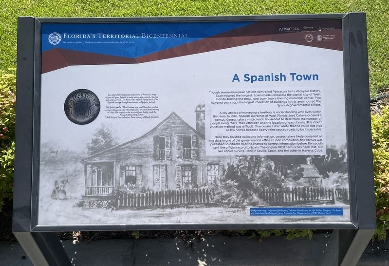
A key aspect of managing a territory is understanding who lives within that area. In 1820, Spanish Governor of West Florida José Callava ordered a census. Census takers visited each household to determine the number of people living there, their ethnicity, and the location of each family. This direct visitation method was difficult. One census taker wrote that he could not visit all the homes because heavy rains caused roads to be impassable.
Once they finished collecting information, census takers likely compiled all the data in one of the governmental offices. Upon completion, the census was published so citizens had the chance to correct information before Pensacola sent the official record to Spain. The original 1820 census has been lost, but two copies survive - one in Seville, Spain, and the other in Havana, Cuba.
Even after the United States took control of Pensacola, many citizens still spoke Spanish in social settings and conducted business with older currency. The fabric of the city still displays much of its Spanish heritage through street names and popular festivals.
The Spanish reale (RE-al) shown here would have been used as coinage in Pensacola before Florida became a United States territory in 1821. The original reale is currently on display inside the Pensacola Museum of History.
(UWF Historic Trust collection; Photo courtesy of Micah Minnocci)
This marker is a product of Florida's territorial bicentennial celebration on July 17, 2021
Background image: Depiction of the house of Celestino Gonzalez and his wife, Pauline Graupera. The home was located near Seville Square, facing Pensacola Bay. (Image courtesy of UWF Historic Trust)
Erected 2021 by City of Pensacola, Escambia County, UWF Archaeology Institute, Florida Public Archaeology Network, University of West Florida Public Trust.
Topics. This historical marker is listed in these topic lists: Colonial Era • Settlements & Settlers. A significant historical year for this entry is 1820.
Location. 30° 24.517′ N, 87° 12.8′ W. Marker is in Pensacola, Florida, in Escambia County. Marker is at the intersection of South Jefferson Street and Zaragoza Street, on the right when traveling north on South Jefferson Street. Located in front
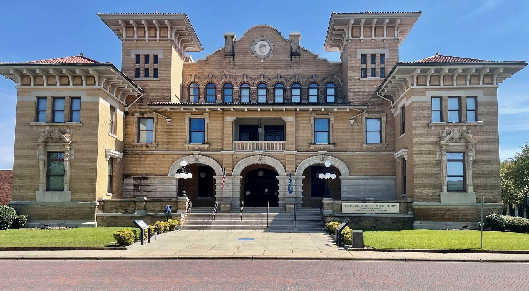
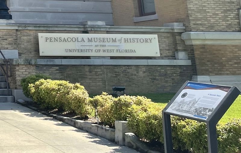
of the Pensacola Museum of History. Touch for map. Marker is at or near this postal address: 330 S Jefferson St, Pensacola FL 32502, United States of America. Touch for directions.
Other nearby markers. At least 8 other markers are within walking distance of this marker. Finding 1821 (a few steps from this marker); Officer's Room and Kitchen (a few steps from this marker); Trenches & Trous-de-Loup (a few steps from this marker); Votes for Women (a few steps from this marker); Old Escambia County Court of Record Building (1912-1978)/Pensacola Little Theater-Pensacola Cultural (within shouting distance of this marker); Stop and Smell the Roses (within shouting distance of this marker); Transfer of Spanish Florida to the United States (within shouting distance of this marker); Gen. Andrew Jackson (within shouting distance of this marker). Touch for a list and map of all markers in Pensacola.
Additional commentary.
1. Building's name was changed.
Formerly the T.T. Wentworth Jr. Florida State Museum and the Pensacola City Hall, the name of the building was changed, in 2021, to the Pensacola Museum of History at the University of West Florida. Documents provided by the Wentworth family reflected that T.T. Wentworth was a leader of the local chapter of the Ku Klux Klan (KKK).
— Submitted October 10, 2021, by Mark Hilton of Montgomery, Alabama.
Credits. This page was last revised on October 10, 2021. It was originally submitted on October 10, 2021, by Mark Hilton of Montgomery, Alabama. This page has been viewed 316 times since then and 38 times this year. Photos: 1, 2, 3. submitted on October 10, 2021, by Mark Hilton of Montgomery, Alabama.


