Grand Forks in Grand Forks County, North Dakota — The American Midwest (Upper Plains)
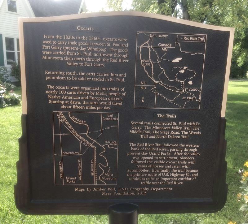
Oxcarts
Returning south, the carts carried furs and pemmican to be sold or traded in St. Paul.
The oxcarts were organized into trains of nearly 100 carts driven by Metis; people of Native American and European descent. Starting at dawn, the carts would travel about fifteen miles per day.
The Trails
Several trails connected St. Paul with Ft. Garry: The Minnesota Valley Trail, The Middle Trail, The Stage Road, The Woods Trail and North Dakota Trail
The Red River Trail followed the western bank of the Red River, passing through present-day Grand Forks. After the valley was opened to settlement, pioneers followed the visible oxcart trails with teams of horses and later, with automobiles. Eventually the trail became the primary route of U.S. Highway 81, and continues to be an important corridor of traffic near the Red River.
Maps by Amber Boll, UND Geography Department
Erected 2012 by Myra Foundation.
Topics. This historical marker is listed in these topic lists: Roads & Vehicles • Settlements & Settlers.
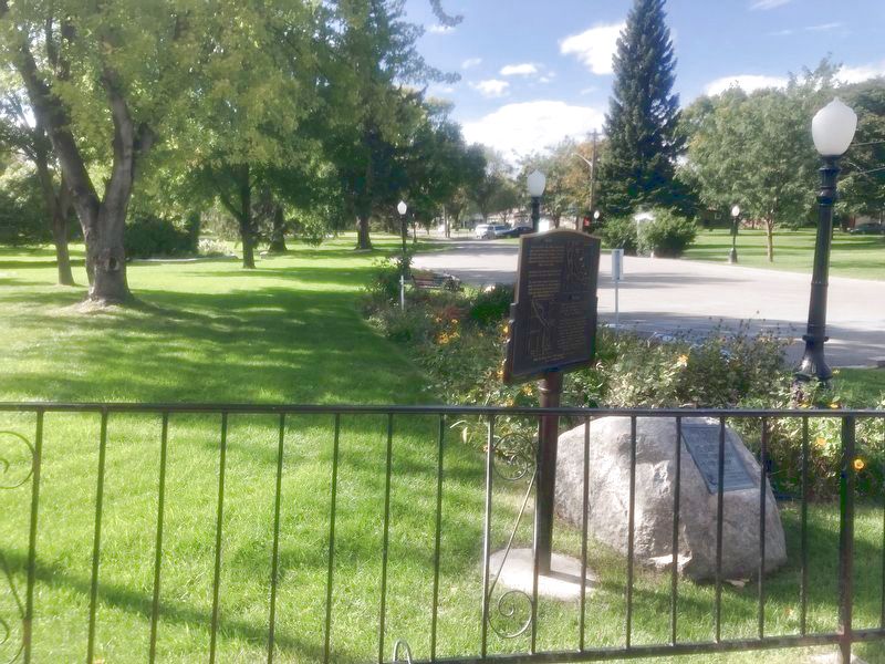
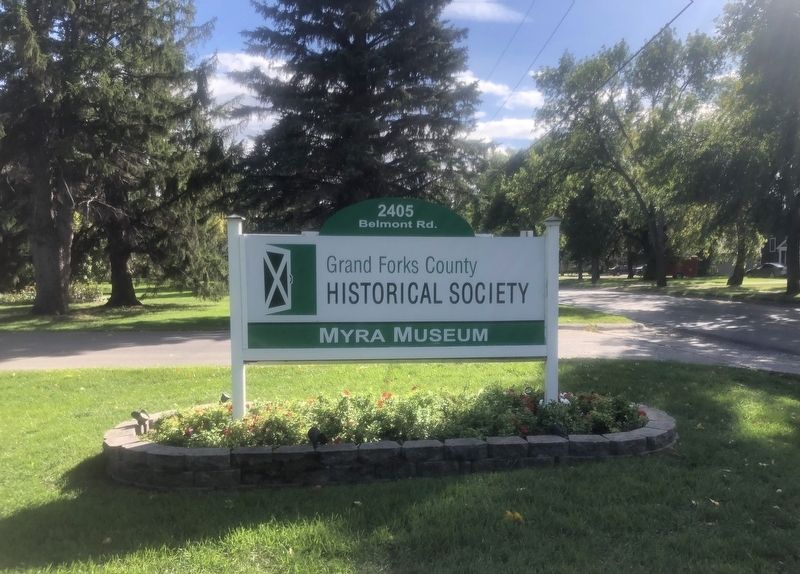
Location. 47° 53.787′ N, 97° 1.681′ W. Marker is in Grand Forks, North Dakota, in Grand Forks County. Marker can be reached from the intersection of Belmont Road and 24th Avenue South, on the right when traveling north. Located at the Myra Museum. Touch for map. Marker is at or near this postal address: 2405 Belmont Rd, Grand Forks ND 58203, United States of America. Touch for directions.
Other nearby markers. At least 8 other markers are within one mile of this marker, measured as the crow flies. The Old Red River Ox-Cart Trail (here, next to this marker); Campbell House (a few steps from this marker); Fannie Mahood Heath Memorial Garden (within shouting distance of this marker); Grand Forks' First Post Office (within shouting distance of this marker); North Dakota's Oldest Concrete Pavement (within shouting distance of this marker); Blooming 46 School House (within shouting distance of this marker); Lustron (about 300 feet away, measured in a direct line); Lincoln Drive - a neighborhood history (approx. one mile away). Touch for a list and map of all markers in Grand Forks.
Also see . . . Myra Museum. (Submitted on October 11, 2021, by Ruth VanSteenwyk of Aberdeen, South Dakota.)
Credits. This page was last revised on October 11, 2021. It was originally submitted on October 11, 2021, by Ruth VanSteenwyk of Aberdeen, South Dakota. This page has been viewed 120 times since then and 9 times this year. Photos: 1, 2, 3. submitted on October 11, 2021, by Ruth VanSteenwyk of Aberdeen, South Dakota. • Mark Hilton was the editor who published this page.


