Near Deadwood in Lawrence County, South Dakota — The American Midwest (Upper Plains)
Buttes
(Pronounced BYOOT)
— Black Hills National Forest —
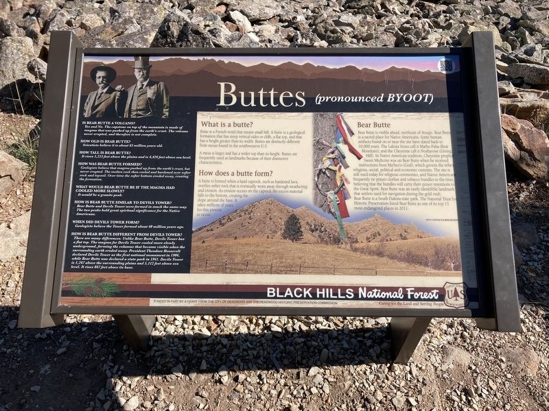
Butte is a French word that means small hill. A butte is a geological formation that has steep vertical sides or cliffs, a flat top, and that has a height greater than its width. Buttes are distinctly different from mesas found in the southwestern U.S.
A mesa is larger and has a wider top than its height. Buttes are frequently used as landmarks because of their distinctive characteristics.
How does a butte form?
A butte is formed when a hard caprock, such as hardened lava, overlies softer rock that is eventually worn away through weathering and erosion. As erosion occurs on the caprock the excess material falls to the bottom, creating the slope around the base. It takes millions of years for this process to occur.
Bear Butte
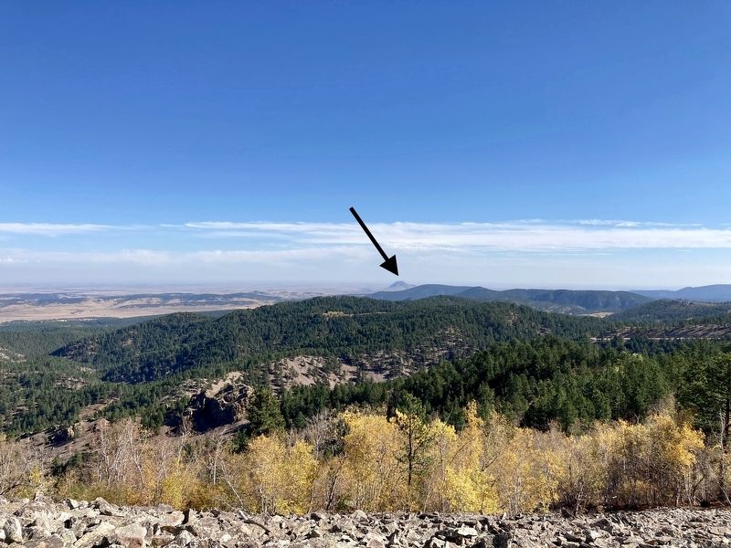
Bear Butte is visible ahead, northeast of Sturgis. Bear Butte is a sacred place for Native Americans. Some human artifacts found on or near the site have dated back to 10,000 years. The Lakota Sioux call it Matho Paha (Bear Mountain), and the Cheyenne call it Noahavose (Giving Hill). In Native American tradition, Cheyenne prophet Sweet Medicine was on Bear Butte when he received instructions from Ma'heo'o (God), which govern the tribe's religious, social, political and economic customs. The site is still used today for religious ceremonies, and Native Americans frequently tie prayer clothes and tobacco bundles to the trees, believing that the bundles will carry their prayer intentions to the Great Spirit. Bear Butte was an easily identifible landmark that settlers used for navigation during the gold rush. Bear Butte is a South Dakota state park. The National Trust for Historic Preservation listed Bear Butte as one of its top 11 most endangered places in 2011.
Is Bear Butte a volcano?
Yes and No. The capstone on top of the mountain is made of magma that was pushed up from the earth's crust. The volcano never erupted, and therefore is not complete.
How old is Bear Butte?
Scientists believe it is about 65 million years old.
How tall is Bear Butte?
It rises 1,253 feet above the plains and is 4,426 feet above sea level.
How was Bear Butte formed?
Geologists believe that magma pushed up from the earth's crust, but never erupted. The molten rock then cooled and hardened over softer rock and topsoil. Over time the softer bottom eroded away, creating the formation.
What would Bear Butte be if the magma had cooled more slowly?
It would be a granite peak.
How is Bear Butte similar to Devils Tower?
Bear Butte and Devils Tower were formed in much the same way. The two peaks hold great spiritual significance for the Native Americans.
When did Devils Tower Form?
Geologists believe the Tower formed about 40 million years ago.
How is Bear Butte Different from Devils Tower?
There are many differences. Unlike Bear Butte, Devils Tower has a flat top. The magma for Devils Tower cooled more slowly underground, forming the columns that became visible when the surrounding earth eroded away. President Theodore Roosevelt declared Devils Tower as the first national monument in 1906, while Bear Butte was declared a state park in 1961. Devils Tower is 1,267 above the surrounding plains and 5,112 feet above sea level. It rises 867 feet above its base.
Erected by US Forest Service, Department of Agriculture; City of Deadwood; Deadwood Historic Preservation Commission.
Topics. This historical marker is listed in this topic list: Natural Features. A significant historical year for this entry is 2011.
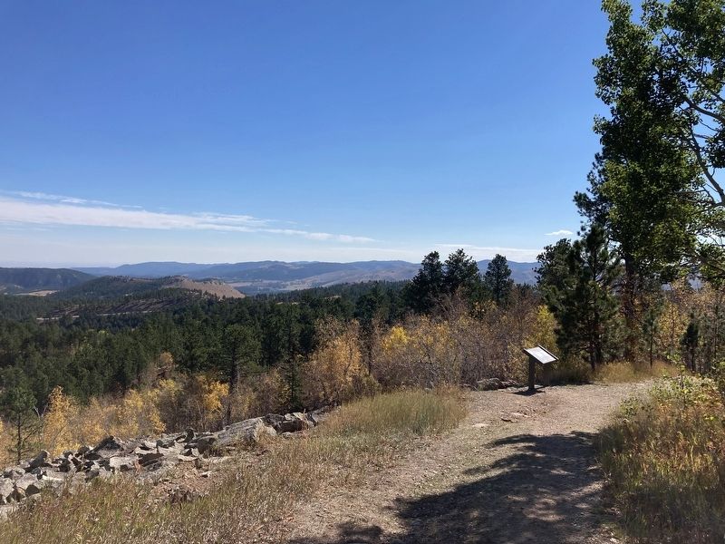
Location. 44° 23.878′ N, 103° 45.439′ W. Marker is near Deadwood, South Dakota, in Lawrence County. Marker can be reached from Mount Roosevelt Road west of Stage Run Road. Located on the Mount Roosevelt Trail. Touch for map. Marker is in this post office area: Deadwood SD 57732, United States of America. Touch for directions.
Other nearby markers. At least 8 other markers are within 2 miles of this marker, measured as the crow flies. Theodore Roosevelt “The American” (about 500 feet away, measured in a direct line); Mount Roosevelt (about 500 feet away); Mining & Logging (about 600 feet away); Center of the Country (about 700 feet away); Where It All Begins (about 800 feet away); The Cowboy & The Conservationist (about 800 feet away); Preacher Smith of Deadwood Gulch (approx. 1.9 miles away); St. Johns Episcopal Church, Est. 1880 (approx. 1.9 miles away). Touch for a list and map of all markers in Deadwood.
Credits. This page was last revised on October 15, 2021. It was originally submitted on October 11, 2021, by Connor Olson of Kewaskum, Wisconsin. This page has been viewed 135 times since then and 21 times this year. Photos: 1, 2, 3. submitted on October 11, 2021, by Connor Olson of Kewaskum, Wisconsin. • Mark Hilton was the editor who published this page.


