Near Perry in Washington County, Maine — The American Northeast (New England)
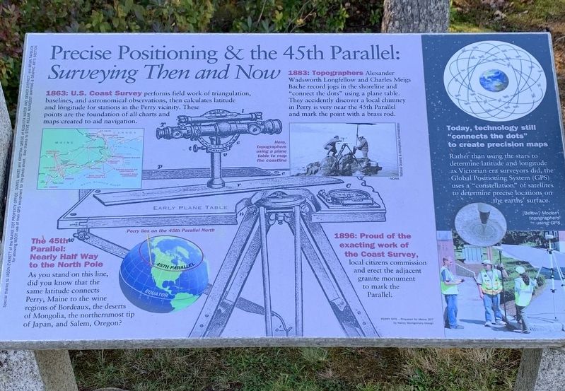
Precise Positioning and the 45th Parallel
Surveying Then and Now
Inscription.
1863: U.S. Coast Survey performs field work of triangulation,baselines, and astronomical observations, then calculates latitude and longitude for stations in the Perry vicinity. These points are the foundation of all charts and maps created to aid navigation.
1883: Topographers Alexander Wadsworth Longfellow and Charles Meigs Bache record jogs in the shoreline and "connect the dots” using a plane table. They accidently discover a local chimney in Perry is very near the 45th Parallel and mark the point with a brass rod.
Here, topographers using a plane table to map the coastline
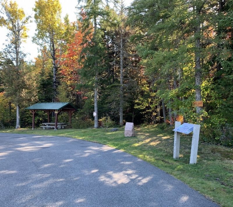
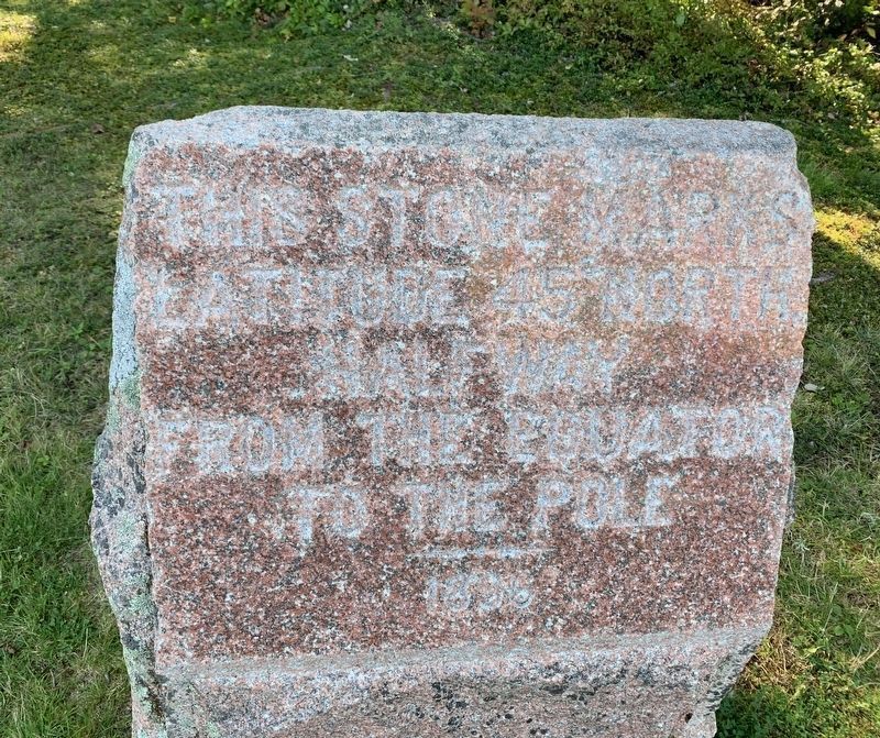
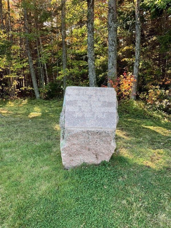
1896: Proud of the exacting work of the Coast Survey, local citizens commission and erect the adjacent granite monument to mark the Parallel.
45TH PARALLEL: Nearly Half Way to the North Pole
As you stand on this line, did you know that the same latitude connects Perry, Maine to the wine regions of Bordeaux, the deserts of Mongolia, the northernmost tip of Japan, and Salem, Oregon?
Today, technology still "connects the dots" to create precision maps. Rather than using the stars to determine latitude and longitude as Victorian era surveyors did, the Global Positioning System (GPS). uses a "constellation” of satellites to determine precise locations on the earth’s surface.
[Below] Modern topographers using GPS
PERRY SITE-Prepared for Maine DOT by Nancy Montgomery Design
Special thanks to JASON EVERETT of the MAINE DOT PROPERTY OFFICE; DANIEL WHITE and KRISTINA GREGG of AUGUSTA WATER AND SEWER DISTRICT, and BRIAN TARBUCK for allowing MDOT use of their GPS equipment for the photo shoot. Also thanks to STEVE KILLAM, MAINEDOT MAPPING & GRAPHIC ARTS SECTION National Oceanic & Atmospheric Administration
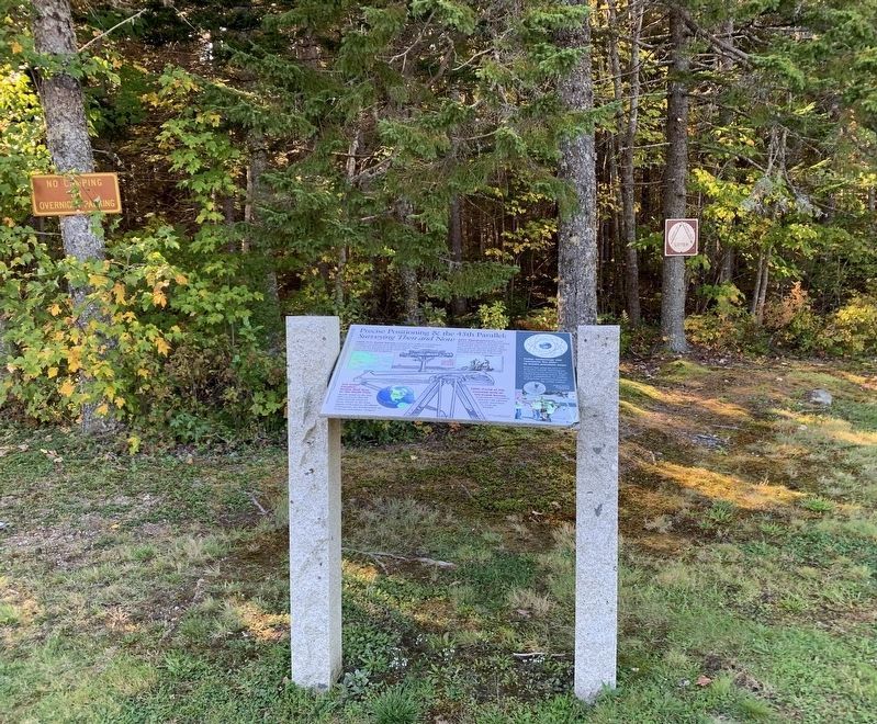
Erected by Maine Department of Transportation.
Topics. This historical marker is listed in these topic lists: Exploration • Science & Medicine. A significant historical year for this entry is 1863.
Location. 44° 59.986′ N, 67° 5.323′ W. Marker is near Perry, Maine, in Washington County. Marker is on South River Road (U.S. 1) 1.8 miles north of County Route 190, on the left when traveling north. Touch for map. Marker is in this post office area: Perry ME 04667, United States of America. Touch for directions.
Other nearby markers. At least 8 other markers are within 10 kilometers of this marker, measured as the crow flies. St. Croix River (approx. 5.4 miles away in Canada); Lest We Forget (approx. 8.7 kilometers away in Canada); St. Andrews Historic District (approx. 8.7 kilometers away in Canada); Welcome, Enjoy your visit! (approx. 8.8 kilometers away in Canada);
Wartime legacies (approx. 8.8 kilometers away in Canada); Two hundred years and counting (approx. 8.8 kilometers away in Canada); War of 1812: Defending St. Andrews (approx. 8.9 kilometers away in Canada); Blockhouse 101 (approx. 8.9 kilometers away in Canada).
More about this marker. The main image on the marker shows an early plane table.
Related marker. Click here for another marker that is related to this marker. 45th Parallel marker in New Hampshire
Credits. This page was last revised on October 17, 2021. It was originally submitted on October 12, 2021, by Steve Stoessel of Niskayuna, New York. This page has been viewed 283 times since then and 42 times this year. Photos: 1, 2, 3. submitted on October 12, 2021, by Steve Stoessel of Niskayuna, New York. 4, 5. submitted on October 17, 2021, by Don Jones of Florence, Alabama. • Bill Pfingsten was the editor who published this page.
