Greenville in Wayne County, Missouri — The American Midwest (Upper Plains)
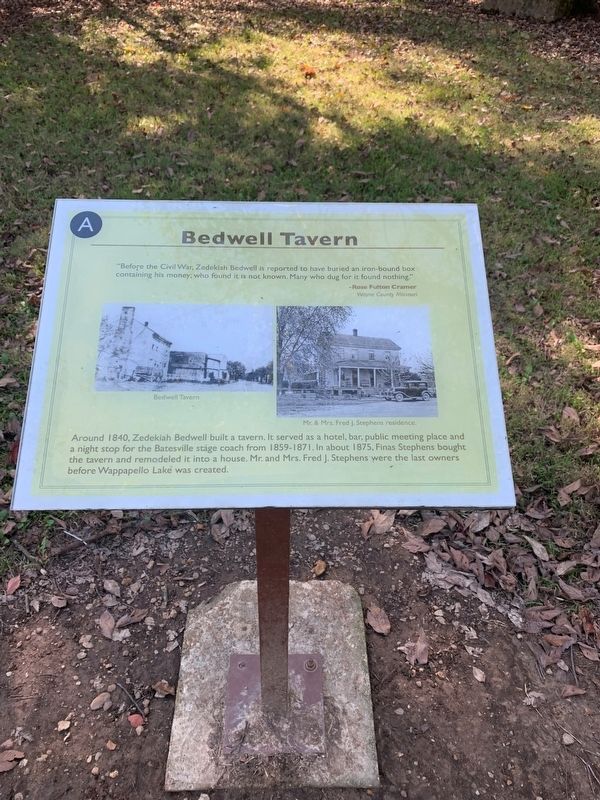
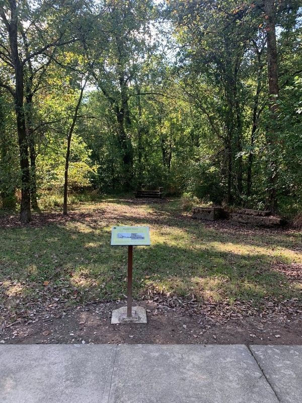
Bedwell Tavern
"Before the Civil War, Zedekiah Bedwell is reported to have buried an iron-bound box containing his money: who found it is not known. Many who dug for it found nothing."
Rose Fulton Cramer
Wayne County Missouri
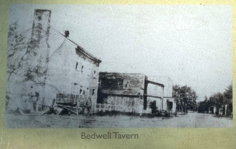
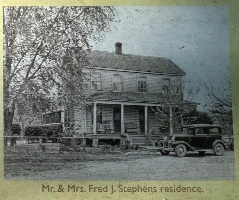
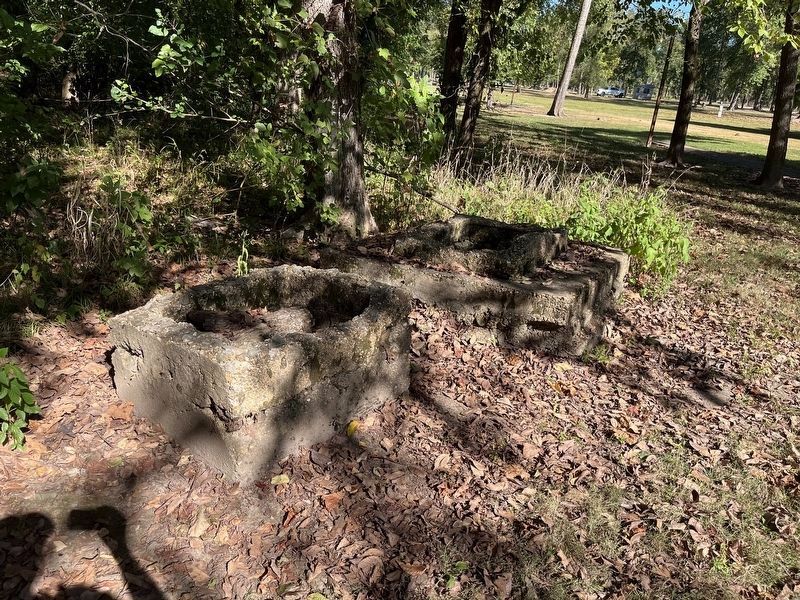
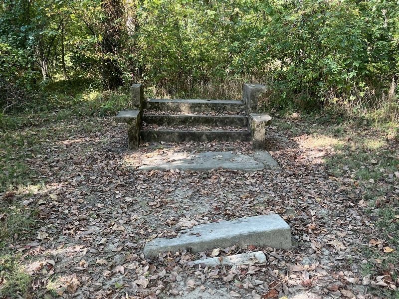
Around 1840, Zedekiah Bedwell built a tavern. It served as a hotel, bar, public meeting place and a night stop for the Batesville Stage Coach from 1859-1871. In about 1875, Finas Stephens bought the tavern and remodeled it into a house. Mr. and Mrs. Fred J Stephens were the last owners before Wappapello Lake was created. (Marker Number A.)
Topics. This historical marker is listed in this topic list: Industry & Commerce. A significant historical year for this entry is 1840.
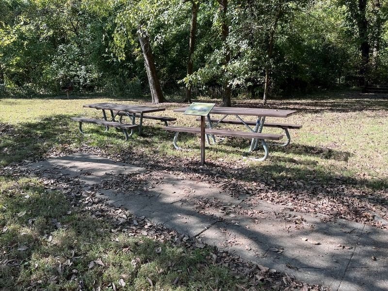
Location. 37° 5.931′ N, 90° 27.343′ W. Marker is in Greenville, Missouri, in Wayne County. Marker can be reached from U.S. 67, 0.2 miles County Road 221, on the right when traveling south. Located on the "Memory Lane" trail through Old Greenville, inside the Greenville Recreation Area, Wappapello Lake. Touch for map. Marker is in this post office area: Greenville MO 63944, United States of America. Touch for directions.
Other nearby markers. At least 8 other markers are within walking distance of this marker. Old Greenville - Hiram N. Hollady's Company Town (within shouting distance of this marker); Old Greenville's Timmons Street Business District (about 300 feet away, measured in a direct line); Memory Lane (about 300 feet away); Alice J. Curtice Moyer-Wing , The Ozark Suffragist (about 300 feet away); Old Greenville - April 22, 1939 (about 300 feet away); Old Greenville in 1940 - Before the Wappapello Dam (about 300 feet away); Memory Lane Trail (about 300 feet away); St. Francis Hotel (about 400 feet away). Touch for a list and map of all markers in Greenville.
Credits. This page was last revised on November 11, 2022. It was originally submitted on October 12, 2021, by Thomas Smith of Waterloo, Ill. This page has been viewed 158 times since then and 13 times this year. Photos: 1. submitted on October 12, 2021, by Thomas Smith of Waterloo, Ill. 2, 3, 4. submitted on November 11, 2022, by Craig Swain of Leesburg, Virginia. 5. submitted on October 12, 2021, by Thomas Smith of Waterloo, Ill. 6, 7. submitted on November 11, 2022, by Craig Swain of Leesburg, Virginia. • Devry Becker Jones was the editor who published this page.
