Near Deadwood in Lawrence County, South Dakota — The American Midwest (Upper Plains)
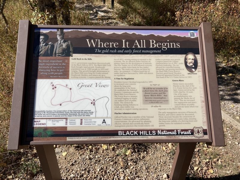
Where It All Begins
The gold rush and early forest management
— Black Hills National Forest —
- Theodore Roosevelt
Gold Rush in the Hills
A U.S. government expedition discovered gold in the Black Hills in 1874. The Black Hills Gold Rush brought rapid growth. Deadwood's population was at 5,000 people in 1876 and surging. That growth brought deforestation to the Black Hills stretching for 8 miles around Deadwood. Builders and miners set up a working economy. Congress passed the Mining Act of 1872, viewing mining as essential to economy. The Act allowed timber harvests on mining claims for the development of minerals. The Free Timber Act of 1878 allowed everyone access to public forest lands for miles. An estimated 1.5 billion board feet of the Black Hills Forest Reserve. timber had been harvested by 1898 with almost no regulation.
A Time for Regulation
President Grover Cleveland responded in 1897, to increased voter concern about the long-term sustainability of the forest. He establish the National Forestry Commission and the Black Hills Forest Reserve. The Forest Reserve measure outlawed logging on nearly one million acres of public lands. This slowed the booming mining industry to a halt since timber was necessary to support mining operations.
it will be no wonder if in a short time the dark pine forest is gone and the name Black Hills has become meaningless.
-1892 USDA field agent’s response to Black Hills visit
Pinchot Administration
Gifford Pinchot was a member of the National Forestry Commission and in enthusiastic Conservationist. He advocated for adapting efficient, rational and scientifically based management practices that would remove old timber to promote new growth. Congress passed the Organic Administration Act of 1897, under Pinchot’s leadership. The Act allowed for controlled mining, lumbering, and grazing interest in the Black Hills Forest Reserve. Pinchot’s good friend Theodore Roosevelt appointed Pinchot as the first head of the U.S. Forest Service in 1905.
Graves Rises
Henry Graves succeeded Pinchot as the chief of the U.S. Forest Service five years later. Graves served as the USFS chief for 10 years. One of his major accomplishments was passing the Weeks Act of 1911. This act increased fire suppression and insect control efforts and public and private lands which was important to the Black Hills.
The early management successes of Roosevelt, Pinchot, and Graves cannot be discounted. Those successes became the cornerstone of American forestry as it exists today, ensuring the long-term viability of a thriving forest and timber source for a sustained economic growth.
Erected by US Forest Service, Department of Agriculture; City of Deadwood; Deadwood Historic Preservation Commission.
Topics. This historical marker is listed in these topic lists: Horticulture & Forestry • Industry & Commerce. A significant historical year for this entry is 1874.
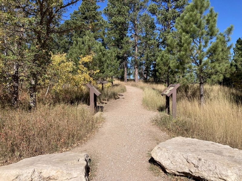
Location. 44° 23.819′ N, 103° 45.278′ W. Marker is near Deadwood, South Dakota, in Lawrence County. Marker is on Mount Roosevelt Road west of Stage Run Road, on the right when traveling west. Located at the Mount Roosevelt Trailhead. Touch for map. Marker is in this post office area: Deadwood SD 57732, United States of America. Touch for directions.
Other nearby markers. At least 8 other markers are within 2 miles of this marker, measured as the crow flies. The Cowboy & The Conservationist (here, next to this marker); Buttes (about 800 feet away, measured in a direct line); Mining & Logging (approx. 0.2 miles away); Mount Roosevelt (approx. ¼ mile away); Theodore Roosevelt “The American” (approx. ¼ mile away); Center of the Country (approx. 0.3 miles away); St. Johns Episcopal Church, Est. 1880 (approx. 1.8 miles away); Early Placer Mining Operations in Deadwood (approx. 1.8 miles away). Touch for a list and map of all markers in Deadwood.
Credits. This page was last revised on October 15, 2021. It was originally submitted on October 12, 2021, by Connor Olson of Kewaskum, Wisconsin. This page has been viewed 110 times since then and 12 times this year. Photos: 1, 2. submitted on October 12, 2021, by Connor Olson of Kewaskum, Wisconsin. • Mark Hilton was the editor who published this page.

