Birmingham Township near West Chester in Chester County, Pennsylvania — The American Northeast (Mid-Atlantic)
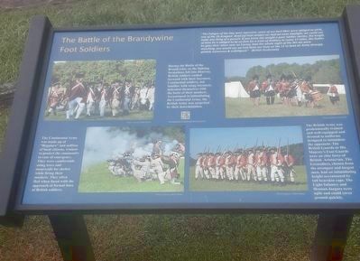
The Battle of the Brandywine Foot Soldiers
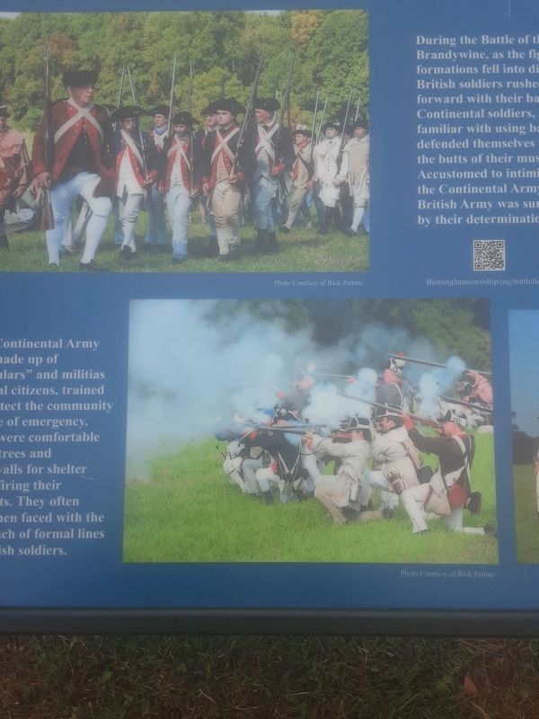
The Continental Army was made up of "Regulars” and militias of local citizens, trained to protect the community in case of emergency. They were comfortable using trees and stonewalls for shelter while firing their muskets. They often fled when faced with the approach of formal lines of British soldiers.
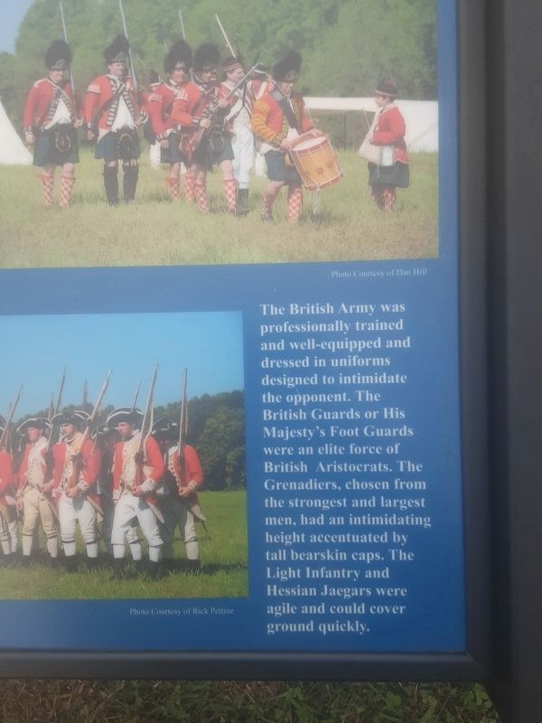
The British Army was professionally trained and well-equipped and dressed in uniforms designed to intimidate the opponent. The British Guards or His Majesty's Foot Guards were an elite force of British Aristocrats. The Grenadiers, chosen from the strongest and largest men, had an intimidating height accentuated by tall bearskin caps. The Light Infantry and Hessian Jaegars were agile and could cover ground quickly.
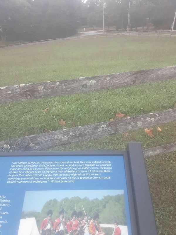
"The Fatigue of the Day were excessive; some of our best Men were obliged to yield, one of the 33 dropped dead [of heat stroke] nor had we even Daylight, we could not make any thing of a pursuit. If you knew the weight a poor Soldier carries, the length of time he is obliged to be on foot for a train of Artillery to move 17 miles, the Duties he goes thro' when near an Enemy, that the whole night of the 9th we were marching, you would say we had done our Duty on the 11 to beat an Army strongly posted, numerous & unfatigued.” (British lieutenant)
Birminghamtownship.org/battlefield.html
Topics. This historical marker is listed in this topic list: War, US Revolutionary.
Location. 39° 54.267′ N, 75° 35.634′ W. Marker is near West Chester, Pennsylvania, in Chester County. It is in Birmingham Township. Marker is on S. Birmingham Road, 0.1 miles south of Meetinghouse Road, on the right when traveling south. Reach by starting NW on the trail from Birmingham Hill marker. Touch for map. Marker is in this post office area: West Chester PA 19382, United States of America. Touch for directions.
Other nearby markers. At least 8 other markers are within walking distance of this marker. Birmingham Hill (within shouting distance of this marker); On This Native Stone (about 400 feet away, measured in a direct line); First Defense Line (about 400 feet away); Crisis on the Field of Battle, Sept. 11, 1777 (about 400 feet away); Birmingham Friends Meeting House (about 500 feet away); The Friends School at Birmingham Meeting House
(about 500 feet away); In Memory of Those Who Fell (about 500 feet away); The Peace Garden at Birmingham (about 500 feet away). Touch for a list and map of all markers in West Chester.
Regarding The Battle of the Brandywine Foot Soldiers. Photos are of re-enactors because the American Revolution occurred before photography existed.
Credits. This page was last revised on February 7, 2023. It was originally submitted on September 29, 2021, by Carl Gordon Moore Jr. of North East, Maryland. This page has been viewed 297 times since then and 24 times this year. Last updated on October 12, 2021, by Carl Gordon Moore Jr. of North East, Maryland. Photos: 1, 2, 3, 4, 5. submitted on September 29, 2021, by Carl Gordon Moore Jr. of North East, Maryland. • J. Makali Bruton was the editor who published this page.
