Near Greenville in Wayne County, Missouri — The American Midwest (Upper Plains)
Memory Lane
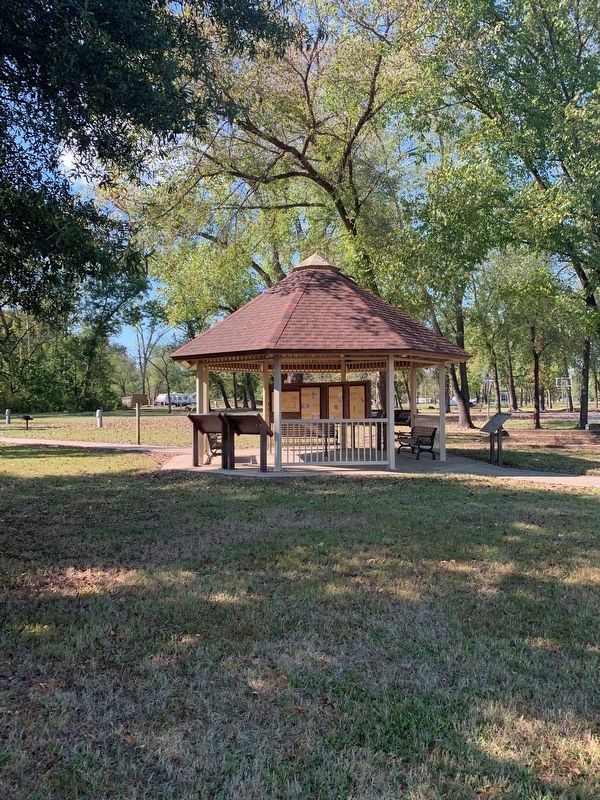
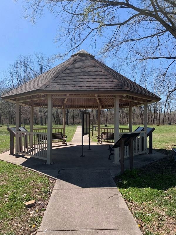
Old Greenville Kiosk
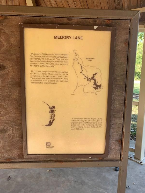
Memory Lane
Welcome to Old Greenville national Historic Site. Because of its historical and archaeological significance, the old town of Greenville was listed on the National Register of Places in March of 1990. Today, this site is commonly referred to as "Old Greenville".
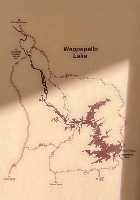
Flood control legislation on the national level for the St. Francis River basin led to the completion of the Wappapello Dam in 1941. The resulting lake level necessitated the move of Greenville to its present site, two miles northeast of its original location.
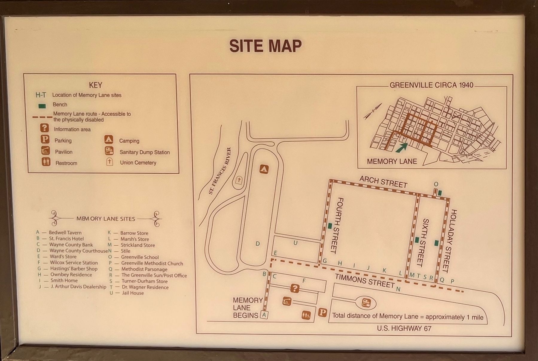
In cooperation with the Wayne County Historical Society, the U.S. Army Corps of Engineers presents Memory Lane a self guided tour of the remaining sidewalks and foundations of a town that existed for nearly 150 years.
(Second Panel):
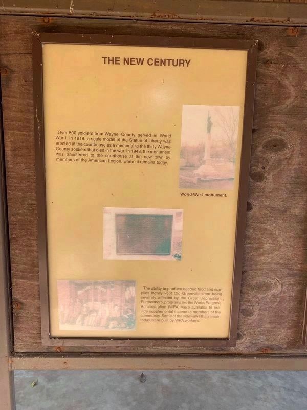
The New Century
Over 500 soldiers from Wayne County served in World War I. In 1917, a scale model of the Statue of Liberty was erected at the courthouse as a memorial to the thirty Wayne County soldiers that died in the war. In 1948, the monument was transferred to the courthouse at the new town by members of the American Legion, where it remains today.
The ability to produce needed food and supplies locally kept Old Greenville from being severely affected by the Great Depression. Furthermore, programs like Works Progress Administration (WPA) were available to provide supplement income to members of the community. Some of the sidewalks that remain today were built by WPA workers.
(Third Panel):
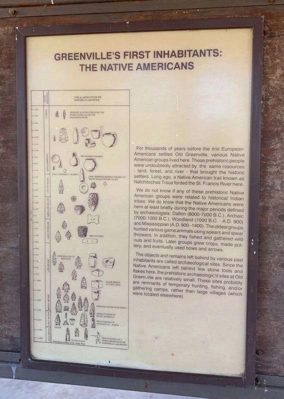
Greenville's First Inhabitants: The Native Americans
For thousands of years before the first European-Americans settled Old Greenville, various Native American groups lived here. These prehistoric people were undoubtedly attracted by the same resources — land, forest, and river — that brought the historic settlers. Long ago, a Native American trail as Natchitoches Trace forded the St. Francis River here.
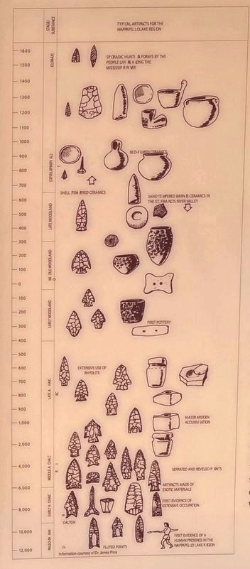
We do not know if any of these prehistoric Native American groups were related to historical Indian tribes. We do know that the Native Americans were here at least briefly during the major periods defined by archaeologists: Dalton (8000-7000 B.C.), Archaic (7000-1000 B.C.), Woodland (1000 - A.D. 900) and Mississippian (A.D. 900 - 1400). The oldest groups hunted various game animals using spars and spear throwers. In addition, they fished and gathered wild nuts and fruits. Later groups grew crops, made pottery, and eventually used bows and arrows.
The objects and remains left behind by various past inhabitants are called archaeological sites. Since the Native Americans left behind few stone tools and flakes here,
the prehistoric archaeological sites at Old Greenville are relatively small. These sites probably are remnants of temporary hunting, fishing, and/or gathering camps, rather than large villages (which were located elsewhere).
(Fourth Panel):
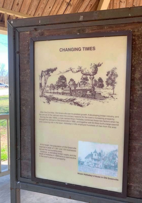
Changing Times
After the Civil War, Old Greenville saw its greatest growth. A developing timber industry, and the arrival of the railroad were the primary reasons for the town's increasing prosperity.
During the late 1800s, a man named Hiram Holladay combined these two factors when he brought the railroad to Old Greenville in 1892, and together with Eli Klotz built a large sawmill and a planing mill in the town. Holladay's mills employed hundreds of men from the area.
At its height, the population of Old Greenville reached a peak of 1,051 and 125 businesses served the surrounding area.
However a dwindling timber supply and the death of Holladay in 1899 led to a rapid decline in the town's period of prosperity.
(Fifth Panel):
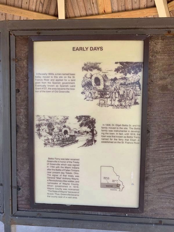
Early Days
In the early 1800s, a man named Isaac Kelley moved to this site on the St. Francis River and applied for a land grant from the Spanish government. Eventually known as Spanish Land Grant #727, the area became the location of the town of Old Greenville.
In 1806, Dr. Elijah Bettis Sr. and his family moved to the site. The Bettis family was instrumental in developing the town. In fact, until 1818, the town was first known as Bettis' Ferry, named for the ferry that Elijah Jr. established on the St. Francis River.
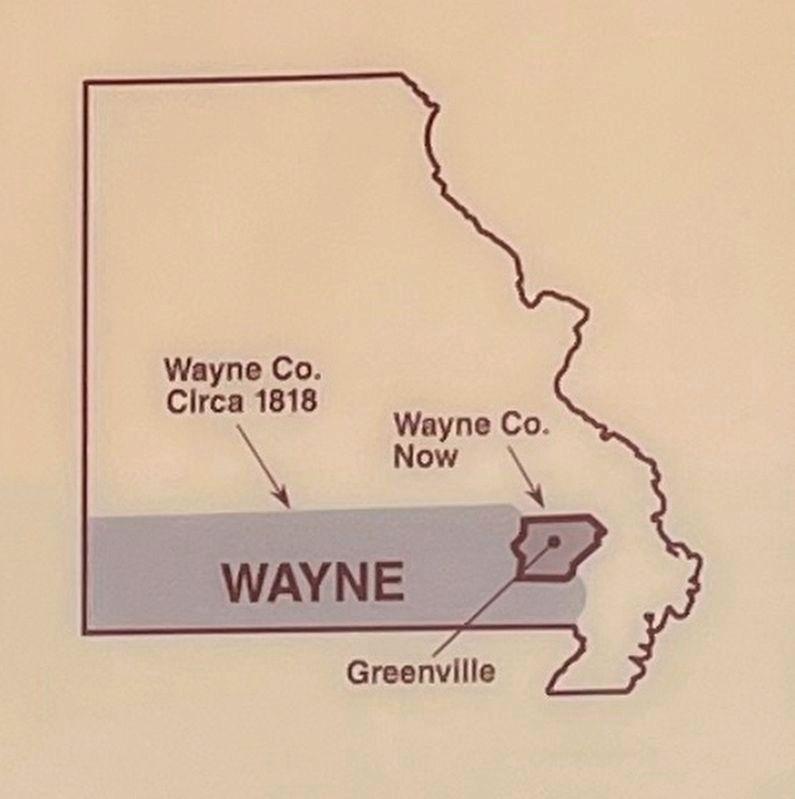
Bettis' Ferry was later renamed Greenville in honor of the Treaty of Greenville which was signed in 1794 with the Miami Indians after the Battle of Fallen Timbers near present day Toledo, Ohio. The signer of that treaty was General "Mad" Anthony Wayne, a Revolutionary War soldier, and namesake of Wayne County. When established in 1818, Wayne County was nicknamed "The State of Wayne" because of its size. Thus, Greenville became the county seat of a vast area.
(Sixth Panel):
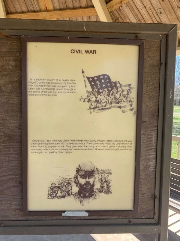
Civil War
As a southern county of a border state, Wayne County was devastated by the Civil War, Old Greenville was occupied by both Union and Confederate forces throughout the course of the war, and was the site of at least one known skirmish.
On July 20, 1862, members of the Twelfth Regiment Cavalry, Missouri State Militia (Union) were attacked by approximately 300 Confederate troops. The Southerners routed the Union men in an early morning surprise attack. They plundered the camp and state supplies including rifles, revolvers, sabers, horses, clothing, and even an ambulance. However, by evening Greenville was once again occupied by Union troops.
(Seventh
Panel)
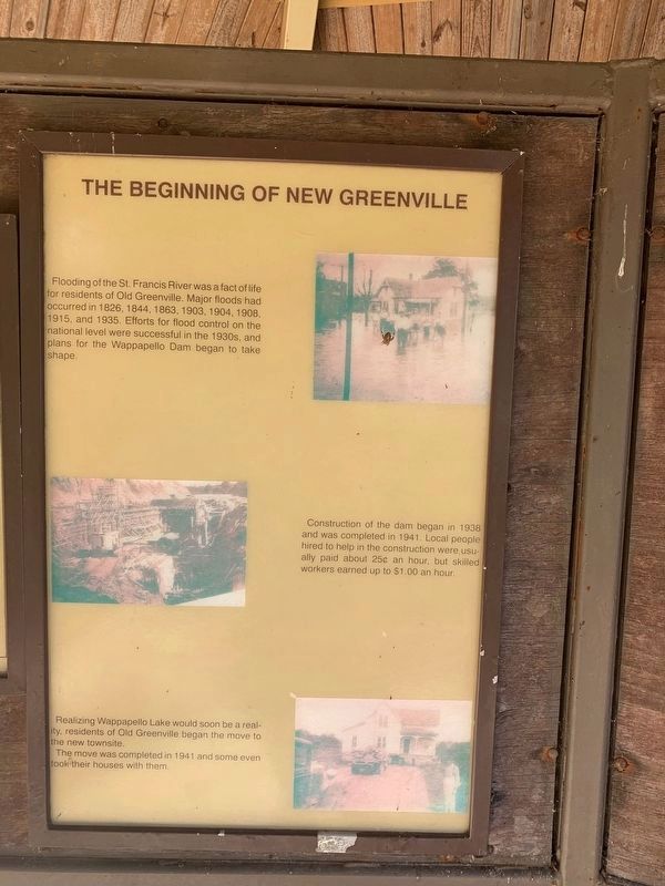
The Beginning of New Greenville
Flooding of the St. Francis River was a fact of life for residents of Old Greenville, major floods had occurred in 1826,1844, 1863, 1904, 1908, 1915, and 1935. Efforts for flood control on the national level were successful in the 1930s and plans for the Wappapello Dam began to take shape.
Construction of the dam began in 1938 and was completed in 1941. Local people hire to help in the construction were usually paid 25˘ an hour. but skilled workers earned up to $ 1.00 an hour.
Realizing Wappapello Lake would soon be a reality, residents of Old Greenville began the move to the new townsite.
The move was completed in 1941 and some even took their houses with them.
Erected by U.S. Army Corps of Engineers.
Topics. This historical marker is listed in these topic lists: Disasters • Settlements & Settlers • War, World I • Waterways & Vessels. A significant historical year for this entry is 1941.
Location. 37° 5.973′ N, 90° 27.321′ W. Marker is near Greenville, Missouri, in Wayne County. Marker can be reached from U.S. 67, 0.2 miles south of County Road 221, on the right when traveling south. The kiosk these markers are part of is located at the start of the "Memory Lane" trail through Old Greensboro, within the Greensboro Recreation Area. Touch for map. Marker is in this post office area: Greenville MO 63944, United States of America. Touch for directions.
Other nearby markers. At least 8 other markers are within walking distance of this marker. Old Greenville - Hiram N. Hollady's Company Town (here, next to this marker); Alice J. Curtice Moyer-Wing , The Ozark Suffragist (here, next to this marker); Old Greenville - April 22, 1939 (here, next to this marker); Old Greenville in 1940 - Before the Wappapello Dam (here, next to this marker); Old Greenville's Timmons Street Business District (here, next to this marker); Memory Lane Trail (a few steps from this marker); Bedwell Tavern (about 300 feet away, measured in a direct line); Wilcox Service Station (about 300 feet away). Touch for a list and map of all markers in Greenville.
Related markers. Click here for a list of markers that are related to this marker. Follow the Memory Lane trail by markers.
Credits. This page was last revised on August 6, 2023. It was originally submitted on October 12, 2021, by Thomas Smith of Waterloo, Ill. This page has been viewed 248 times since then and 31 times this year. Photos: 1, 2. submitted on October 12, 2021, by Thomas Smith of Waterloo, Ill. 3, 4, 5, 6. submitted on March 30, 2021, by Thomas Smith of Waterloo, Ill. 7, 8. submitted on October 12, 2021, by Thomas Smith of Waterloo, Ill. 9. submitted on March 30, 2021, by Thomas Smith of Waterloo, Ill. 10, 11, 12, 13. submitted on November 1, 2022, by Craig Swain of Leesburg, Virginia. • Devry Becker Jones was the editor who published this page.
