Near Goochland in Goochland County, Virginia — The American South (Mid-Atlantic)
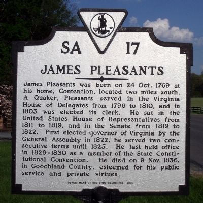
James Pleasants
Erected 1995 by Department of Historic Resources. (Marker Number SA-17.)
Topics and series. This historical marker is listed in this topic list: Churches & Religion. In addition, it is included in the Quakerism, and the Virginia Department of Historic Resources (DHR) series lists. A significant historical date for this entry is October 9, 1836.
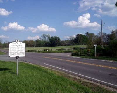
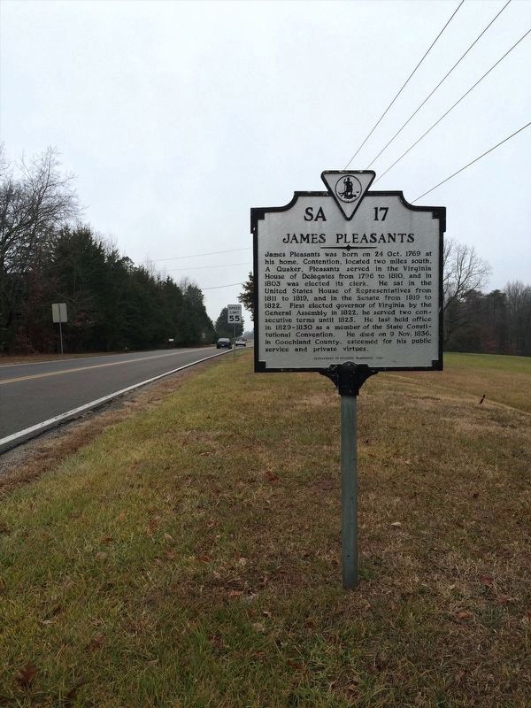
Location. 37° 38.191′ N, 77° 48.314′ W. Marker is near Goochland, Virginia, in Goochland County. Marker is at the intersection of River Road West (Virginia Route 6) and Hunters Woods, on the right when traveling west on River Road West. Touch for map. Marker is in this post office area: Crozier VA 23039, United States of America. Touch for directions.
Other nearby markers. At least 8 other markers are within 3 miles of this marker, measured as the crow flies. First Union School (approx. 1.2 miles away); The 1936 Virginia Prison Recordings (approx. 1.8 miles away); Dahlgren's Raid (approx. 2.2 miles away); Tanglewood Ordinary (approx. 2˝ miles away); Lee’s Last Bivouac (approx. 2.7 miles away); Lee's Last Camp (approx. 2.7 miles away); Lee's Final Bivouac (approx. 2.7 miles away); Sabot Hill (approx. 2.8 miles away). Touch for a list and map of all markers in Goochland.
Credits. This page was last revised on January 13, 2022. It was originally submitted on April 27, 2009, by Bernard Fisher of Richmond, Virginia. This page has been viewed 1,774 times since then and 37 times this year. Photos: 1, 2. submitted on April 27, 2009, by Bernard Fisher of Richmond, Virginia. 3. submitted on January 12, 2022, by Adam Margolis of Mission Viejo, California.


