Croom in Prince George's County, Maryland — The American Northeast (Mid-Atlantic)
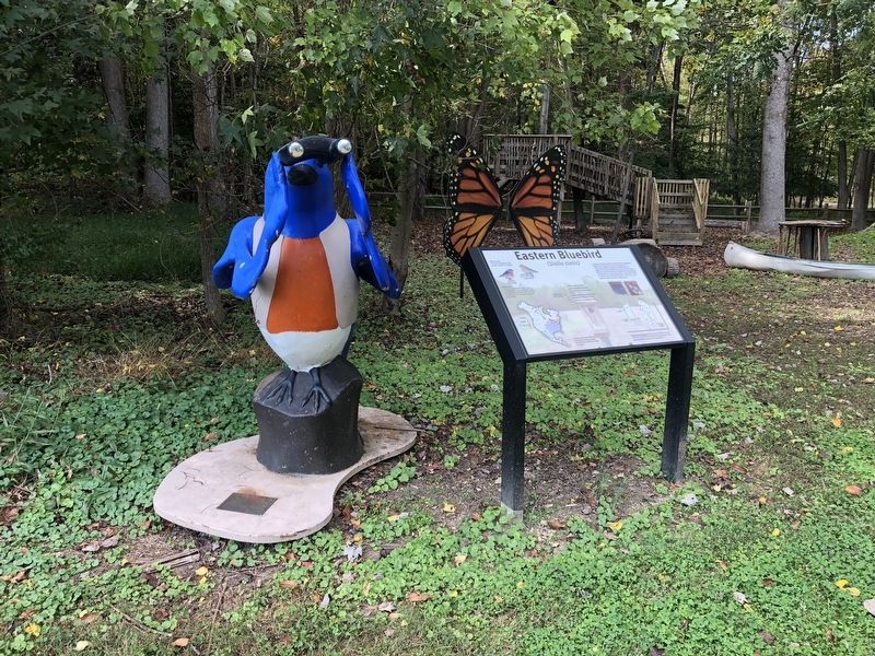
Eastern Bluebird
(Sialia sialis)
Did you know?
The Eastern Bluebird is Prince George's County's bird symbol.
Identification:
The male's bright iridescent blue coloring is a definite field marking while the female's duller coloration lends itself well to blending in with the nest as she incubates eggs and shields young.
Currently, the Eastern Bluebird is not threatened or endangered. However, in the early 20th century, its population was experiencing a significant decline due to habitat loss and aggressive nest site competition from species such as European Starlings and House Sparrows. It is important to keep watch over their population so steps could be taken in case another decline is observed. Here at Patuxent River Park, we have over 15 nest boxes we monitor during the nesting season.
Erected by Maryland Department of Natural Resources.
Topics. This historical marker is listed in these topic lists: Animals • Environment • Natural Resources.
Location. 38° 45.188′ N, 76° 42.625′ W. Marker is in Croom, Maryland, in Prince George's County. Marker is on Croom Airport Road, 0.9 miles east of Park Entrance Road, on the left when traveling west. Touch for map. Marker is at or near this postal address: 16091 Croom Airport Rd, Upper Marlboro MD 20772, United States of America. Touch for directions.
Other nearby markers. At least 8 other markers are within walking distance of this marker. John W. Greene (about 300 feet away, measured in a direct line); The Compass Rose (about 300 feet away); The Cloud Club (about 300 feet away); Columbia Air Center (about 300 feet away); The Chesapeake Bay Critical Area Driving Tour (about 400 feet away); Aviation History (approx. 0.3 miles away); Man and the River (approx. half a mile away); Woodland Indian Villages on the Patuxent River (approx. half a mile away). Touch for a list and map of all markers in Croom.

Photographed By Devry Becker Jones (CC0), October 16, 2021
2. Eastern Bluebird marker and nearby statue
Credits. This page was last revised on October 16, 2021. It was originally submitted on October 16, 2021, by Devry Becker Jones of Washington, District of Columbia. This page has been viewed 114 times since then and 15 times this year. Photos: 1, 2. submitted on October 16, 2021, by Devry Becker Jones of Washington, District of Columbia.
