Split Rock Township near Brandon in Minnehaha County, South Dakota — The American Midwest (Upper Plains)
Bergeson’s Homestead
Big Sioux Recreation Area
Photographed by Connor Olson, October 16, 2021
1. Bergeson’s Homestead Marker
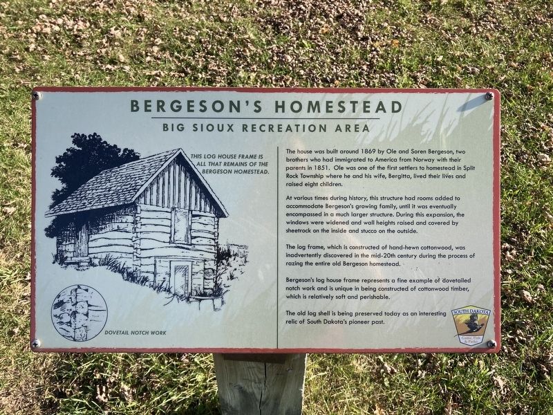
At various times during history, this structure had rooms added to accommodate Bergeson's growing family, until it was eventually encompassed in a much larger structure. During this expansion, the windows were widened and wall heights raised and covered by sheetrock on the inside and stucco on the outside.
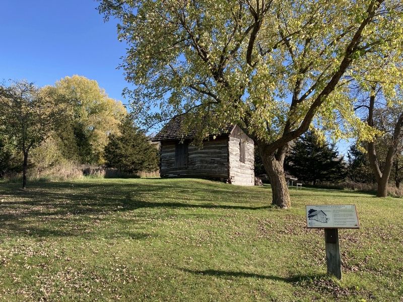
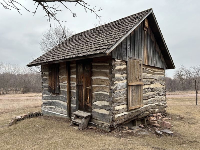
The log frame, which is constructed of hand-hewn cottonwood, was inadvertently discovered in the mid-20th century during the process of razing the entire old Bergeson homestead.
Bergeson's log house frame represents a fine example of dovetailed notch work and is unique in being constructed of cottonwood timber, which is relatively soft and perishable.
The old log shell is being preserved today as an interesting relic of South Dakota's pioneer past.
Captions:
This log house frame is all that remains of the Bergeson homestead.
Dovetail notch work
Erected by South
this page online
Topics and series. This historical marker is listed in these topic lists: Architecture • Settlements & Settlers. In addition, it is included in the Norwegian-Americans series list. A significant historical year for this entry is 1869.
Location. 43° 34.75′ N, 96° 35.885′ W. Marker is near Brandon, South Dakota, in Minnehaha County. It is in Split Rock Township. It can be reached from West Park Street. Located in the picnic area of Big Sioux State Recreation Area. Touch for map. Marker is at or near this postal address: 410 W Park St, Brandon SD 57005, United States of America. Touch for directions.

Regionally, this marker is in East River and in Greater Sioux Falls. It is also in the American Midwest, in the Lewis & Clark Corridor, in the Corn Belt, on the prairies, and on the Northern Plains. Globally, it is in North America, the Western Hemisphere, the Western World, and the Anglosphere. Historically, it finds itself in what was once Rupert’s Land and also the Louisiana Purchase.
Other nearby markers. At least 8 other markers are within 2 miles of this marker, measured
Photographed by Connor Olson, October 16, 2021
2. Bergeson’s Homestead Marker
February 23, 2024
3. Bergeson's Log Cabin
Credits. This page was last revised on March 5, 2024. It was originally submitted on October 16, 2021, by Connor Olson of Menomonee Falls, Wisconsin. This page has been viewed 757 times since then and 73 times this year. Photos: 1, 2. submitted on October 16, 2021, by Connor Olson of Menomonee Falls, Wisconsin. 3. submitted on March 5, 2024. • Mark Hilton was the editor who published this page.
