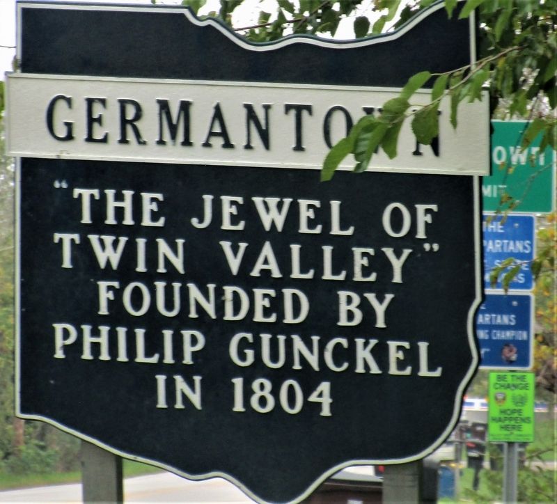
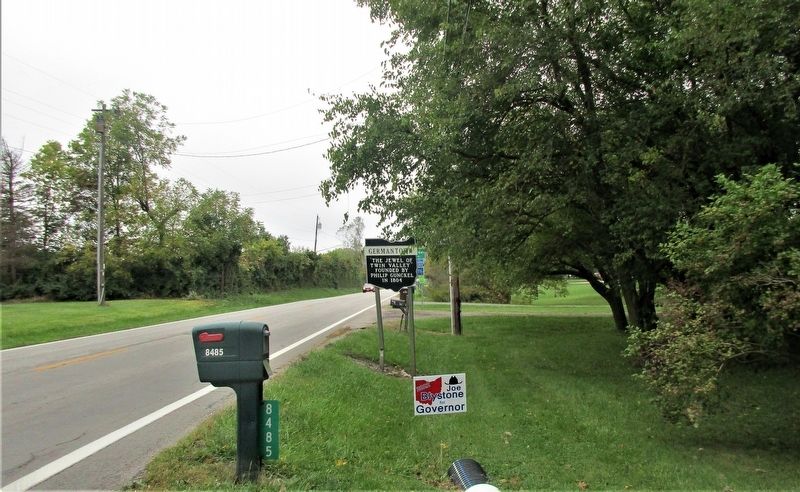
Near Germantown in Montgomery County, Ohio — The American Midwest (Great Lakes)
Germantown
East Side
Erected 1976 by Ohio Historical Society; Ohio Department of Transportation; Ohio Bicentennial Commission.
Topics and series. This historical marker is listed in this topic list: Settlements & Settlers. In addition, it is included in the Ohio Historical Society / The Ohio History Connection series list. A significant historical year for this entry is 1804.
Location. 39° 38.611′ N, 84° 20.251′ W. Marker is near Germantown, Ohio, in Montgomery County. Marker is on Upper Miamisburg Road (Ohio Route 725) 0.2 miles west of Isaac, on the right when traveling west. Touch for map. Marker is at or near this postal address: 8511 Upper Miamisburg Rd, Miamisburg OH 45342, United States of America. Touch for directions.
Other nearby markers. At least 8 other markers are within 3 miles of this marker, measured as the crow flies. Germantown's Famous Covered Bridge (approx. 1.9 miles away); Germantown Covered Bridge (approx. 1.9 miles away); Gunckel Heritage (approx. 2.1 miles away); The Shuey House (approx. 2.1 miles away); Germantown Veterans Memorial (approx. 2.3 miles away); Shuey Mill (approx. 2.3 miles away); Miamisburg in the Great Flood of 1913 (approx. 2˝ miles away); Heritage Village (approx. 2˝ miles away). Touch for a list and map of all markers in Germantown.
Credits. This page was last revised on October 17, 2021. It was originally submitted on October 16, 2021, by Rev. Ronald Irick of West Liberty, Ohio. This page has been viewed 106 times since then and 9 times this year. Photos: 1, 2. submitted on October 16, 2021, by Rev. Ronald Irick of West Liberty, Ohio. • Devry Becker Jones was the editor who published this page.

