Shiloh in Hardin County, Tennessee — The American South (East South Central)
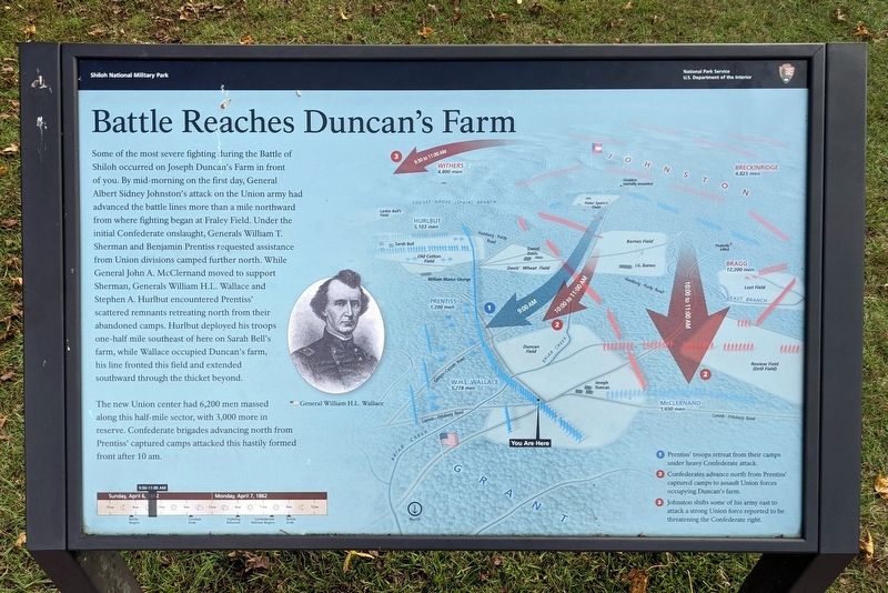
Battle Reaches Duncan's Farm
| — | Shiloh National Military Park | — |
Photographed by Bernard Fisher, October 13, 2021
1. Battle Reaches Duncan's Farm Marker
The new Union center had 6,200 men massed along this half-mile sector, with 3,000 more in reserve. Confederate brigades advancing north from Prentiss' captured camps attacked this hastily formed front after 10 am.
(captions)
General William H.L. Wallace
1 • Prentiss' troops retreat from their camps under heavy Confederate attack.
2 • Confederates advance north from Prentiss' captured camps to assault Union forces occupying Duncan's farm.
3 • Johnston shifts some of his army east to attack a strong Union force reported to be threatening the Confederate right.
Erected by National
this page online
Topics. This historical marker is listed in this topic list: War, US Civil. A significant historical date for this entry is April 6, 1862.
Location. 35° 8.29′ N, 88° 20.409′ W. Marker is in Shiloh, Tennessee, in Hardin County. It is on Confederate Road east of Eastern Corinth Road, on the left when traveling east. Touch for map. Marker is in this post office area: Shiloh TN 38376, United States of America. Touch for directions.

Regionally, this marker is in West Tennessee. It is also in the American South and specifically in the Upper South. Globally, it is in North America, the Western Hemisphere, the Western World, and the Anglosphere. Historically, it finds itself in what was once the territory of the Mississippian Culture, one of the Confederate States of America, and the Antebellum South.
Other nearby markers. At least 8 other markers are within walking distance of this marker: Battle Returns to Duncan's Farm (here, next to this marker); 2d Iowa Infantry (here, next to this marker); The Hornets' Nest (a few steps from this marker); 6th Indiana Infantry (within
Photographed by Bernard Fisher, October 13, 2021
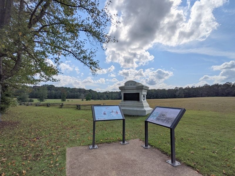
2. Battle Reaches Duncan's Farm Marker
Also see . . . Shiloh National Military Park. National Park Service (Submitted on October 17, 2021.)
Photographed by Bernard Fisher, October 13, 2021
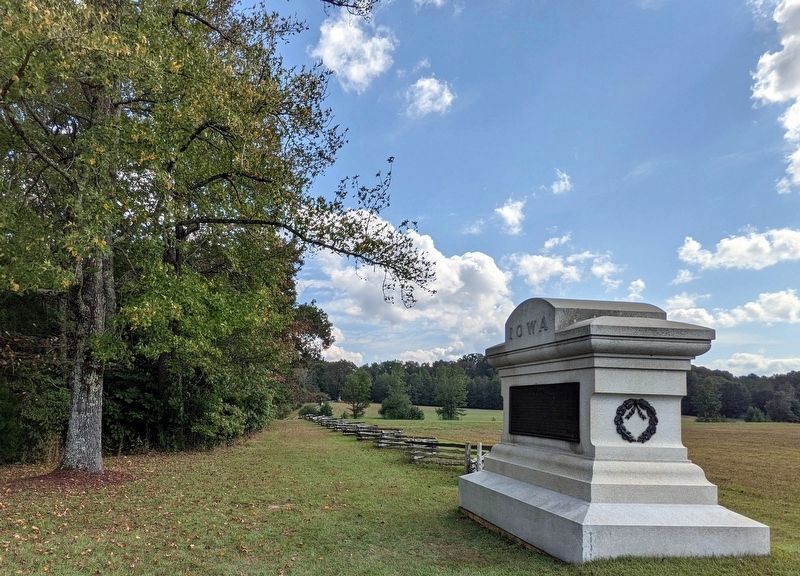
3. Duncan's Farm Sunken Road
Credits. This page was last revised on October 17, 2021. It was originally submitted on October 17, 2021, by Bernard Fisher of Richmond, Virginia. This page has been viewed 725 times since then and 39 times this year. Photos: 1, 2, 3. submitted on October 17, 2021, by Bernard Fisher of Richmond, Virginia.
