Miamisburg in Montgomery County, Ohio — The American Midwest (Great Lakes)
The Miami Erie Canal
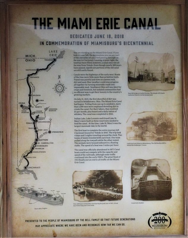
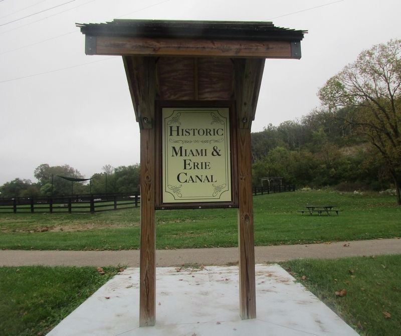
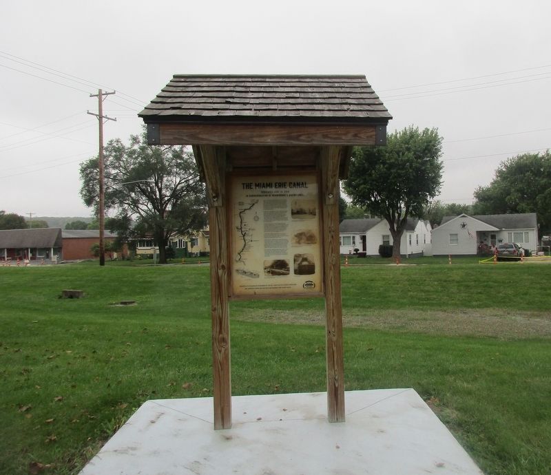
You are standing on the Miami Erie Canal. If you look to your left, the depressions you see are part of the 248 miles of canal bed passing through on the way to Cincinnati. Looking to your right, the land has been filled, however, a canal once ran all the way from Toledo. Even though nearly 200 years have passed, significant portions of the canal are still easily found.
Canals were the highways of the early west. Roads of the time were little more than primitive trails. Travel was painful and slow on uneven rock, dirt and sand. Poor weather could stop progress all together by turning miserable roads into impassable mud. Southeastern Ohio soil was ideal for crops and livestock, but isolated communities had no efficient way to get their bounty to the country’s growing markets.
On July 21, 1825, the first shovelful of dirt was turned in Middletown, Ohio. The Miami Erie Canal had begun. Toiling from sun up to sundown, more than 1,000 men were employed shoveling dirt to create the canal. For their labors, they received $5 per month, plus board and a daily ration of whiskey. The canal was completed in 1842.
Indian Lake, Lake Loramie and Grand Lake St. Mary’s were built as three reservoirs needed to feed the canal. At the time, Lake St. Mary’s was the largest manmade lake in the world.
The first boat to complete the entire journey left Cincinnati bound for Toledo in 1845. The trip took 4 days and 5 nights traveling around the clock. Two teams of mules traveled with each boat. One team pulled along the towpath while the other rested. The animals were housed onboard in a floating stable. The speed of a boat was 3 miles per hour.
The canal was officially abandoned in 1877. Canal boats could not compete with the capacity and speed of the railroads, although some traffic continued into the early 1900’s. The great flood of 1913 finally put an end to all traffic on the Miami Erie Canal.
Erected 2018 by The Bell Family.
Topics and series. This historical marker is listed in these topic lists: Animals • Industry & Commerce • Waterways & Vessels. In addition, it is included in the The Miami & Erie Canal series list. A significant historical date for this entry is July 21, 1825.
Location. 39° 38.009′ N, 84° 17.48′ W. Marker is in Miamisburg, Ohio, in Montgomery County. Marker is on South Main Street just north of Hillview Avenue, on the left when traveling south. The marker stands in Canal Run Dog Park. Touch for map. Marker is at or near this postal address: 550 S Main St, Miamisburg OH 45342, United States of America. Touch for directions.
Other nearby markers. At least 8 other markers are within walking distance of this marker. Heritage Village (approx. 0.3 miles away); Mound Laboratory (1946- 2010) (approx. half a mile away); Site of Mound Laboratory (1946- 2003) (approx. half a mile away); Miamisburg in the Great Flood of 1913 (approx. half a mile away); Miamisburg High School (approx. half a mile away); The Miami Connection (approx. 0.6 miles away); "Lest We Forget" (approx. 0.7 miles away); a different marker also named Lest We Forget (approx. 0.7 miles away). Touch for a list and map of all markers in Miamisburg.
Credits. This page was last revised on October 19, 2021. It was originally submitted on October 17, 2021, by Rev. Ronald Irick of West Liberty, Ohio. This page has been viewed 231 times since then and 48 times this year. Photos: 1, 2, 3, 4. submitted on October 17, 2021, by Rev. Ronald Irick of West Liberty, Ohio. • Devry Becker Jones was the editor who published this page.


