Elizabethton in Carter County, Tennessee — The American South (East South Central)
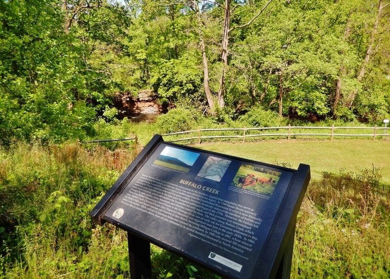
Buffalo Creek
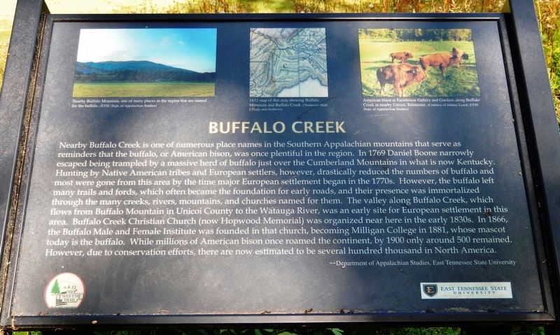
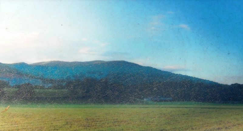
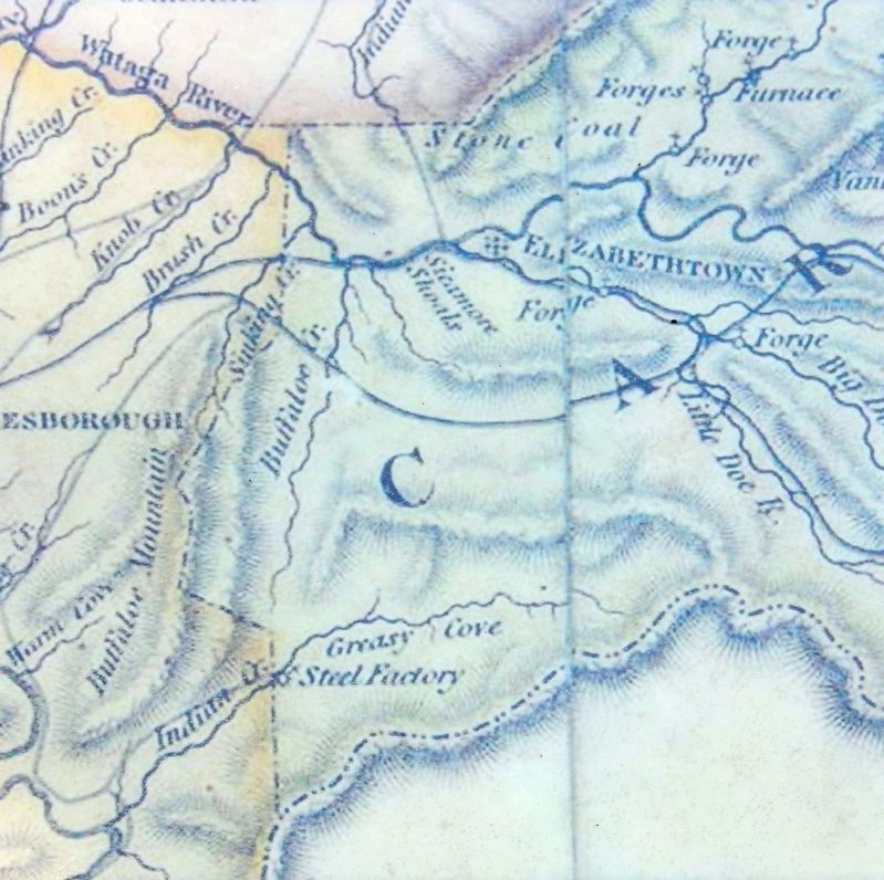
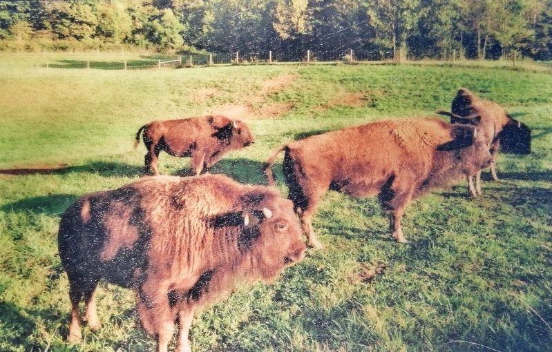
Nearby Buffalo Creek is one of numerous place names in the Southern Appalachian mountains that serve as reminders that the buffalo, or American bison, was once plentiful in the region. In 1769 Daniel Boone narrowly escaped being trampled by a massive herd of buffalo just over the Cumberland Mountains in what is now Kentucky. Hunting by Native American tribes and European settlers, however, drastically reduced the numbers of buffalo and most were gone from this area by the time major European settlement began in the 1770s. However, the buffalo left many trails and fords, which often became the foundation for early roads, and their presence was immortalized through the many creeks, rivers, mountains, and churches named for them. The valley along Buffalo Creek, which flows from Buffalo Mountain in Unicoi County to the Watauga River, was an early site for European settlement in this area. Buffalo Creek Christian Church (now Hopwood Memorial) was organized near here in the early 1830s. In 1866, the Buffalo Male and Female Institute was founded in that church, becoming Milligan College in 1881, whose mascot today is the buffalo. While millions of American bison once roamed the continent, by 1900 only around 500 remained. However, due to conservation efforts, there are now estimated to be several hundred thousand in North America.
—Department of Appalachian Studies. East Tennessee State University
Erected by Department of Appalachian Studies, East Tennessee State University.
Topics. This historical marker is listed in these topic lists: Animals • Churches & Religion • Native Americans • Settlements & Settlers. A significant historical year for this entry is 1769.
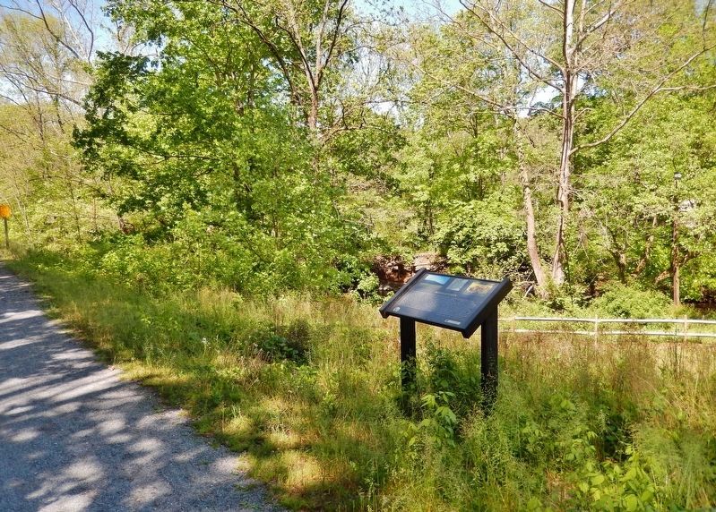
Location. 36° 19.468′ N, 82° 16.368′ W. Marker is in Elizabethton, Tennessee, in Carter County. Marker can be reached from the intersection of West G Street (Tennessee Route 67) and West Elk Avenue (U.S. 321), on the right when traveling west. Marker is located on the Tweetsie Trail, about 4/10 mile west of West G Street, overlooking Buffalo Creek to the north. Touch for map. Marker is in this post office area: Elizabethton TN 37643, United States of America. Touch for directions.
Other nearby markers. At least 8 other markers are within walking distance of this marker. Sabine Hill (approx. ¼ mile away); a different marker also named Sabine Hill (approx. ¼ mile away); Restoration of Sabine Hill (approx. ¼ mile away); The Taylor Family (approx. ¼ mile away); Uncovering the Past (approx. ¼ mile away); Mary Patton's Powder Mill (approx. 0.4 miles away); Powder Branch (approx. 0.6 miles away); Fort Watauga Monument (approx. 0.9 miles away). Touch for a list and map of all markers in Elizabethton.
Credits. This page was last revised on October 17, 2021. It was originally submitted on October 17, 2021, by Cosmos Mariner of Cape Canaveral, Florida. This page has been viewed 474 times since then and 71 times this year. Photos: 1, 2, 3, 4, 5, 6. submitted on October 17, 2021, by Cosmos Mariner of Cape Canaveral, Florida.
