Decatur in Wise County, Texas — The American South (West South Central)
Sand Hill Community
Photographed by Jackson Frye
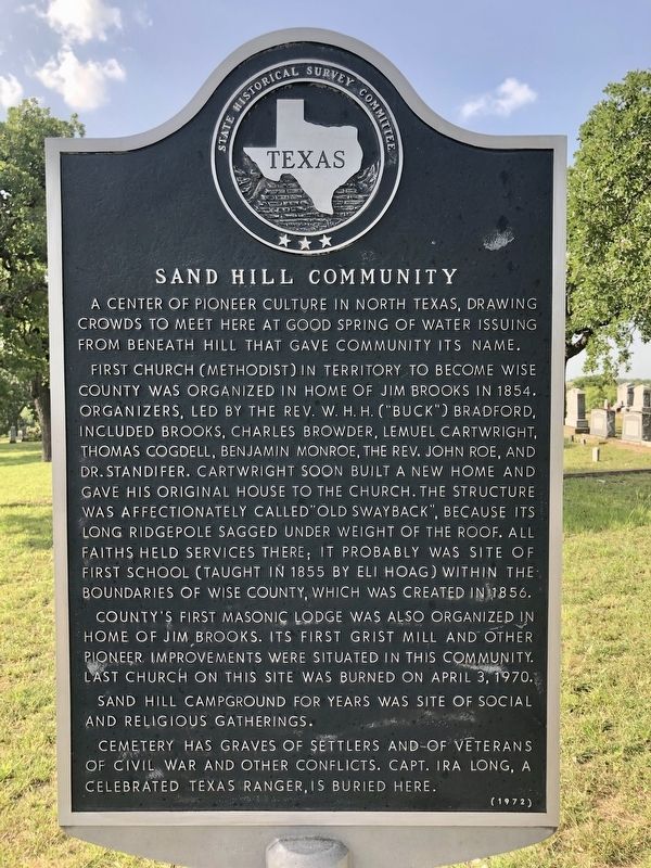
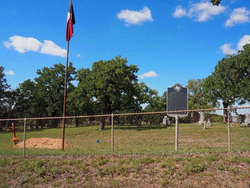
1. Sand Hill Community Marker
A center of pioneer culture in North Texas, drawing crowds to meet here at good spring of water issuing from beneath hill that gave community its name.
First church (Methodist) in territory to become Wise County was organized in home of Jim Brooks in 1854. Organizers, led by the Reverend W. H. H. ("Buck") Bradford, included Brooks, Charles Browder, Lemuel Cartwright, Thomas Cogdell, Benjamin Monroe, the Reverend John Roe, and Dr. Standifer. Cartwright soon built a new home and gave his original house to the church. The structure was affectionately called "Old Swayback", because its long ridgepole sagged under weight of the roof. All faiths held services there; it probably was site of first school (taught in 1855 by Eli Hoag) within the boundaries of Wise County, which was created in 1856.
County's first Masonic Lodge was also organized in home of Jim Brooks. Its first gristmill and other pioneer improvements were situated in this community. Last church on this site was burned on April 3, 1970.
Sand Hill Campground for years was site of social and religious gatherings.
Cemetery has graves of settlers and of veterans of Civil
this page online
Erected 1972 by State Historical Survey Committee. (Marker Number 4560.)
Topics. This historical marker is listed in these topic lists: Religion & Religious Structures • Settlements & Settlers. A significant historical year for this entry is 1854.
Location. 33° 10.333′ N, 97° 33.359′ W. Marker is in Decatur, Texas, in Wise County. It is on County Road 4226 east of County Highway 4127, on the left when traveling east. The marker is located inside the Sand Hill Cemetery. The cemetery is on a rural back road. Touch for map. Marker is in this post office area: Decatur TX 76234, United States of America. Touch for directions.

Regionally, this marker is in the Prairies & Lakes Region and in the Dallas-Fort Worth Metropolitan Area. Globally, it is in North America, a Gulf of Mexico state, the Western Hemisphere, the Western World, and the Anglosphere. Historically, it finds itself in what was once New Spain, the Republic of Texas, and one of the Confederate States of America.
Other nearby markers. At least 8 other markers are within 4
Photographed by Jackson Frye
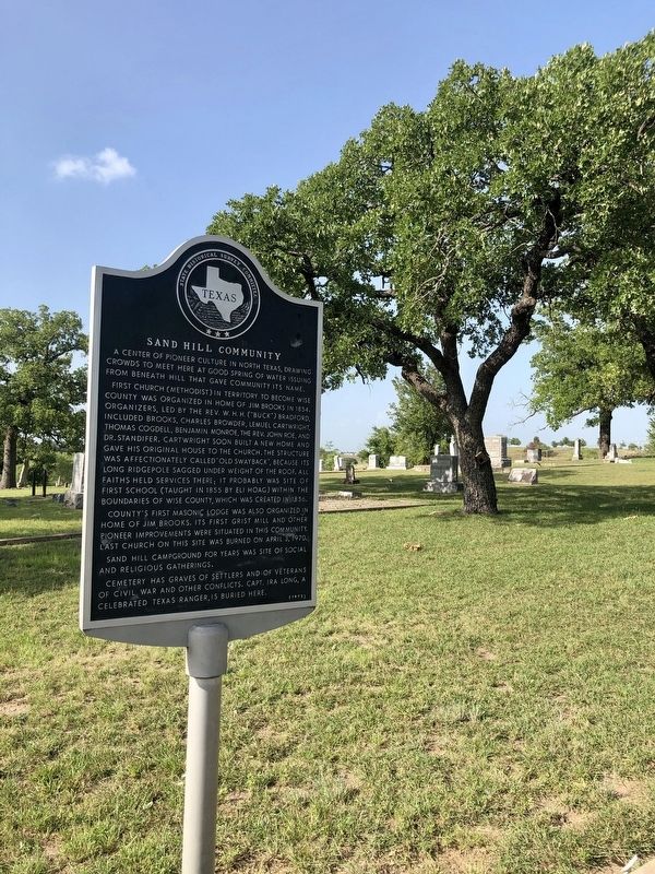
2. Sand Hill Community Marker
Photographed by Jackson Frye
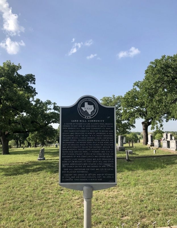
3. Sand Hill Community Marker
Photographed by Matthew G French, September 12, 2024
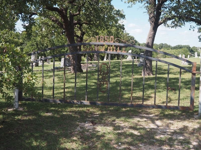
4. Sand Hill Cemetary Entrance
Photographed by Matthew G French, September 12, 2024
5. Sand Hill Community Marker
Credits. This page was last revised on September 15, 2024. It was originally submitted on October 18, 2021, by J Frye of Fort Worth, Texas. This page has been viewed 947 times since then and 43 times this year. Photos: 1, 2, 3. submitted on October 18, 2021, by J Frye of Fort Worth, Texas. 4, 5. submitted on September 13, 2024, by Matthew G French of Fort Worth, Texas. • J. Makali Bruton was the editor who published this page.
