Blum in Hill County, Texas — The American South (West South Central)
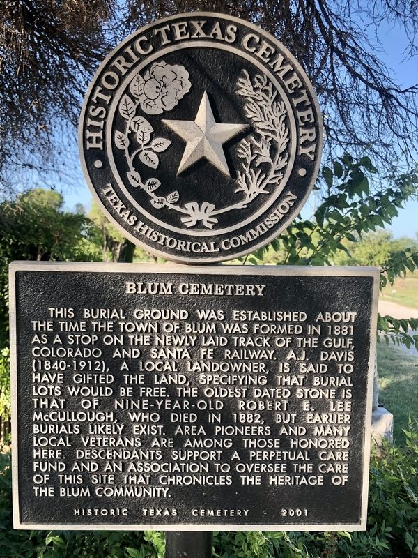
Blum Cemetery
This burial ground was established about the time the town of Blum was formed in 1881 as a stop on the newly laid track of the Gulf, Colorado and Santa Fe Railway. A.J. Davis (1840-1912), a local landowner, is said to have gifted the land, specifying that burial lots would be free. The oldest dated stone is that of nine-year-old Robert E. Lee McCullough, who died in 1882, but earlier burials likely exist. Area pioneers and many local veterans are among those honored here. Descendants support a perpetual care fund and an association to oversee the care of this site that chronicles the heritage of the Blum Community.
Historic Texas Cemetery - 2001
Erected 2001 by Texas Historical Commission. (Marker Number 14641.)
Topics. This historical marker is listed in these topic lists: Cemeteries & Burial Sites • Railroads & Streetcars • Settlements & Settlers. A significant historical year for this entry is 1881.
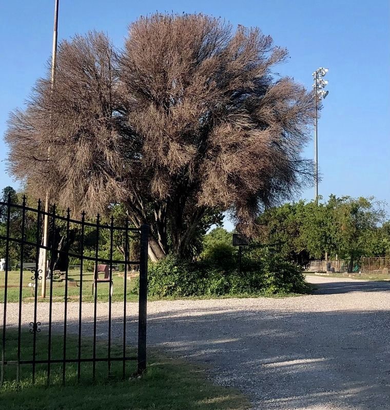
Location. 32° 8.252′ N, 97° 23.807′ W. Marker is in Blum, Texas, in Hill County. Marker is on Avenue F south of East 6th Street, on the right when traveling south. The marker is located inside the cemetery gate. Touch for map. Marker is at or near this postal address: 309 Avenue F, Blum TX 76627, United States of America. Touch for directions.
Other nearby markers. At least 8 other markers are within 7 miles of this marker, measured as the crow flies. Guy Bailey (approx. 0.3 miles away); Phillip Nolan (approx. 2.9 miles away); Grange Hall Cemetery (approx. 6.2 miles away); Rio Vista (approx. 6.7 miles away); Menefee Reunion (approx. 6.8 miles away); Henry Briden Cabin (approx. 6.8 miles away); Early Cattle Trade (approx. 6.9 miles away); Huron (approx. 7 miles away). Touch for a list and map of all markers in Blum.
Credits. This page was last revised on October 19, 2021. It was originally submitted on October 19, 2021, by J Frye of Fort Worth, Texas. This page has been viewed 222 times since then and 38 times this year. Photos: 1, 2. submitted on October 19, 2021, by J Frye of Fort Worth, Texas. • J. Makali Bruton was the editor who published this page.

